Written by Neon
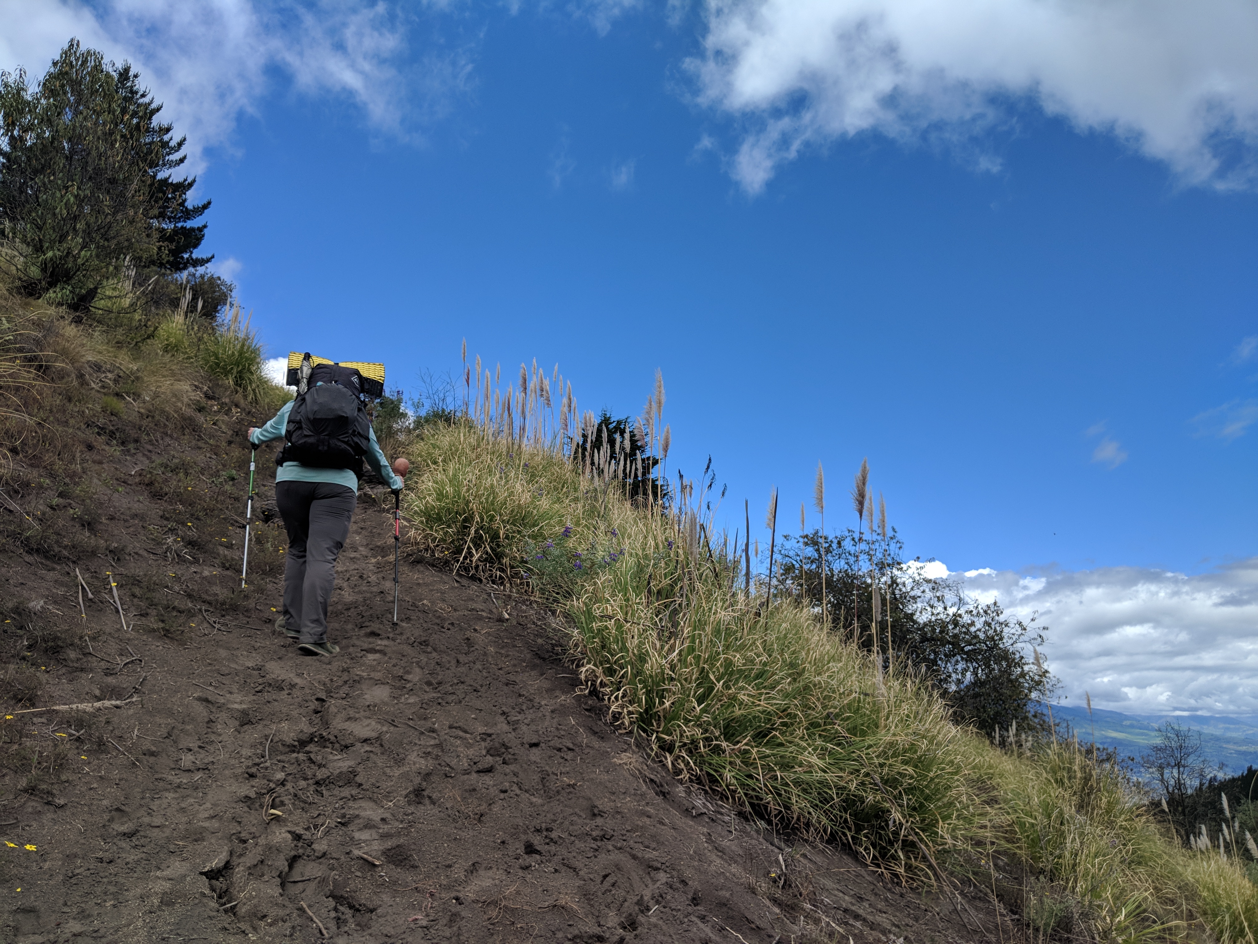
Riobamba is situated in a valley surrounded by volcanoes. The cloud cover prevented us from seeing the tops of the peaks most of the time but we definitely felt their presence.
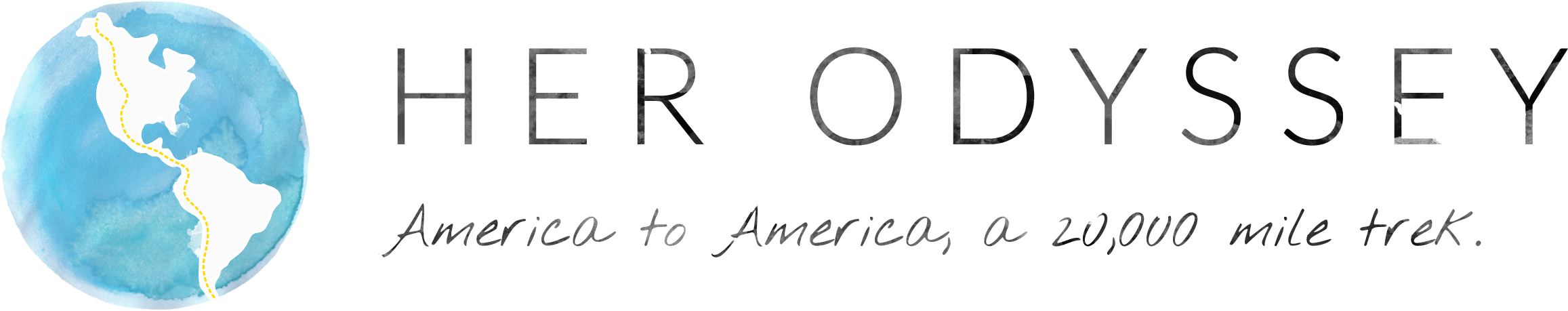
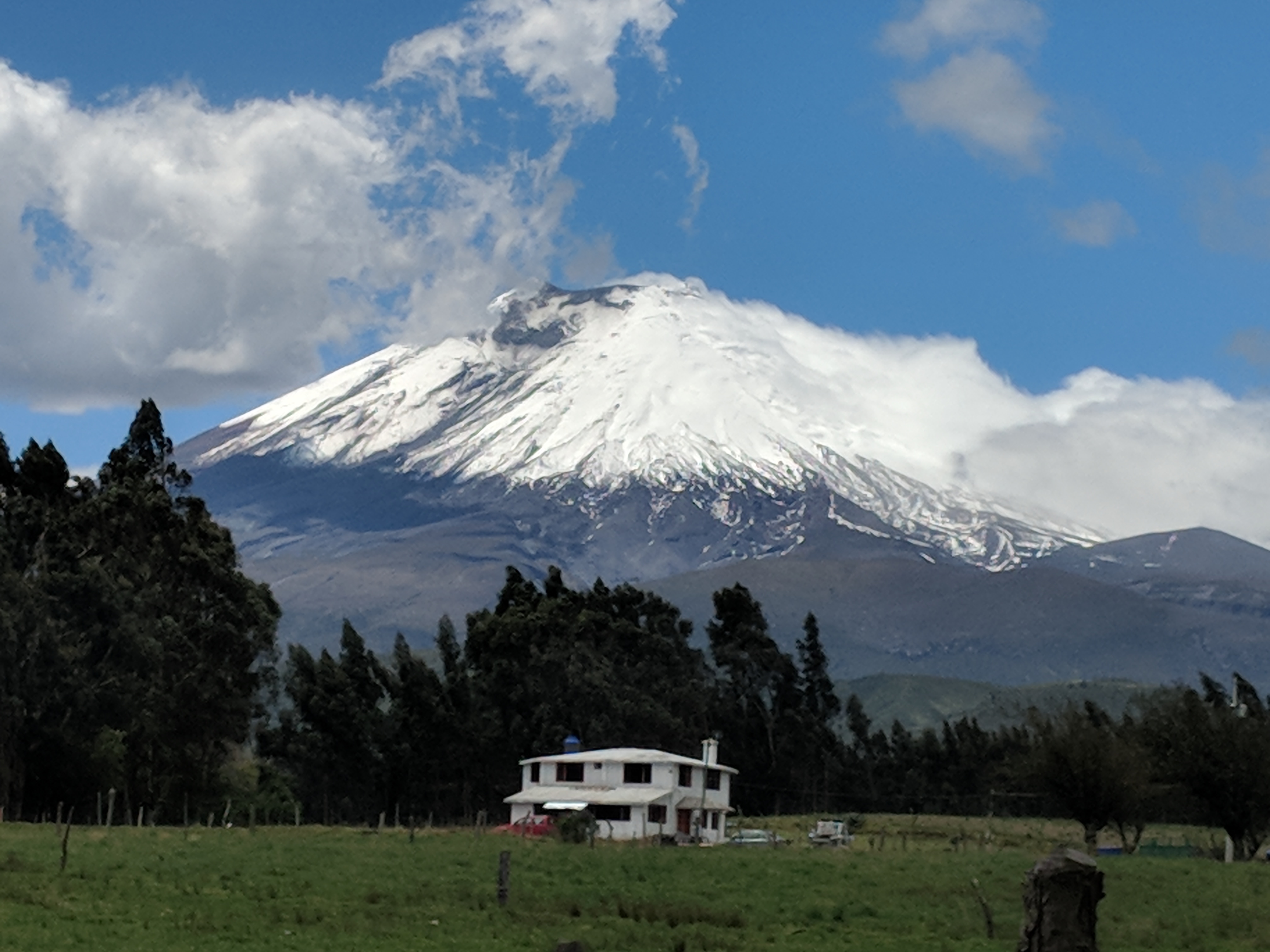
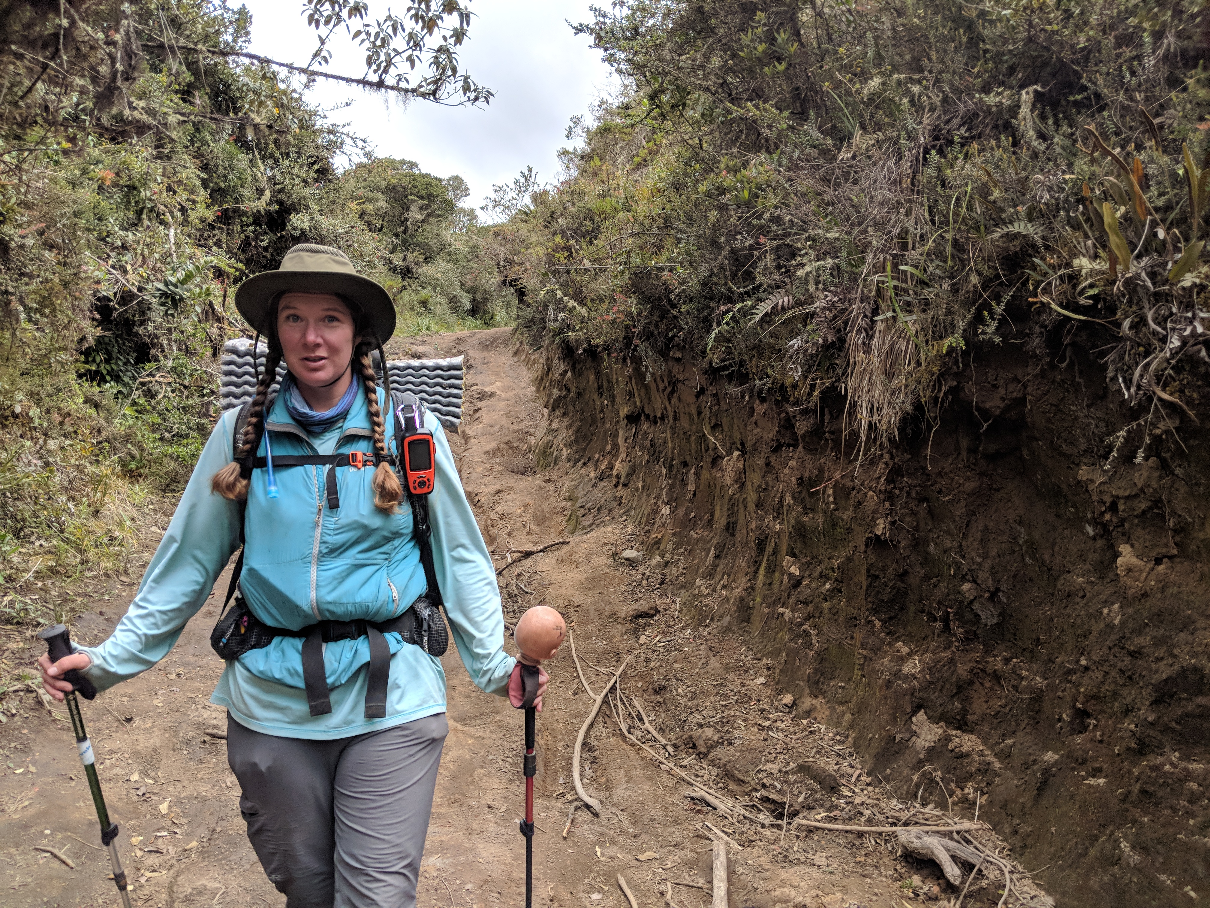
Leaving the city, the day began cloudy and spritzed rain on us as we ascended out of the valley to a pass between mountains. We climbed along older or abandoned dirt roads to a tiny town two-thirds of the way to the pass where we stopped for lunch. Men in the corner of the shop had a rousing discussion about the most recent soccer game while all we ate our almuerzo- a pile of rice and lentils with a small piece of meat atop it. Leaving our lunch stop, we noticed the clouds clearing. I hoped we’d be able to get a view. Fidgit and I ascended to the pass over the next couple hours and unfortunately the clouds were still covering the peaks. We began our descent, twisting down along another valley edge. As we turned once again towards the clouded peaks, they decided to come out for a moment and Volcan Chimborazo snuck out along one side of the valley while Cotopaxi peeked out in the distance. Seeing that natural beauty put a pep in our step and we oohed and ahhhed while attempting to photograph the peaks. After such a show, Fidgit and I breezed through into the evening before stopping for the night.
The next day, we walked through the valley into the city of Ambato. Mostly along dirt and paved roads, we passed through the many small towns and along the farm fields that took up the spaces between. Ambato is a bustling city. I was stressed walking along the streets with a full pack on, though once we got to where we were staying and settled in, I felt much better. Eating something also helped. After a hot shower and a good night’s sleep, I was ready to take on the climb out of Ambato.
All of the cities we’ve passed through in Ecuador are in valleys, so I knew the climb was coming. This one was a bit steeper than the rest, especially since we tried a shortcut that went straight up into someone’s yard. They allowed us passage while scolding us for taking a ‘private path’. After a quick lunch of leftovers and ice cream, we continued up and along a side road, which was also an Inca Trail, according to the signs. The low cloud cover continued to impede our mountain views, though the walking climate was pleasant and after a couple of days we found ourselves at the other end of the valley in the city of Latacunga. We then prepared for our trip around Cotopaxi and into the Quito valley.
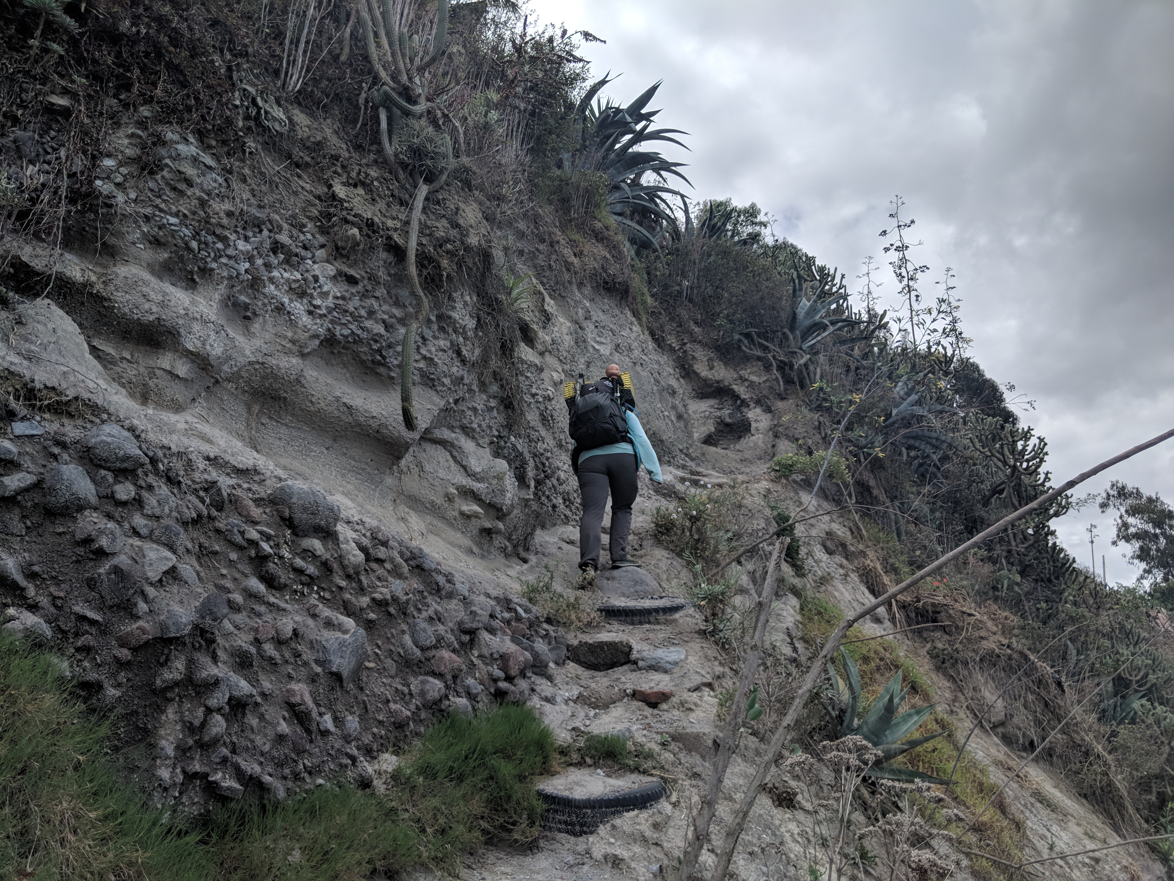
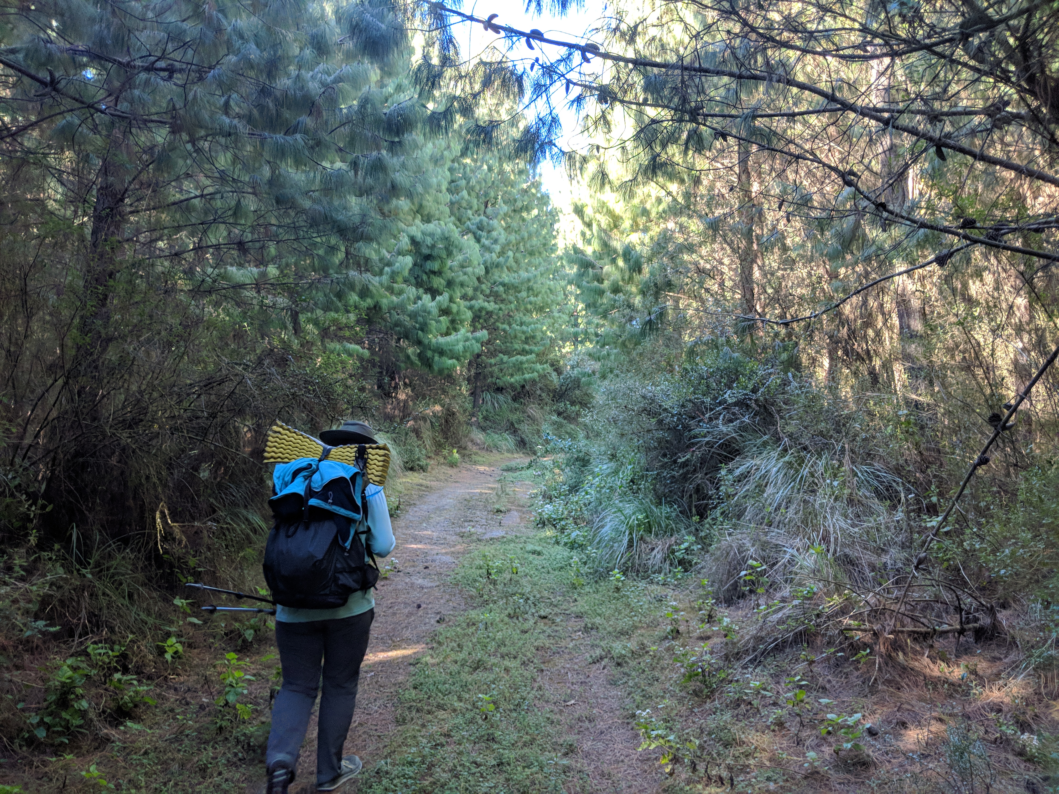
Leaving Latacunga, we made our way to the small town of Mulalo. From there, we walked along a dirt road to a two track to an abandoned road. Though short-lived, hopping fences and doing some route finding when the ‘road’ disappeared reminded me once again about the joys of adventuring and creating our own way. It can be fun to get off the beaten path and find your own way. At the end of the day, however, the ascent took its toll and I was ready to rest. As twilight descended, we found a campsite and set up away from the noisy campers. The clouds rolled in as I ate some cold leftovers and attempted to get some rest.
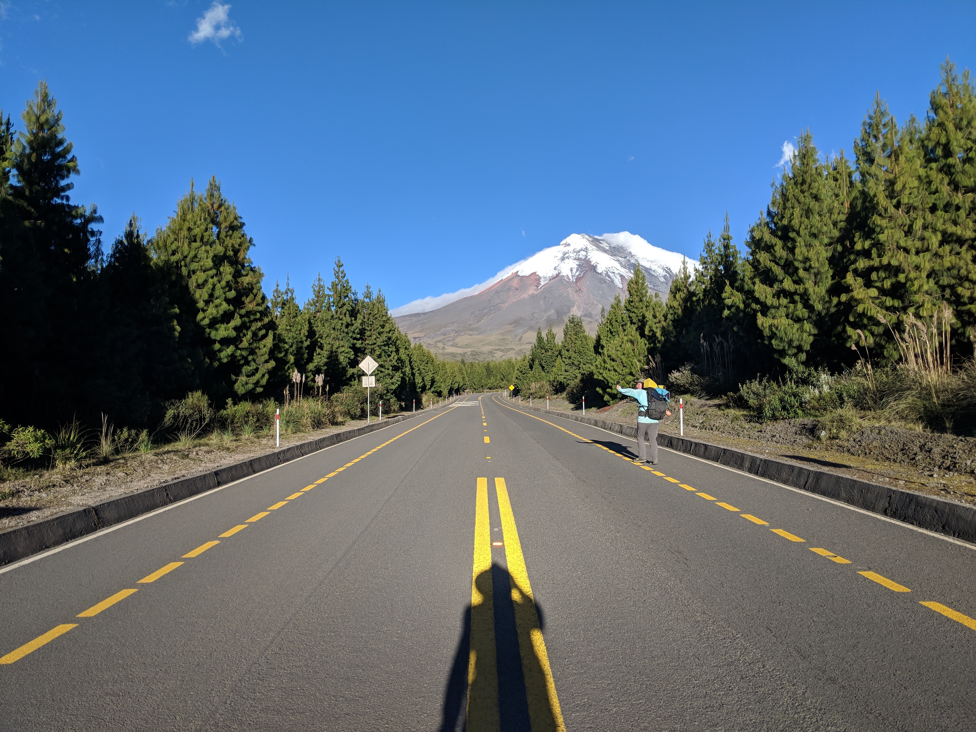
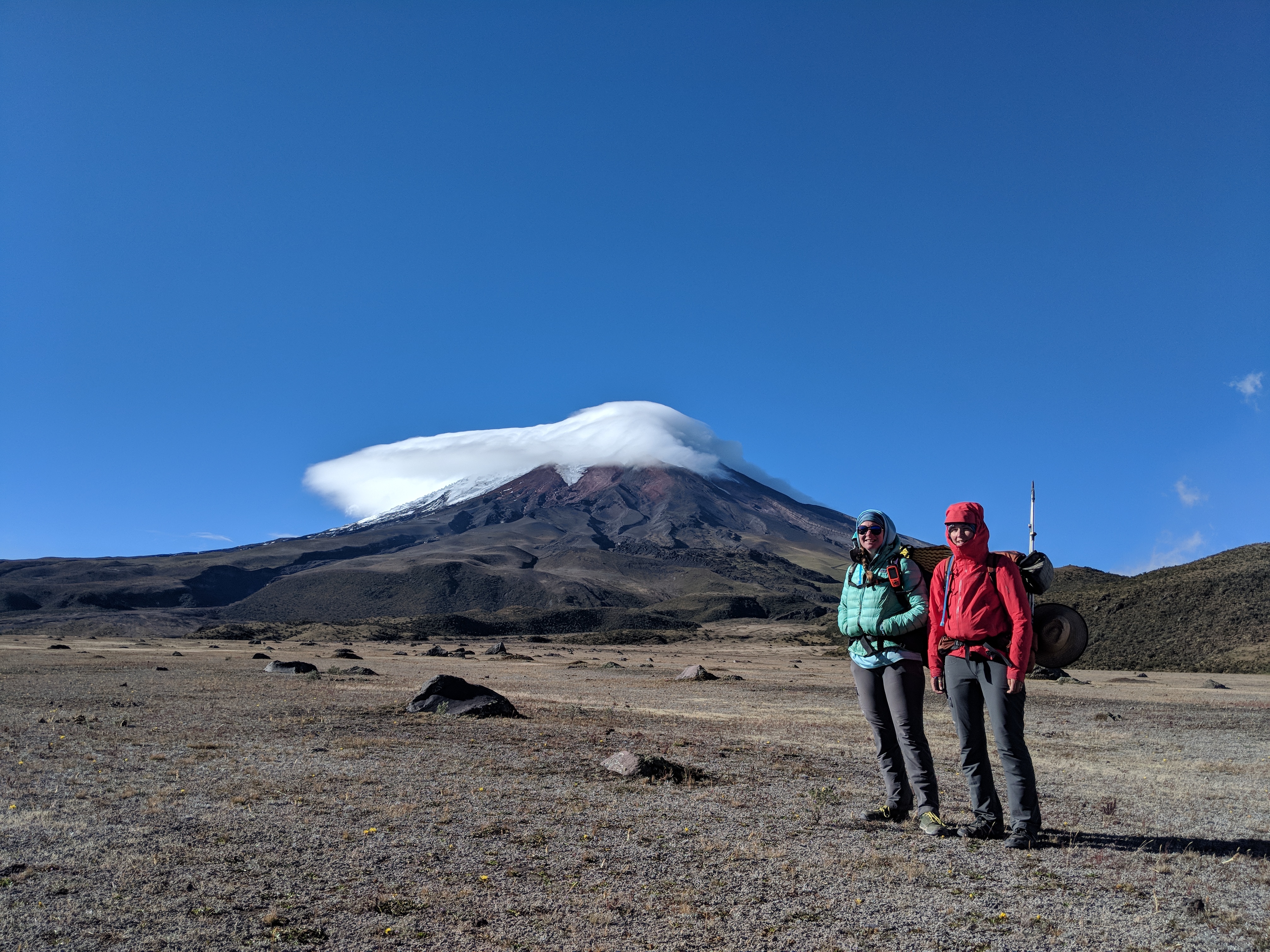
The chill in the air kept me from sleeping much, so I tossed and turned trying to keep warm through the night into the morning. Fidgit didn’t fare much better and we groggily packed up and set off to warm up as soon as it was light enough. The frozen hands and feet had me in a bad mood, and the wind and cold wasn’t helping. We walked down the road for a while in the continued cloud. As we were about to meet another route to descend, the clouds being blown past us began thinning and we got another view of the amazing mountain we’d been walking along.
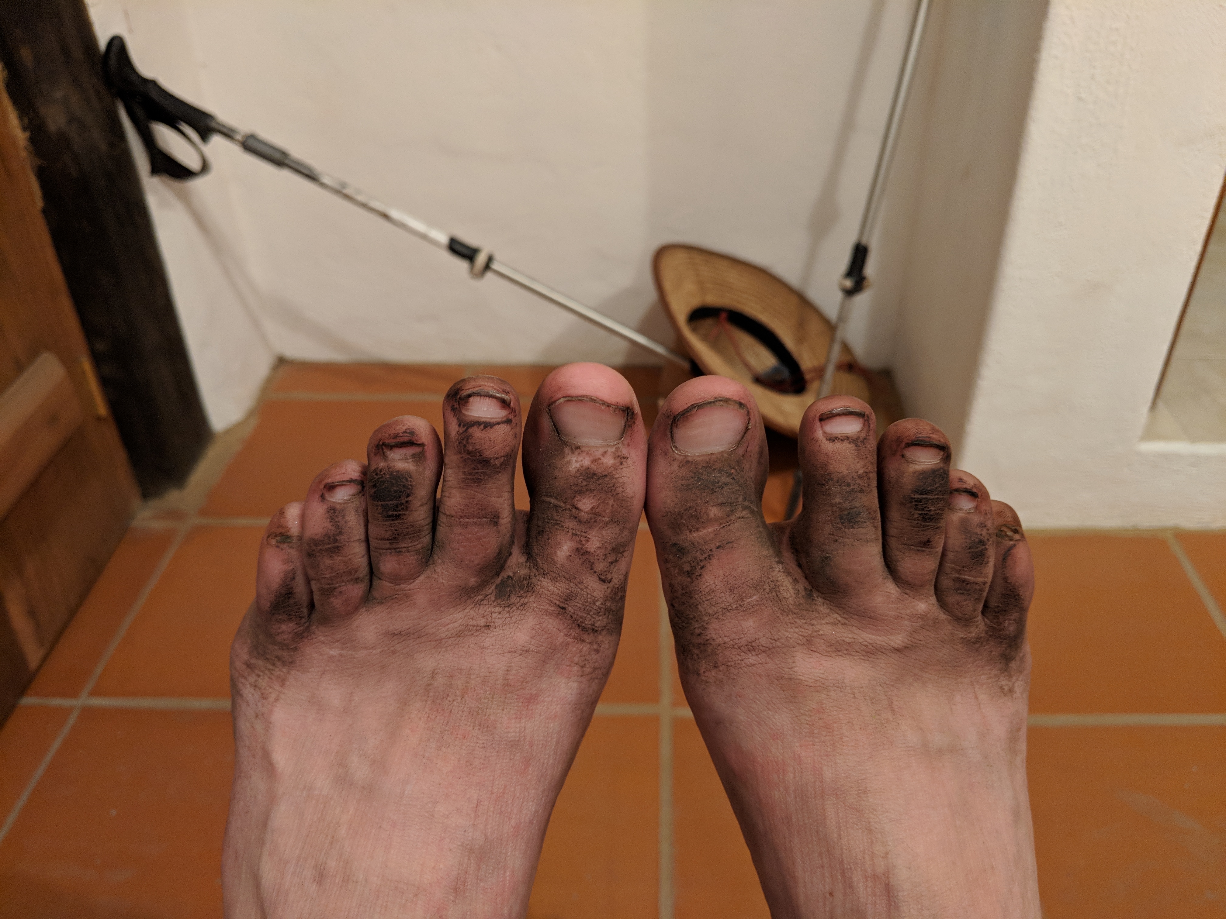
My spirits lifted with the cloud cover, and we continued on in the windy sunshine. Descending along a two-track that took us across a boulder field then along a river valley. Dirt tracks turned into cobblestone for the second half of the day and my body did not approve of the harsh change. My feet all the way up to my hips was in pain by kilometer 35 and I had to stop for the day. Shivering in pain, I forced myself to eat and drink something before the sweet respite of sleep overcame me
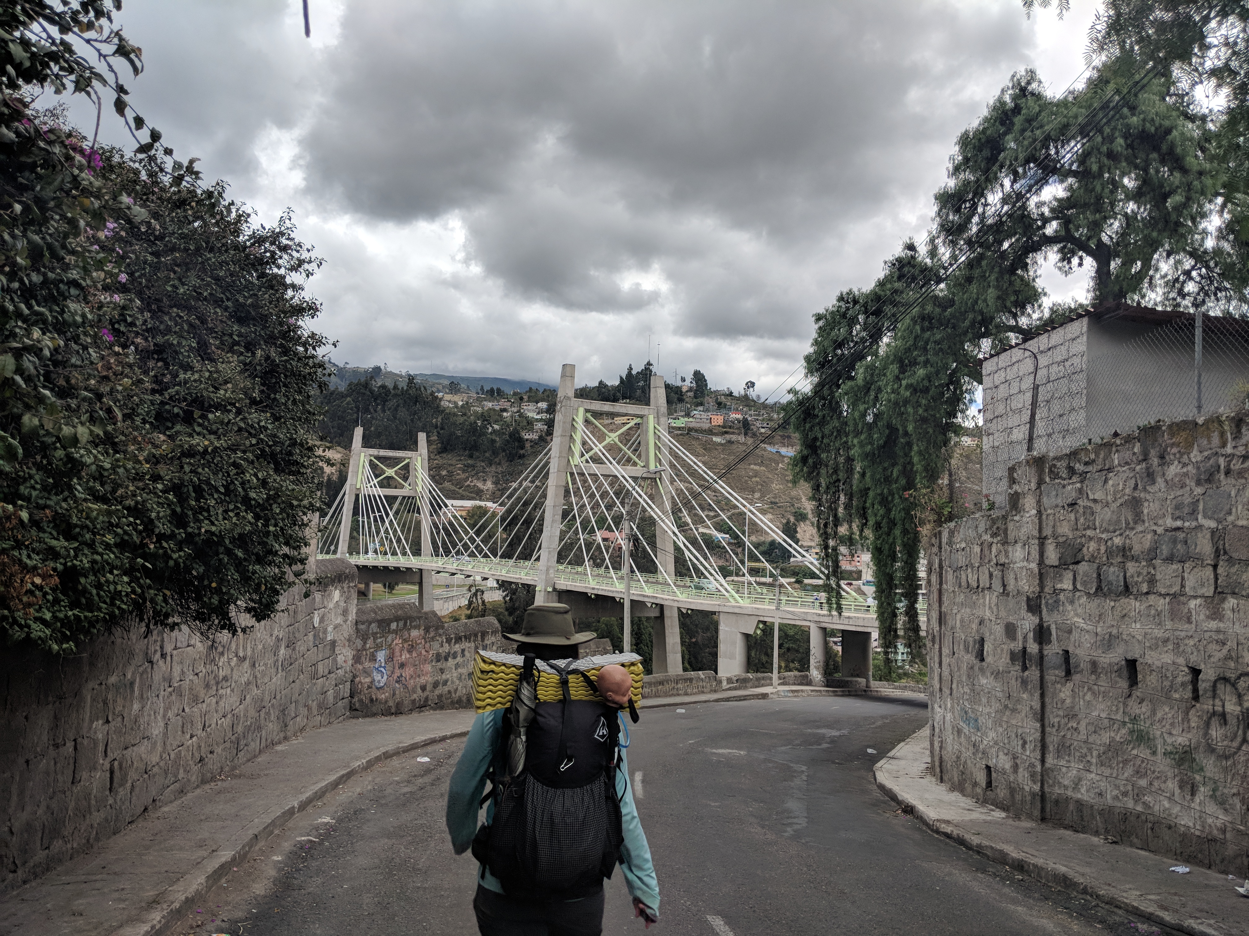
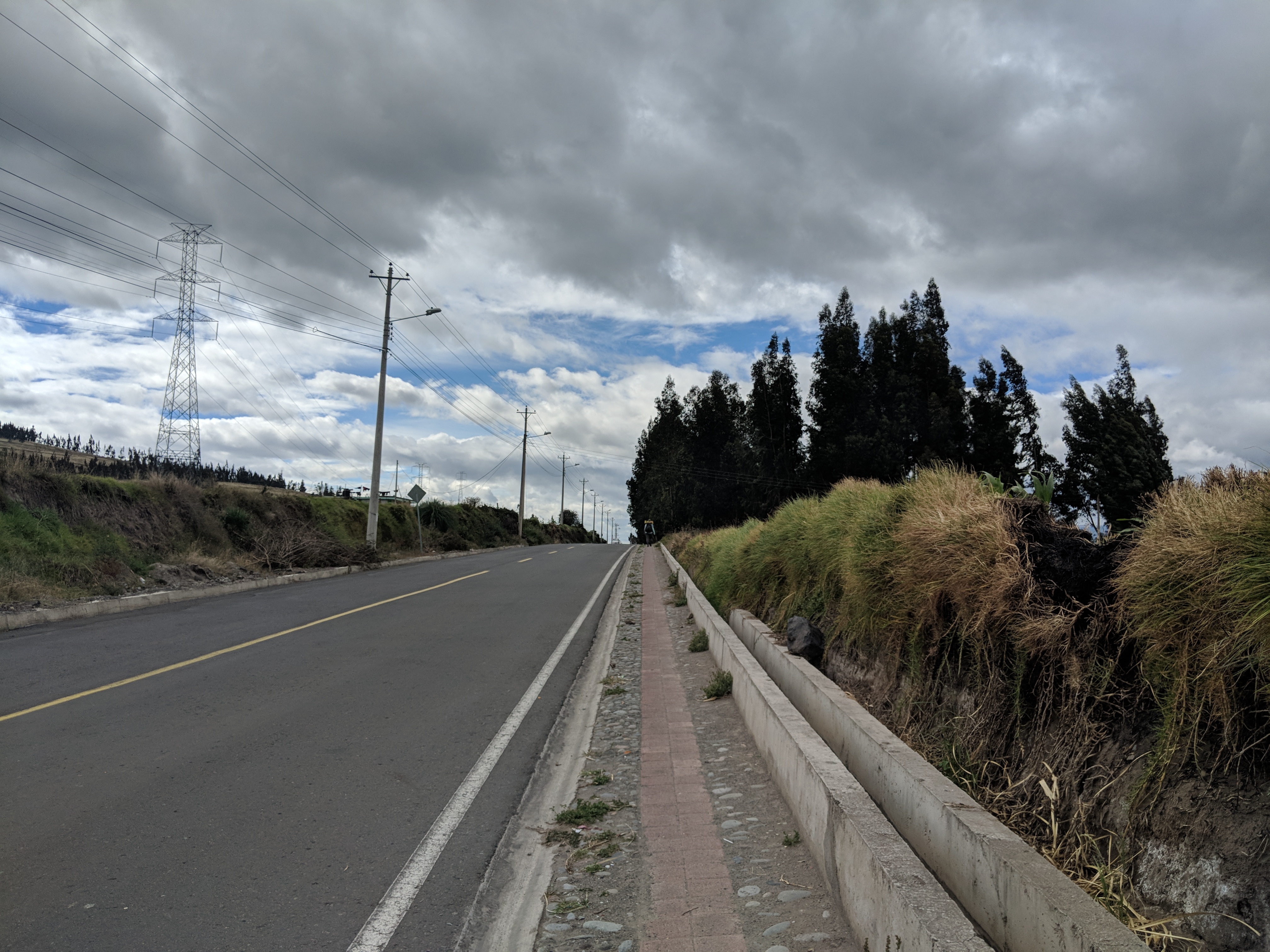
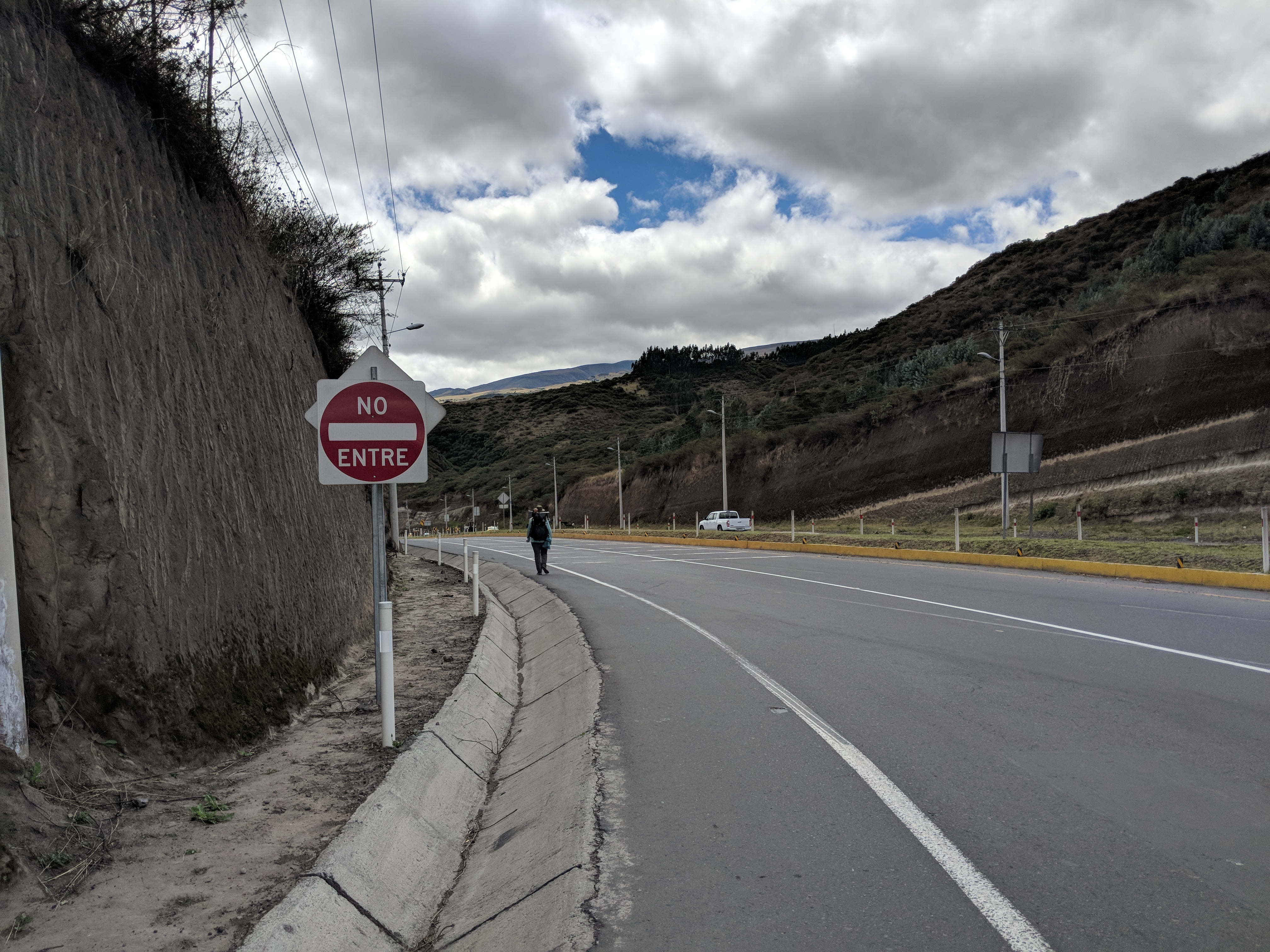
Thankfully a good nights’ sleep improved the situation, and I was merely stiff and sore the next morning. We walked further into the Quito Valley, and had our first experience walking along the Pan-American Highway. I won’t say it was enjoyable, but it did get us where we wanted to go in a timely manner. I was glad we only had to walk along the highway for a few hours before we could turn off down a side road to finish our day.
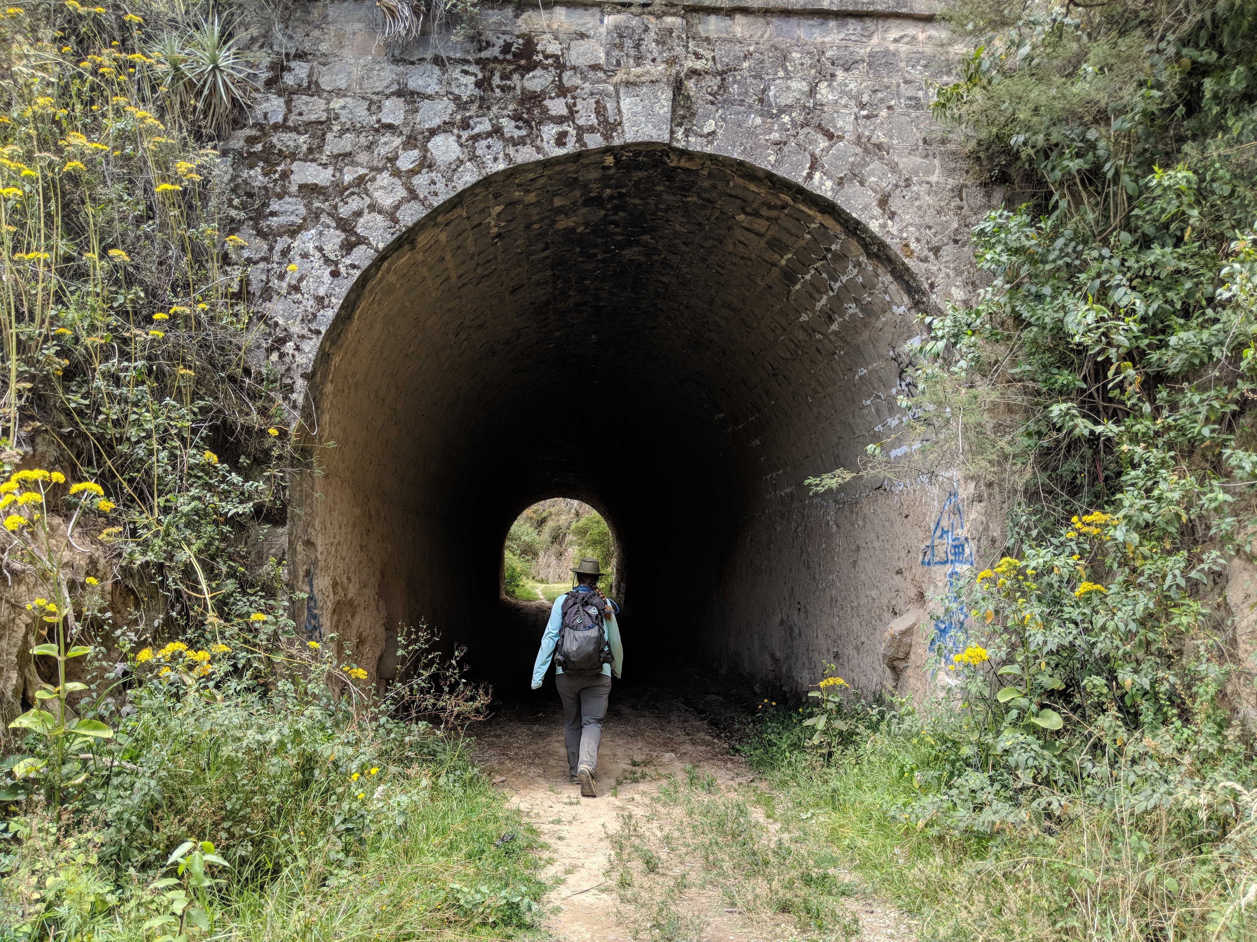
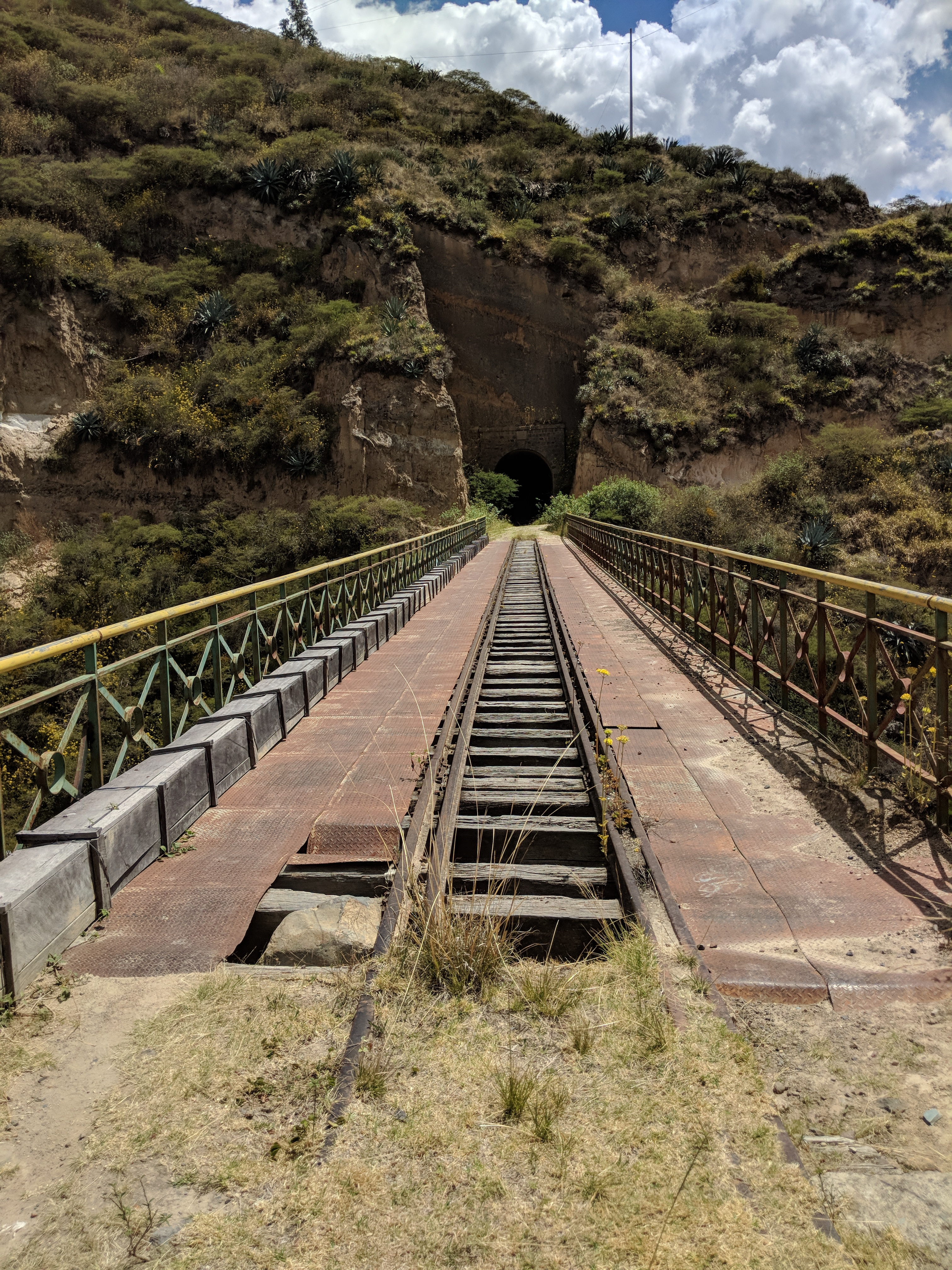
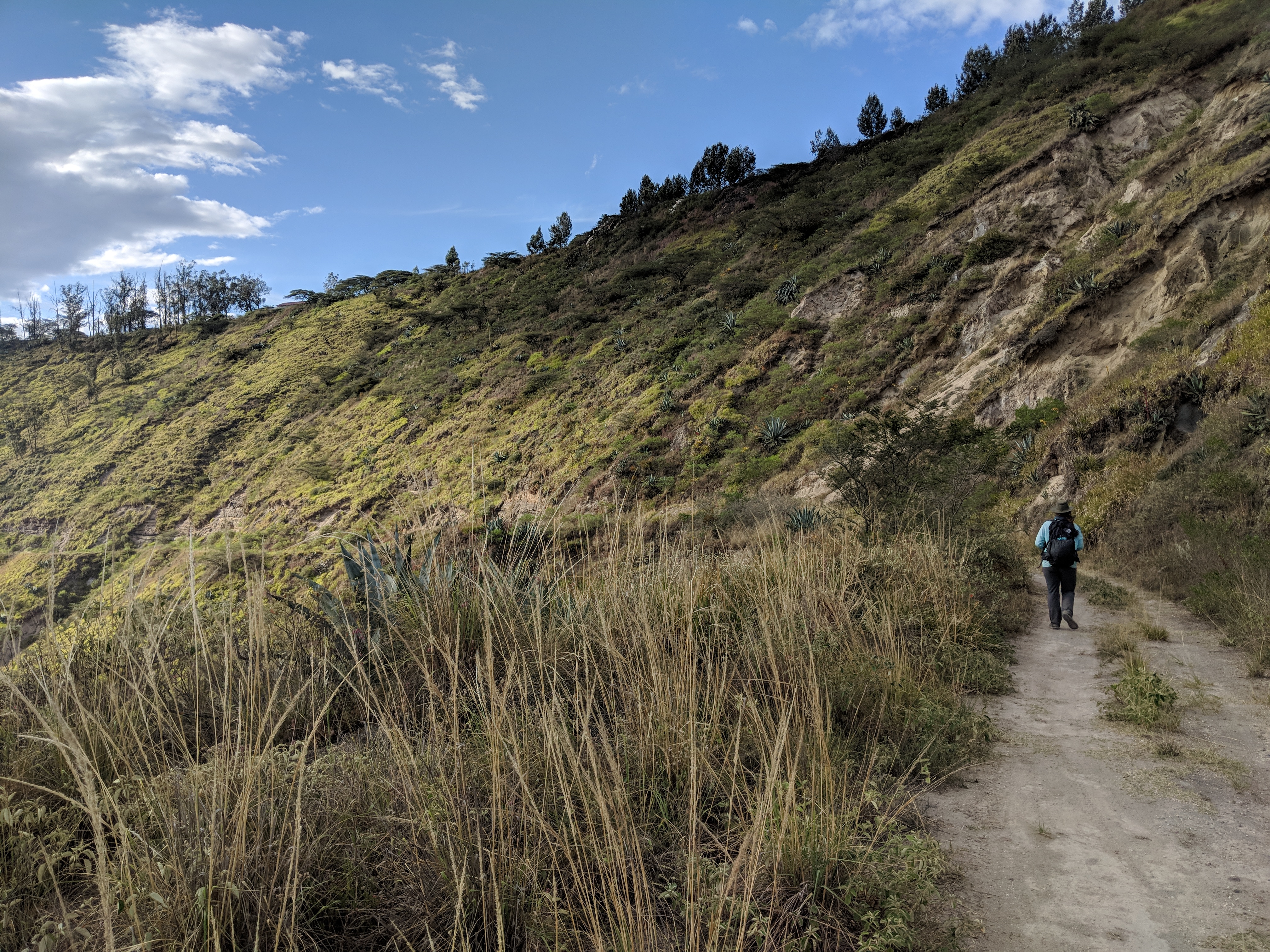
We walked through the rest of the Quito valley the next day, mostly on an abandoned railroad. The gradient and lack of traffic was a great respite from the previous day and we were able to let our minds wander as our feet did the same. I was so grateful for the bikepackers who had come before us to find this route and share it.
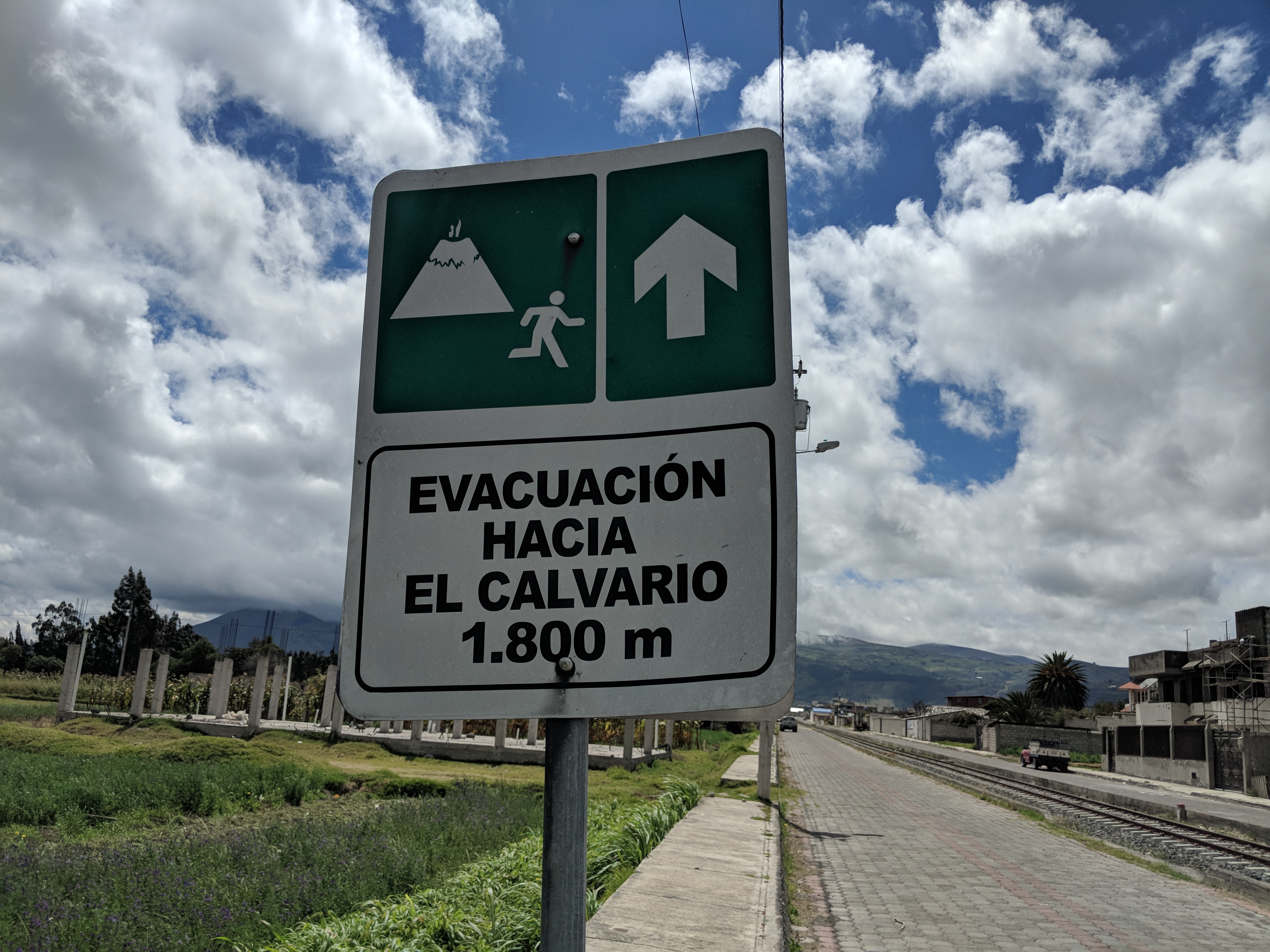
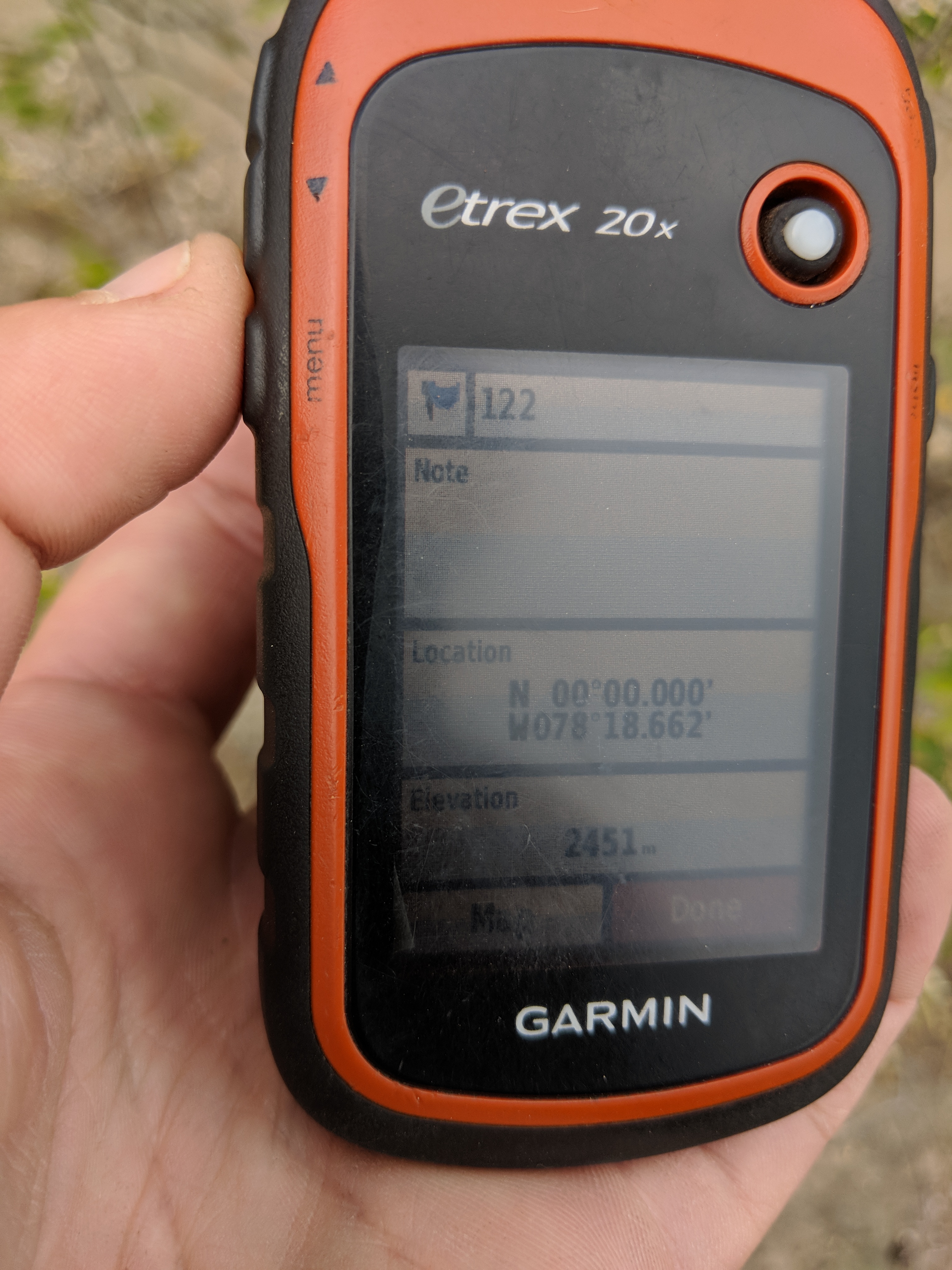
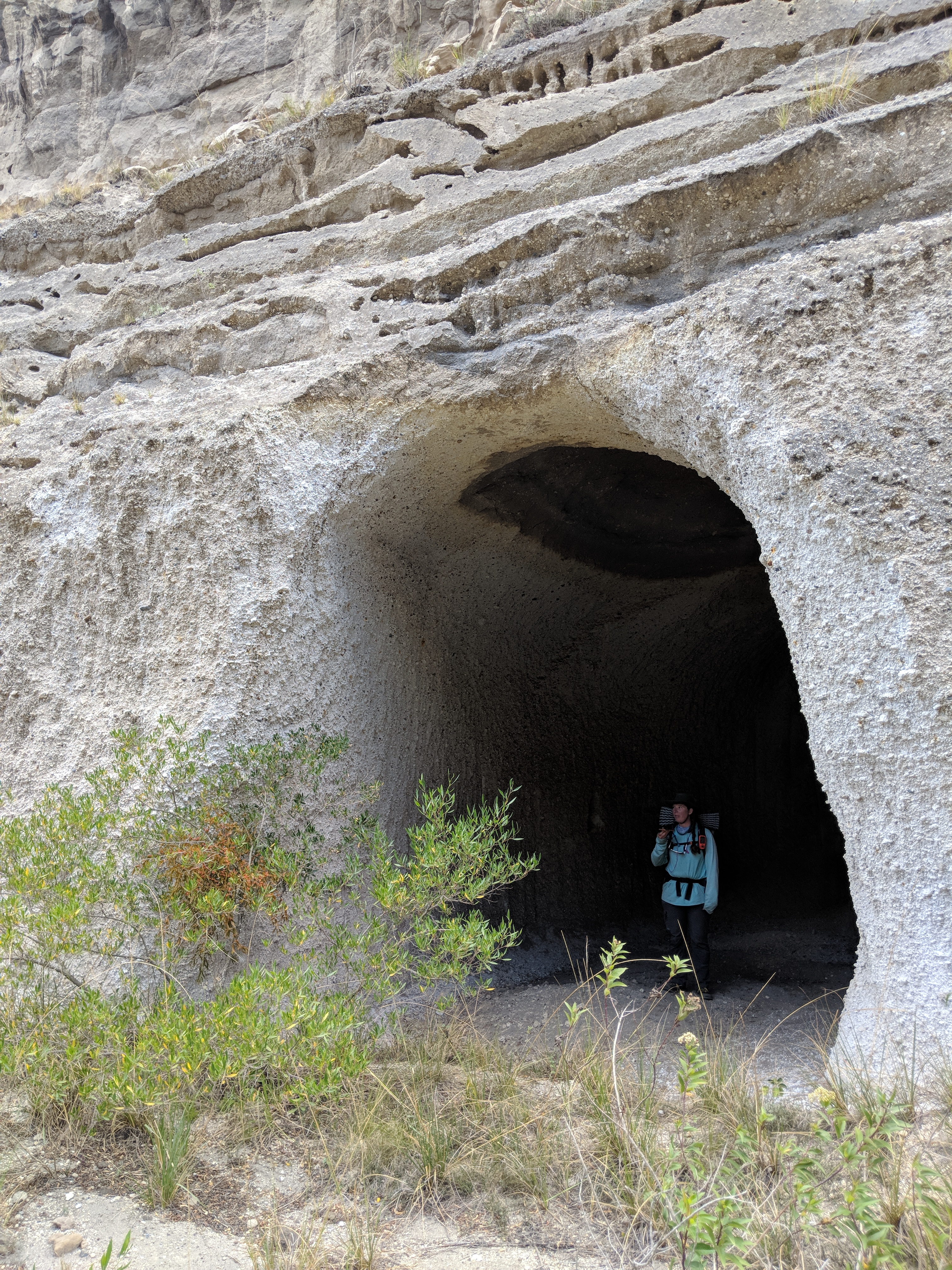
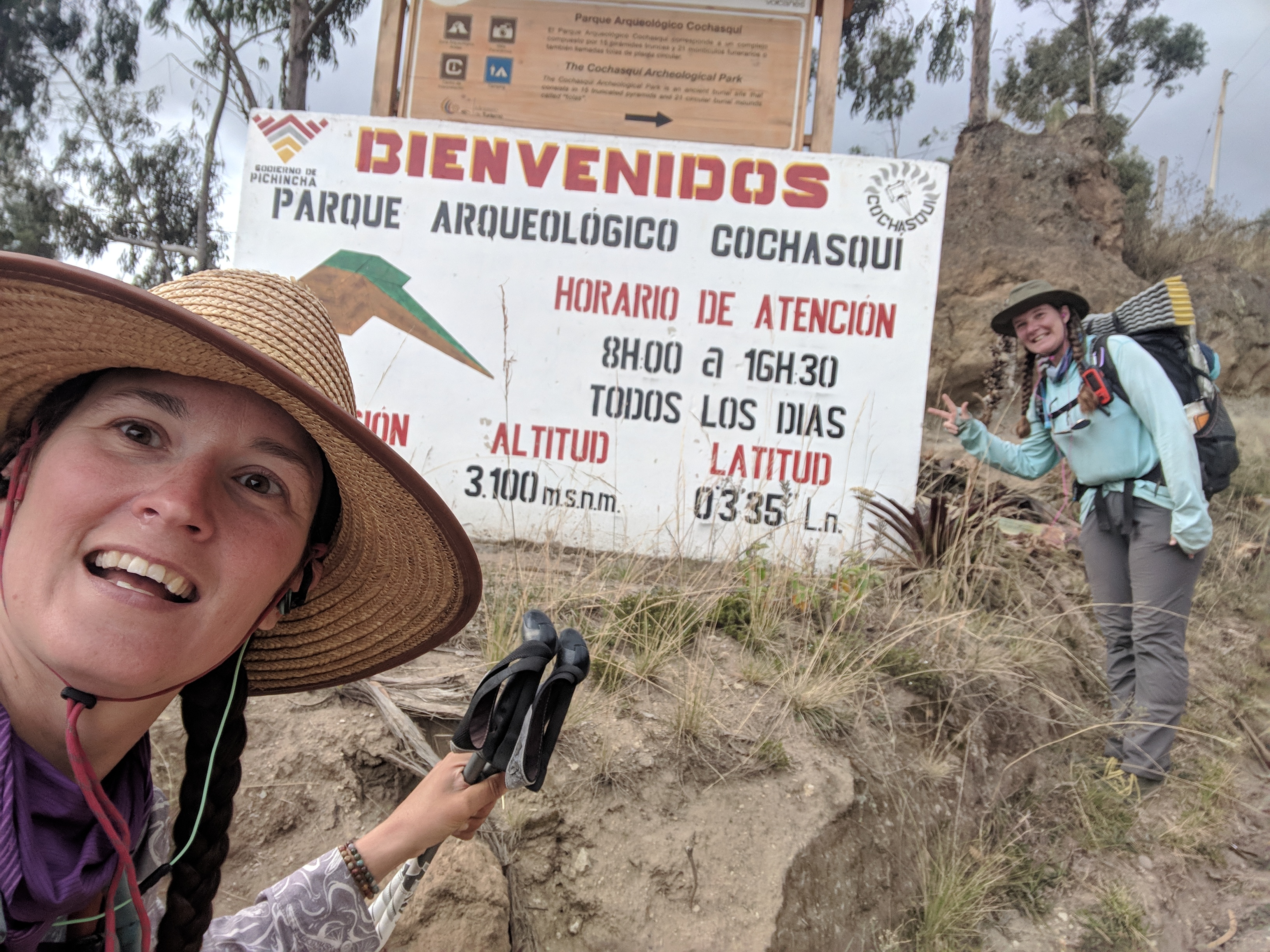
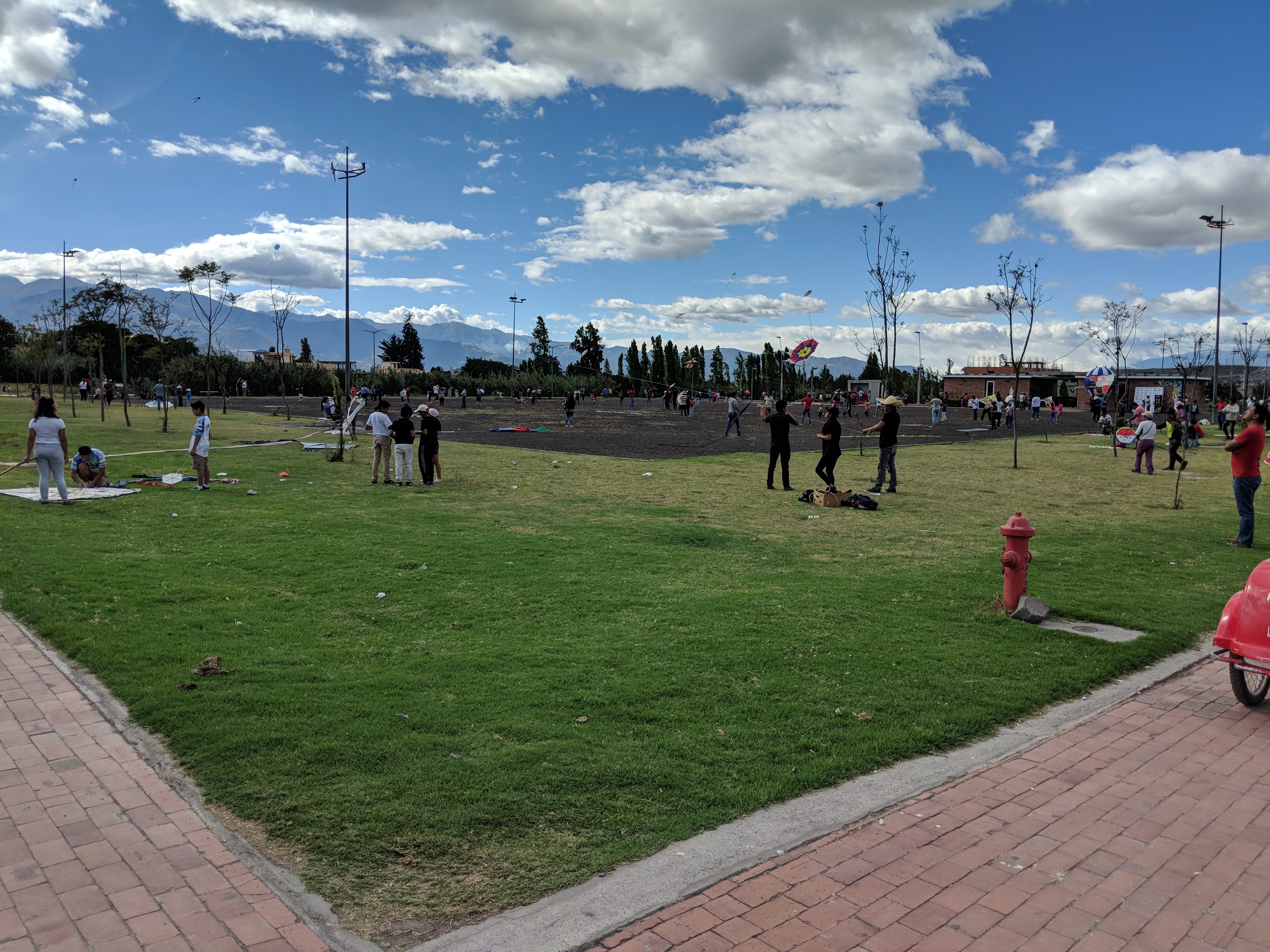
At the north end of the Quito valley, Fidgit and I had to follow the highway for a bit, though were able to turn off on a dirt road near the equator. We then crossed the equator, which was a mix of emotions for me: excitement to be in the northern hemisphere and counting up when we crossed latitude lines, at the same time sad to be getting further away from dear friends in the southern hemisphere. The emotions continued to mingle as we ascended to the Cochasqui ruins, and settled into the campground nearby.
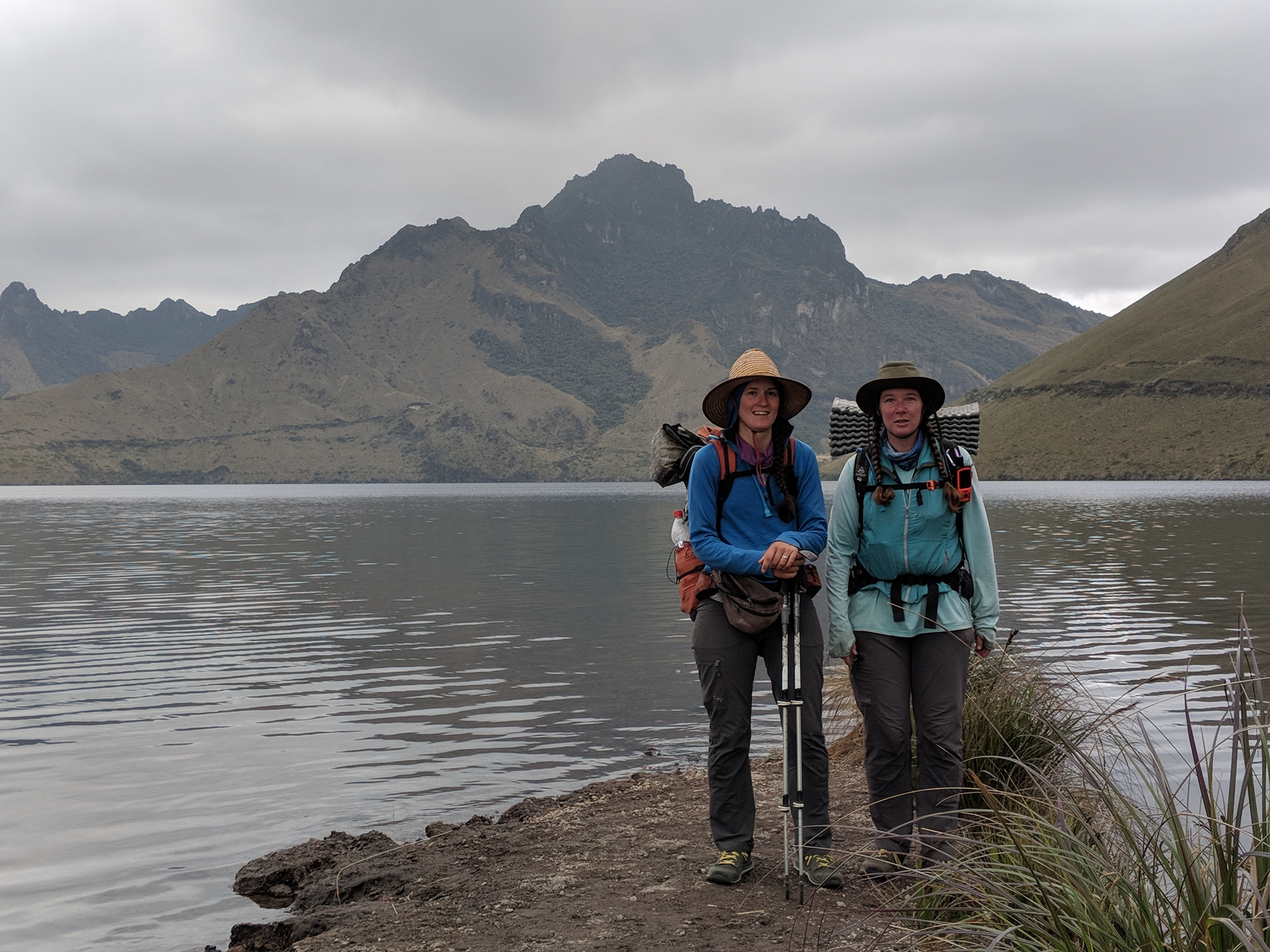
Fidgit and I continued our ascent the next morning, arriving at the highest point just after lunch and descending past a few large lakes. The route was ours alone until Laguna de Mojanda, a high-altitude lake along the edge of the old volcano we’d been walking across. From the Laguna, we continued our descent and found a trail that had all kinds of tracks on it- bike, foot, horse, cow, etc. It was steep though beautiful and took us to the edge of Otavalo. Fidgit and I then found our way into the small city for the night, sleeping soundly after such an exciting couple days.
The next morning, Fidgit slept in while I got some work done, then we headed off toward Ibarra. Otavalo sits at one end of the valley, and Ibarra is at the other end, so the walking was uneventful. We planned to take some time in Ibarra to get more work done and prepare for our time in Colombia, reserving an AirBnB to stay at for the week. We made our way through Ibarra to meet Jose at the AirBnB and get settled in.

Comments (2)
Great progress. Love your reports and pictures.
Thank you!