Written by Neon
Haz clic aquí para leer en español
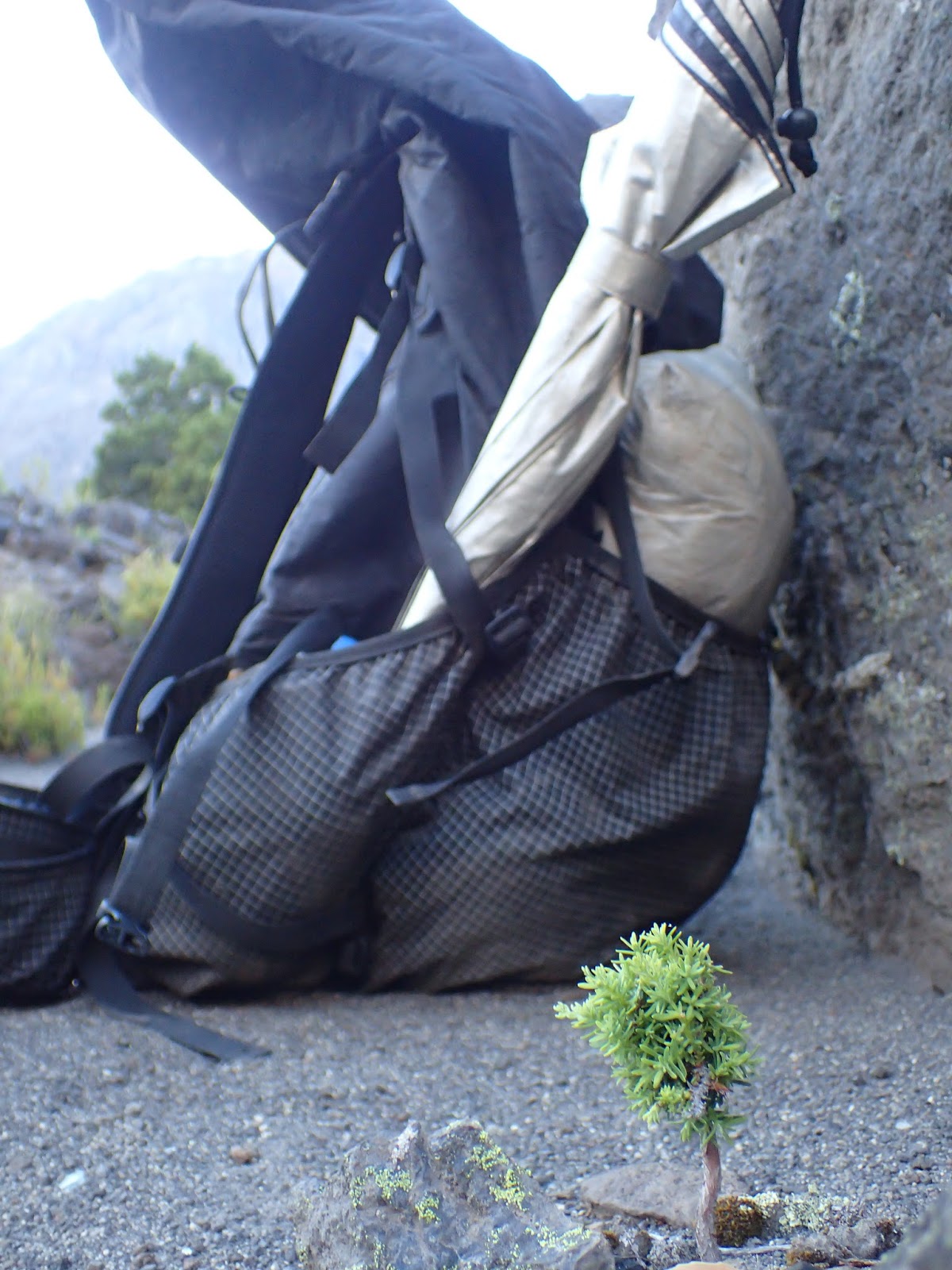
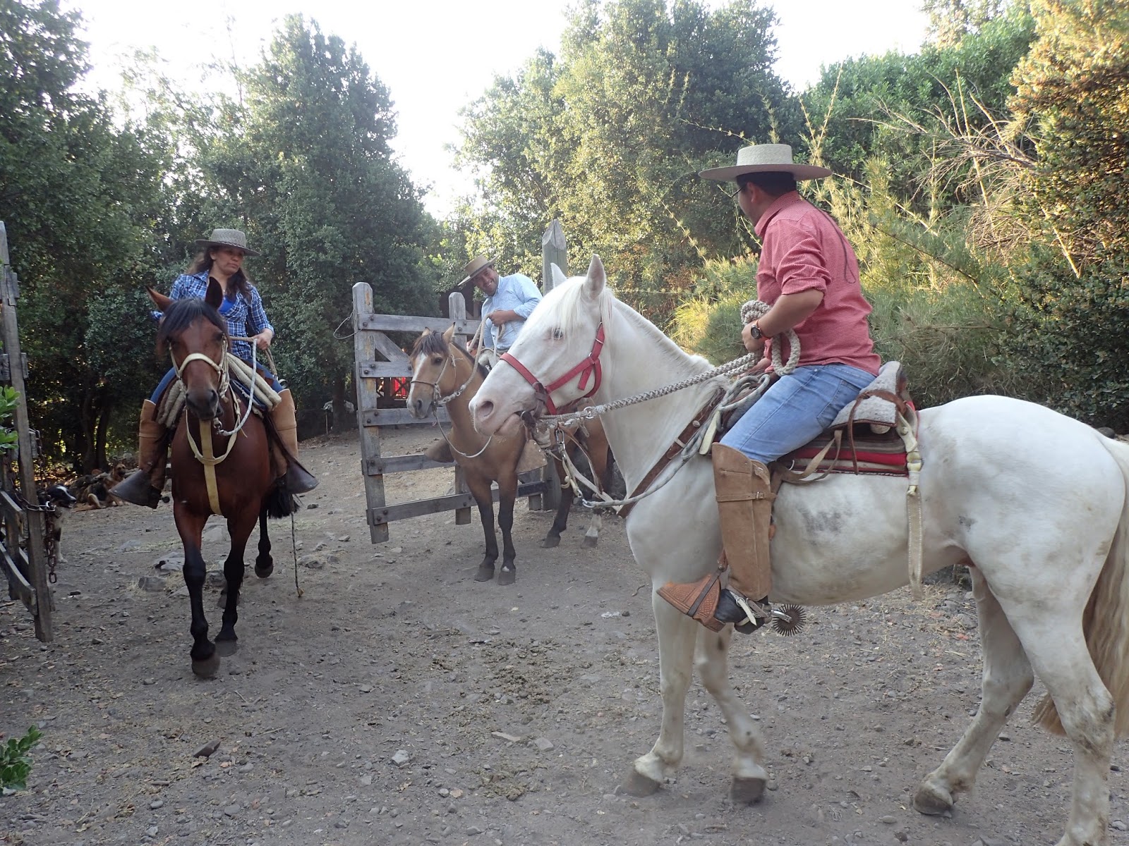
We had already gotten permission (via Fidgit emailing them during work hours) from Hydro Station Cipreses to go through their property on the northern side of Ruta 115, so we were able to get past the guard station at the gate without much issue. We filled out their required form saying if we die it’s not their fault and that we won’t hurt their flora and fauna, and we were on our way! The temperatures weren’t getting any cooler, so we had waited until later in the day to begin and enjoyed walking in the shade of the trees planted along the road out to where we would start our long climb up to Paso Hornitos.
My first view of Laguna Hornitos! I was so glad to get to water water after that climb.
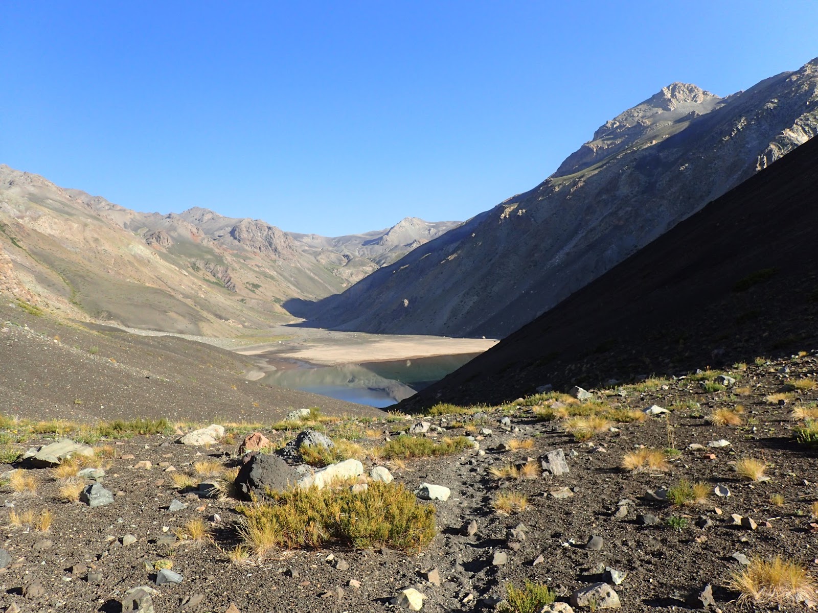
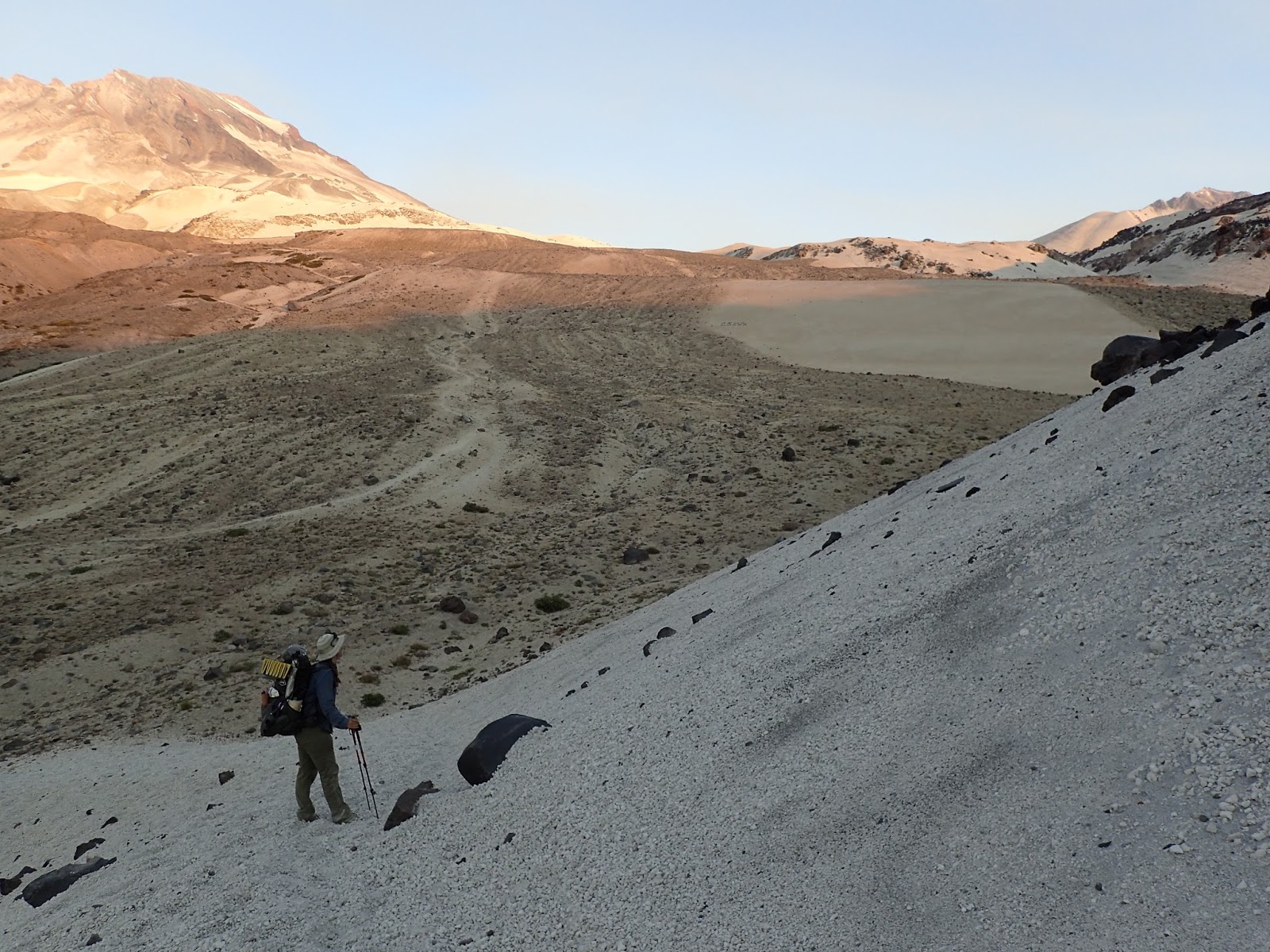
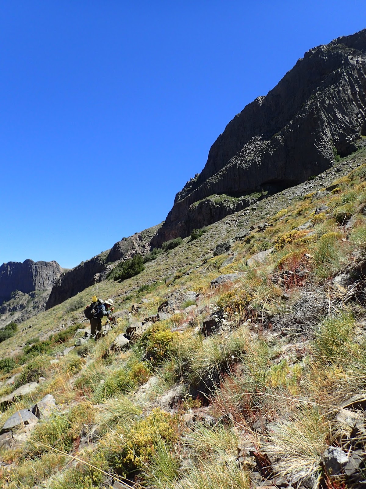
We began our ascent early to make it to the laguna and be able to refill on water before heading the rest of the way up to 2040m in elevation. The trail was visible to the laguna, though there was little shade. After enjoying the shade of a rock and water at the lake, we walked on, finding the trail and following it up the narrowing valley. As we neared the top, the trail dissipated and the ash we had been walking on became looser.
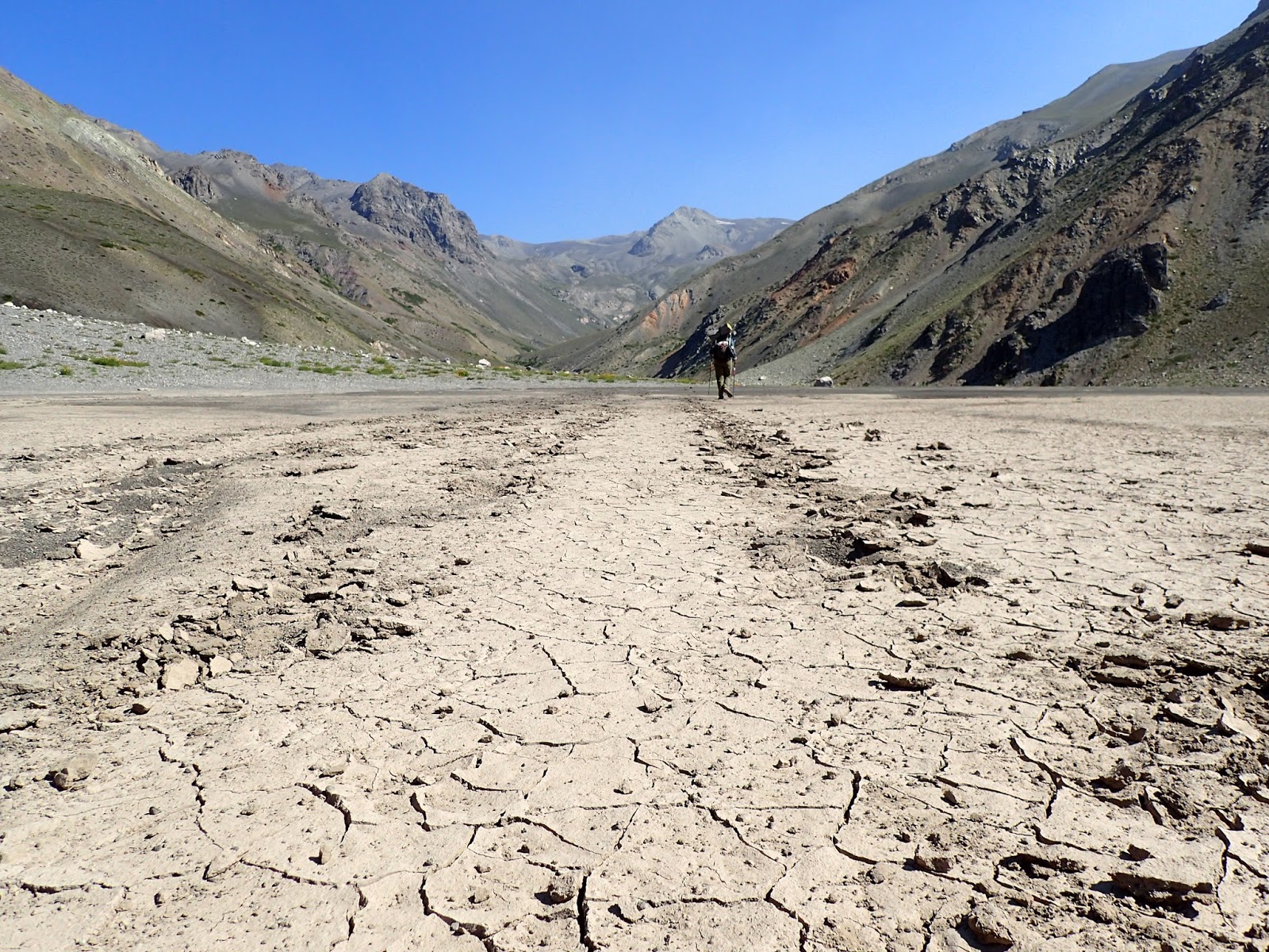
Up and up we went, wondering when we would arrive at the pass. We ate lunch at a small stream and continued up, arriving to the pass in the afternoon, nine hours after leaving camp. We looked out in awe, as the next couple days of hiking were laid out in front of us- black ash turned to white, open, exposed valleys unfurling as far as my eyes could see. We left the pass and shoe-slid down the ash to the valley floor near Laguna Caracol, walked around it, and made our way to some marked hot springs. Trail was easy to follow again and there wasn’t much elevation change, so we made it to the springs as the sun was setting, only to find out they were more like tepid springs, not hot. We made camp and I fell asleep quickly from such an exhausting day.
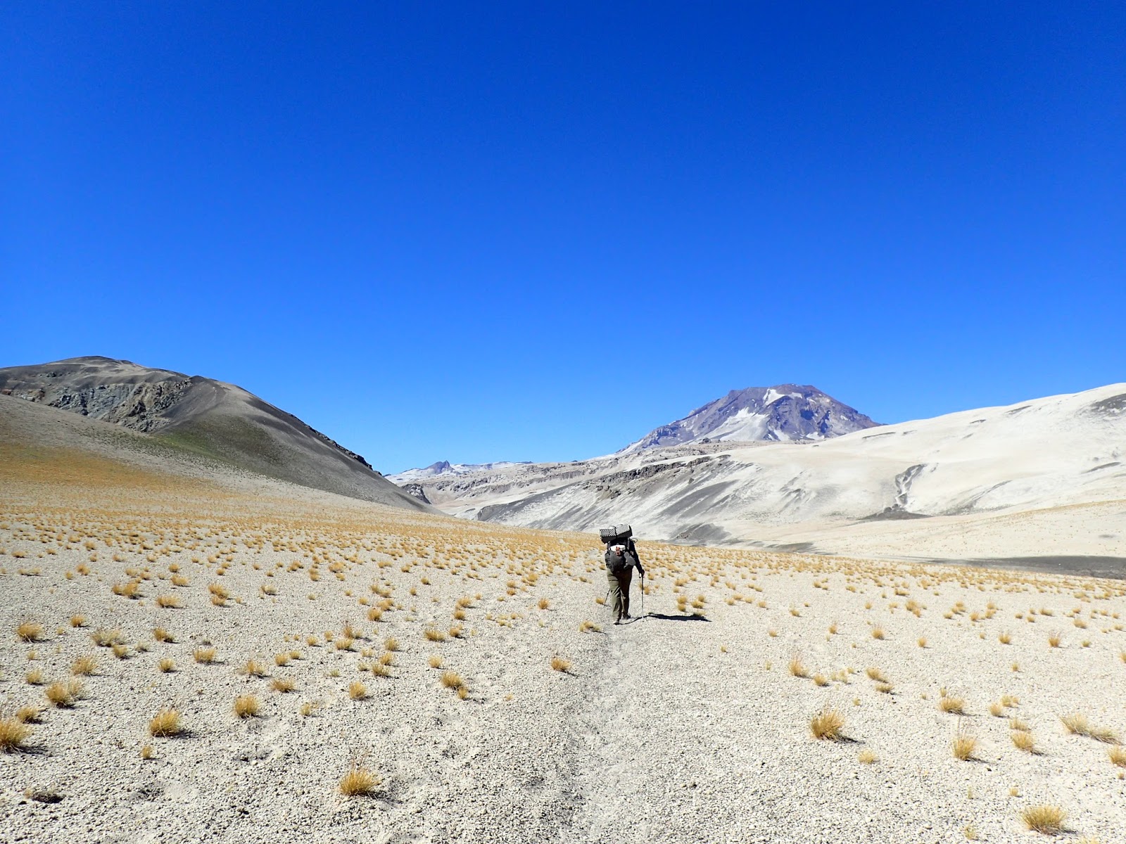
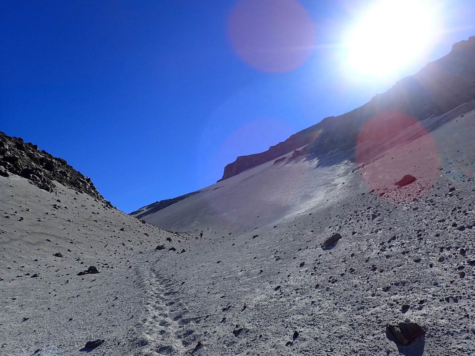
The next day, we made our way across what looked like another planet, minus the few flower-speckled streams we crossed. The ash turned definitively white, the rocks were sparse and the shade was non-existent. We walked across and then up the valley, and up across another pass. Walking was tough because of the cat-litter consistency of what we were walking across, so I was glad when we could go downhill; it was much faster to slide down than up. Following the next valley down, we ended up at another hot springs. This time we could smell the sulfur as we approached and saw some sulfur steam vents across the river. Much to Fidgit’s delight, these hot springs were actually hot, and she spent the evening soaking and smiling. I enjoyed them for a bit, and then sauntered off to bed, tired from adding-up days of sun exposure.
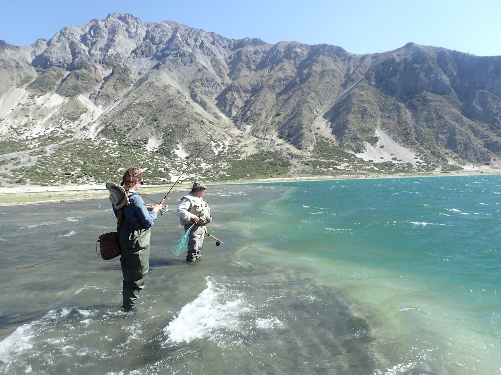
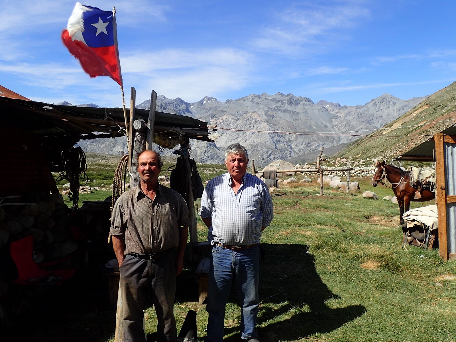
We left the hot springs the next morning, immediately climbing up and around an escarpment to then descend steeply into the river valley. Walking along the river valley, we came upon our ‘official’ turn- we were leaving Section One of the Greater Patagonia Trail and beginning a northern extension investigation that Jan (the creator of the GPT) had routed out and would take us into Santiago. We started along the investigatory route and were soon being questioned by some caretakers of a property. After they showed us around and taught us how to fish, we were eventually allowed to pass through. We walked up and across the valley, coming upon a puesto and a group of men. They were kind and gracious. One of them had even ridden the route we were hoping to do and was able to give us information on what he remembered. The boss of the group, a rich man out who owned the property, shared many stories and his food with us. We left late in the day after it had cooled off a bit, walking up the valley and over a ridge to Rio Los Patos, where we set up camp.
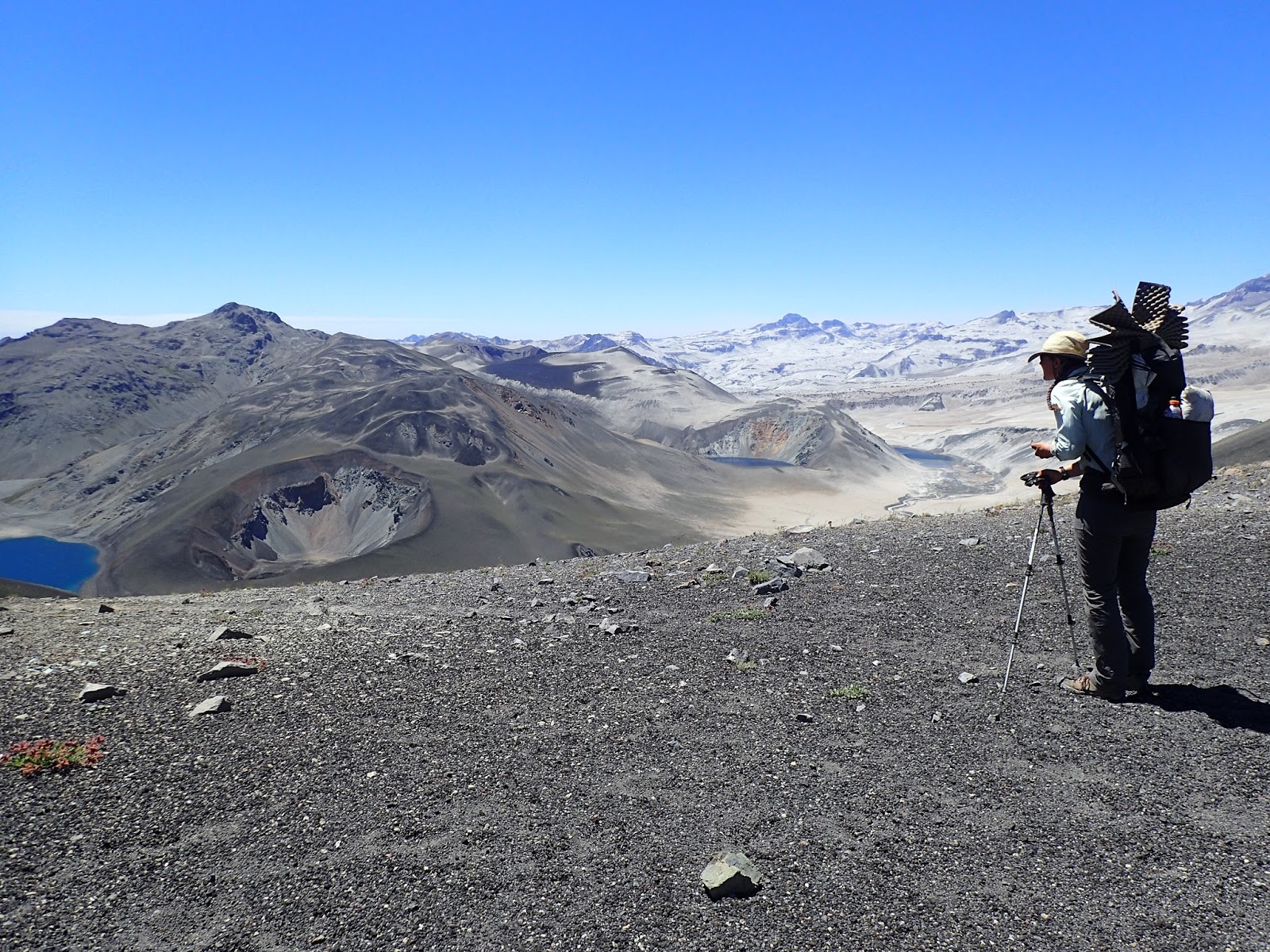
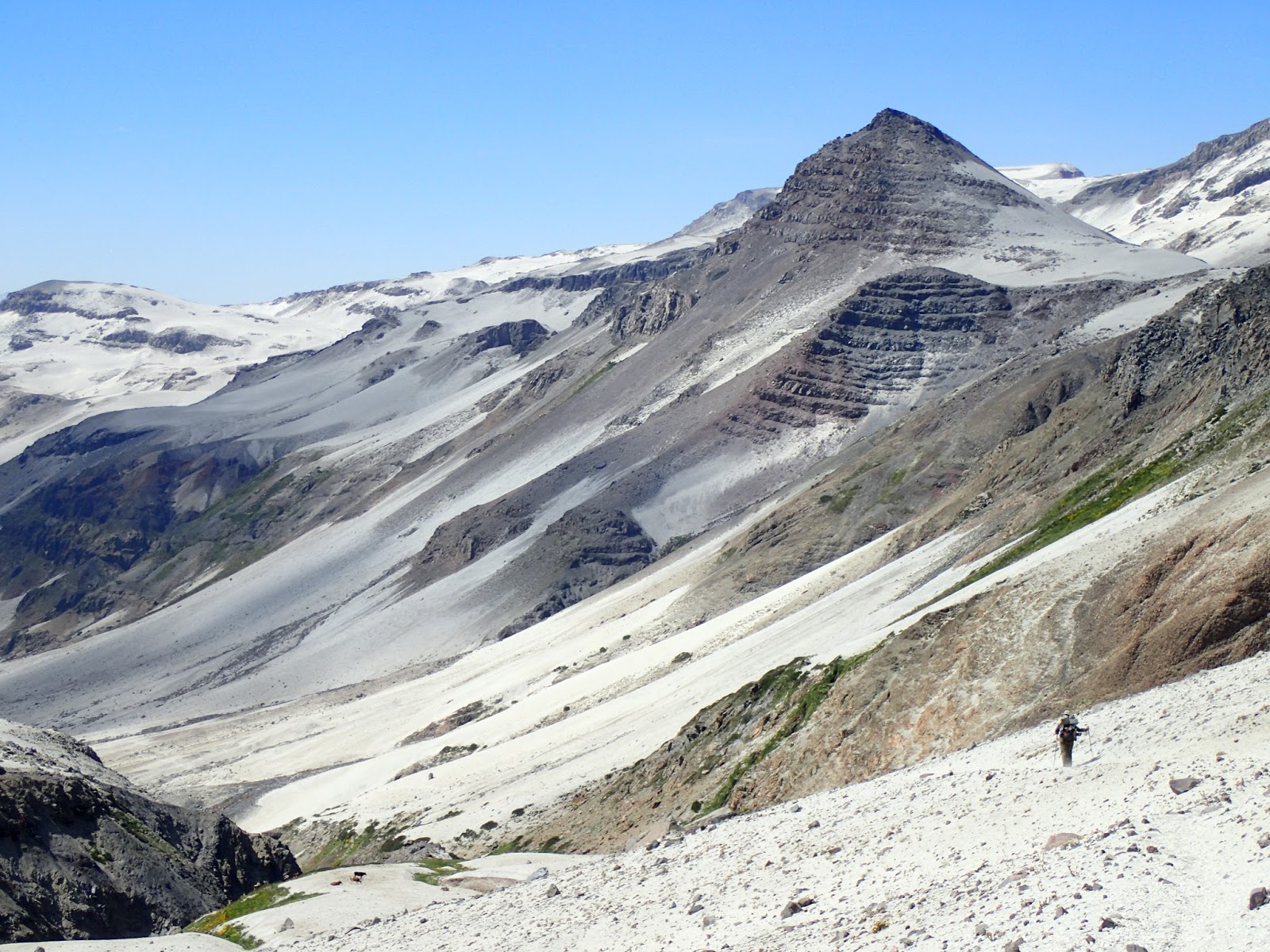
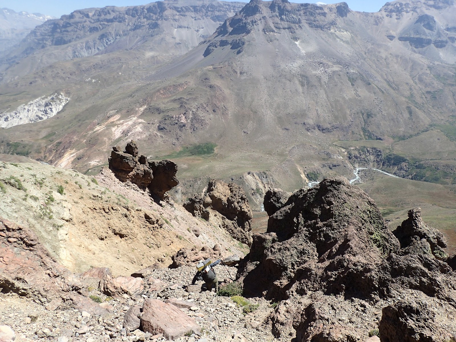
In the morning, we hiked up to a large laguna and it became decision time. Jan had created three route options choose from that may take us down into the valley of Rio Colorado. We had been debating which and after researching, we went with the one labeled ‘difficulty?’ because it seemed do-able and more direct. We were able to follow a valley for most of the way, and then the end of said valley dropped off and our route became more of a down climb for about an hour. We alternated walking/scooting down a steep drainage covered in loose rocks a variety of sizes. When we made it down to the valley floor again, I marked on our GPS ‘Impassable southbound’.
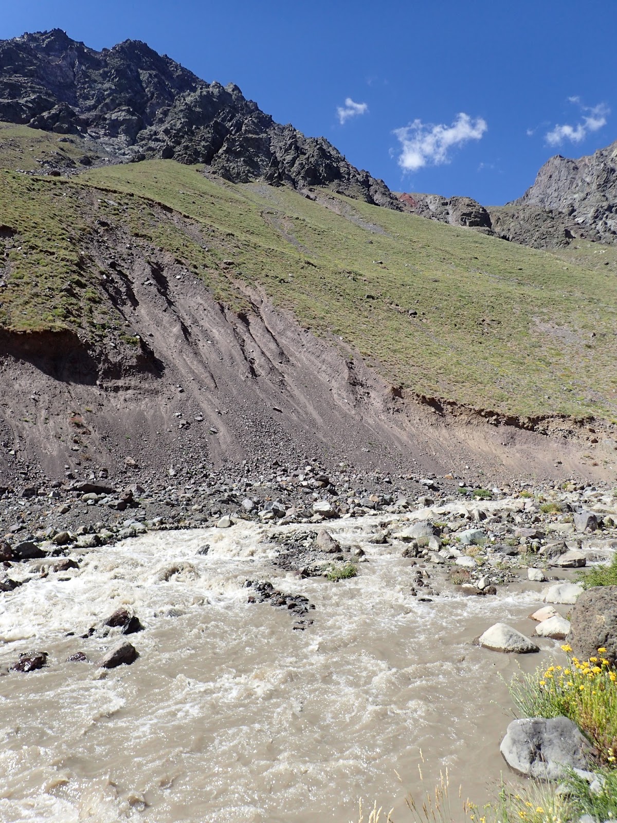
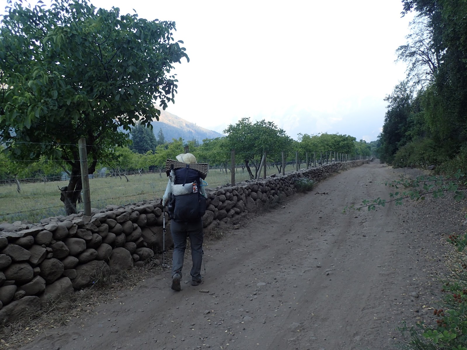
We then made our way to the river crossing marked along Rio Colorado. Looking out at the whitewater upstream and downstream, I was glad that Jan had marked it. I watched Fidgit struggle to cross the belly-button-deep rushing waters with baited breath. She made it! My turn. I stepped into the frigid waters and immediately knew this is not a river to be messed with. Facing upstream, I made sure each of my poles and a foot were firmly in place before inching my other foot deeper and deeper into the current. I had made it into the center of the strongest flow after a few minutes, and that’s where my feet began to slip from the strength of the water. I desperately tried to feel a solid foot placement along the bottom of the river bed to no avail, and nearly fell face-first into the waters, soaking the front of my shirt. In a last ditch effort, I put all my effort into forcing my body towards a nearby rock, knowing if I could get downstream of it, it would block the strength of the river. I somehow propelled myself that way, and made it! After I recovered my footing, I was able to cross the rest of the river with minimal incident, and we lunched on the bank, allowing time for clothing to dry and us to catch our breath. After a morning like that, I was grateful that the rest of the day was uneventful. We were able to follow an animal path along the river to a campsite where we both fell into an exhausted sleep.
The next morning, we followed the path along the river for a few kilometers before heading straight up the north side of the valley at a place called ‘Cuesta las Hormigas’ We spent the morning going up a steep drainage, gaining 1,000m in elevation and spent the afternoon continuing up a valley, crossing Rio Negro, (not as deep though just as strong as Rio Colorado- crossed with minimal incidents) and continuing up another 800 meters or so to a dry camp. According to our DeLorme InReach that night, we were 4.1km “as the condor flies” from the previous nights’ camp. We had, however, gained about 2,000 meters in elevation, plus whatever we did going down to Rio Negro and coming back up.
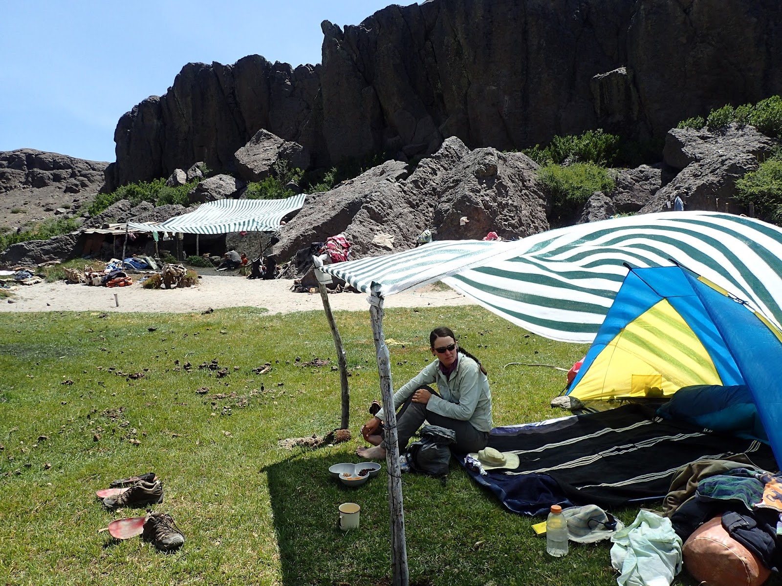
In the morning, we went up and crossed into another valley, following a narrow animal path to Rio Barroso. Crossing that river was the easiest yet, and we were able to find and follow a solid animal-turning-to-more-worn path up and then down again over a pass and down to Puesto Vacas Gordas. We shared some shade and a late lunch with the two caretakers there. They shared their information of the area, as well as information about the forest fires along the coast that had been burning for a few weeks. We were starting to notice an increasing amount of smoke in the air as we walked, so we wanted to make sure the fires were staying west of Ruta 5. Thanking the Arrieros for the information and shade, we walked down to the beginning of a dirt track. We found camp, ready to be in town after this long stretch between resupplies.
Walking the road into Las Quenes and its valley, the smoke thickened and the fires were all over the news channels in town, so we got some more information. It seemed as though we were safe to continue along north. Spending an evening in town, we were able to get all our chores done (other than internet-dependent ones) and headed out in the morning, determined to get to Santiago.
Ruta 115 hasta Quenes
Escrito por Neon
Traduccion por Henry Tovar
Fidgit camina bajo las tuberías de agua en la tierra Hydro Cipreses.
Ya habíamos obtenido el permiso (vía Fidgit enviándoles por correo electrónico durante horas de trabajo) de la Estación de Hydro Cipreses para ir a través de su propiedad en el lado norte de Ruta 115, así que pudimos pasar la guardia en la puerta sin mucho problema. Hemos completado su forma obligatoria diciendo que si morimos no es su culpa y que no va a dañar su flora y fauna, y estábamos en nuestro camino! Las temperatura no se enfriaba, así que habíamos esperado hasta más tarde en el día para comenzar y disfrutamos caminando a la sombra de los árboles plantados a lo largo de la carretera hacia donde comenzamos nuestra larga subida a Paso Hornitos.
Comenzamos nuestra ascensión temprano para llegar a la laguna y poder rellenar en agua antes de dirigir el resto del camino hasta 2040m en elevación. El sendero era visible para la laguna, aunque había poca sombra. Después de disfrutar de la sombra de una roca y agua en el lago, caminamos, encontrando el sendero y siguiéndolo por el estrecho valle. A medida que nos acercábamos a la cima, el sendero se disipaba y la ceniza en la que habíamos caminado se volvió más frágil.
Subimos y subimos, preguntándonos cuándo llegaríamos al paso. Almorzamos en un pequeño arroyo y continuamos subiendo, llegando al paso por la tarde, nueve horas después de dejar el campamento. Miramos con asombro, ya que los próximos dos días de caminata fueron establecidos en frente de nosotros- ceniza negra se volvió a blancos, valles abiertos, expuestos desplegar hasta donde mis ojos podían ver. Dejamos el pase y resbalamos por las cenizas hasta el fondo del valle cerca de Laguna Caracol, caminamos alrededor de él y nos dirigimos a unas aguas termales marcadas. Trail era fácil de seguir de nuevo y no había mucho cambio de elevación, así que llegamos a los manantiales como el sol era entorno, sólo para descubrir que eran más como fuentes tibio, no caliente. Hicimos campamento y me dormí rápidamente de un día tan agotador.
Al día siguiente, nos abrimos camino a través de lo que parecía otro planeta, menos los pocos arroyos salpicados de flores que cruzamos. Las cenizas se volvieron definitivamente blancas, las rocas eran escasas y la sombra era inexistente. Atravesamos el valle y cruzamos otro paso. Caminar era difícil debido a la consistencia de la bandeja de arena que estábamos cruzando, así que me alegré cuando pudimos ir cuesta abajo; Era mucho más rápido deslizarse hacia abajo que hacia arriba. Siguiendo el siguiente valle hacia abajo, terminamos en otras aguas termales. Esta vez pudimos oler el azufre cuando nos acercamos y vimos algunos respiraderos de vapor de azufre cruzando el río. Para el deleite de Fidgit, estas aguas termales eran realmente calientes, y ella pasó la tarde empapando y sonriendo. Disfruté de ellos un poco, y luego se dirigió a la cama, cansado de añadir-up días de exposición al sol.
Dejamos las aguas termales a la mañana siguiente, inmediatamente subir y alrededor de una escarpa para luego descender abruptamente en el valle del río. Caminando a lo largo del valle del río, llegamos a nuestro turno ‘oficial’ – salimos de la Sección Uno del Camino de la Gran Patagonia y comenzamos una investigación de extensión norteña que Jan (el creador de la GPT) había desviado y nos llevaría a Santiago. Comenzamos a lo largo de la ruta de investigación y pronto fuimos interrogadas por algunos cuidadores de una propiedad. Después nos mostraron y enseñaron cómo pescar, hasta que finalmente nos dejaron pasar. Caminamos y cruzamos el valle, llegando a un lugar ya un grupo de hombres. Fueron amables y atentos. Uno de ellos incluso había montado la ruta que esperábamos hacer y fue capaz de darnos información sobre lo que recordaba. El jefe del grupo, un hombre rico que era dueño de la propiedad, compartió muchas historias y su comida con nosotros. Nos fuimos tarde en el día después de que se había enfriado un poco, caminando por el valle y más de una cresta de Río Los Patos, donde establecimos campamento.
Por la mañana, subimos a una gran laguna y se convirtió en tiempo de decisión. Jan había creado tres opciones de ruta elegir de que puede llevarnos hacia abajo en el valle de Río Colorado. Habíamos estado debatiendo qué y después de investigar, fuimos con el etiquetado “dificultad”. Porque parecía factible y más directo. Fuimos capaces de seguir un valle durante la mayor parte del camino, y luego el final de dicho valle dejó y nuestra ruta se convirtió en más de una subida por alrededor de una hora. Alternamos caminar / deslizar abajo de un drenaje escarpado cubierto en rocas flojas una variedad de tamaños. Cuando llegamos a la planta del valle de nuevo, que marcó en nuestro GPS ‘camino intransitable”.
Entonces nos dirigimos a la travesía del río marcada a lo largo de Río Colorado. Mirando hacia el río aguas arriba y aguas abajo, me alegré de que Jan lo marcó. Miré a Fidgit luchando para cruzar las aguas corrientes del ombligo, con respiración atrapada. ¡Ella lo hizo! Mi turno. Entré en las aguas heladas e inmediatamente supe que este no es un río con el que estar enredado. Hacia arriba, me aseguré de que cada uno de mis polos y un pie estaban firmemente en su lugar antes de avanzar mi otro pie más profundo y más profundo en la corriente. Lo había hecho en el centro de la corriente más fuerte después de unos minutos, y ahí es donde mis pies comenzaron a deslizarse de la fuerza del agua. Desesperadamente traté de sentir una sólida colocación de los pies a lo largo del fondo del lecho del río sin éxito, y casi cayó de cara en primer lugar en las aguas, empapando el frente de mi camisa. En un último esfuerzo, puse todo mi esfuerzo en forzar mi cuerpo hacia una roca cercana, sabiendo si podía bajarla, bloquearía la fuerza del río. De alguna manera me impulsé de esa manera, y lo hizo! Después de recobrar el equilibrio, pude cruzar el resto del río con un mínimo de incidentes, y almorzamos en la orilla, dejando tiempo para que la ropa se seque y para que recobremos el aliento. Después de una mañana así, me sentí agradecido de que el resto del día estuviera sin incidentes. Fuimos capaces de seguir un sendero animal a lo largo del río a un camping donde ambos cayó en un sueño agotado.
A la mañana siguiente, seguimos el camino a lo largo del río por unos cuantos kilómetros antes de dirigirnos directamente hacia el lado norte del valle en un lugar llamado ‘Cuesta las Hormigas’ Pasamos la mañana subiendo un drenaje empinado, ganando 1.000 m de elevación y Pasó la tarde continuando por un valle, cruzando Río Negro (no tan profundo, tan fuerte como Río Colorado, cruzado con incidentes mínimos) y continuando otros 800 metros aproximadamente hasta un campamento seco. Según nuestro DeLorme InReach esa noche, estábamos a 4.1km “como el cóndor vuela” del campamento de las noches anteriores. Habíamos, sin embargo, ganado cerca de 2.000 metros en la elevación, más lo que hicimos que va abajo a Río Negro y que vuelve para arriba.
Por la mañana, subimos y cruzamos hacia otro valle, siguiendo un estrecho sendero animal hacia Río Barroso. Cruzar ese río era el más fácil todavía, y pudimos encontrar y seguir un camino sólido que se volvía hacia el camino más desgastado y luego bajamos de nuevo por un pase y bajamos hasta Puesto Vacas Gordas. Compartimos algunas sombra y un almuerzo tarde con los dos cuidadores allí. Ellos compartieron su información de la zona, así como información sobre los incendios forestales a lo largo de la costa que había estado ardiendo durante unas semanas. Estábamos empezando a notar una cantidad cada vez mayor de humo en el aire mientras caminábamos, así que queríamos asegurarnos de que los fuegos estuvieran al oeste de la Ruta 5. Agradeciendo a los Arrieros por la información y la sombra, caminamos hasta el comienzo de una suciedad pista. Encontramos campamento, listo para estar en la ciudad después de este largo tramo entre los reabastecimientos.
Caminando por la carretera hacia Las Quenes y su valle, el humo se espesaba y los incendios estaban por todos los canales de noticias en la ciudad, así que conseguimos más información. Parecía como si estuviéramos seguros para continuar por el norte. Pasar una noche en la ciudad, pudimos conseguir todas nuestras tareas hechas (aparte de internet-dependientes) y salimos en la mañana, decidido a llegar a Santiago.

Comments (2)
I love your journal and photos. Have a great and safe trip.
Thank you! It’s a joy to bring you along.