“Getting there is half the fun/battle/adventure,” they say.
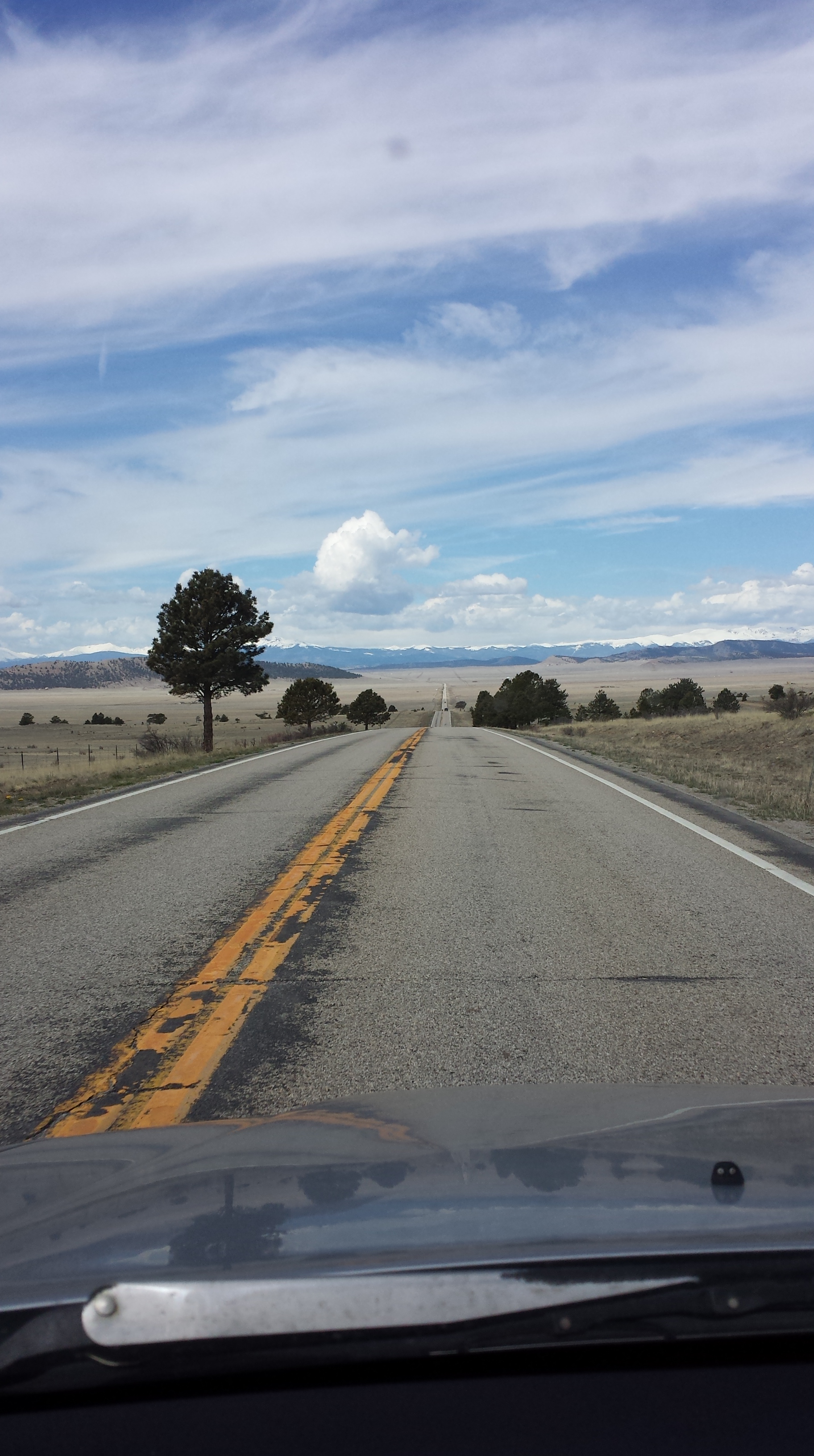
Taking off on Friday morning, this certainly seemed the case. Bursts of rain heading south on Hwy 9. Dry but impending by the time I hit 24. Roads I’ve driven, biked, hitched, and hiked since moving to Colorado four years ago.
Hartsel, CO has my heart. Chris at Badger Basin Country Store has the best maps in Park County and whether pedaling through or finding an obscure trail head, he’s your man.
On the way back through, always stop for a victory malt and burger at the Highline Cafe.
Previous trip reviews mentioned having a hard time finding the trail-head. Since I was coming from the back way:
On 24, east of the pass, CR 77 North onto 211 for about 10 miles, there is now a huge sign indicating Goose Creek TH.
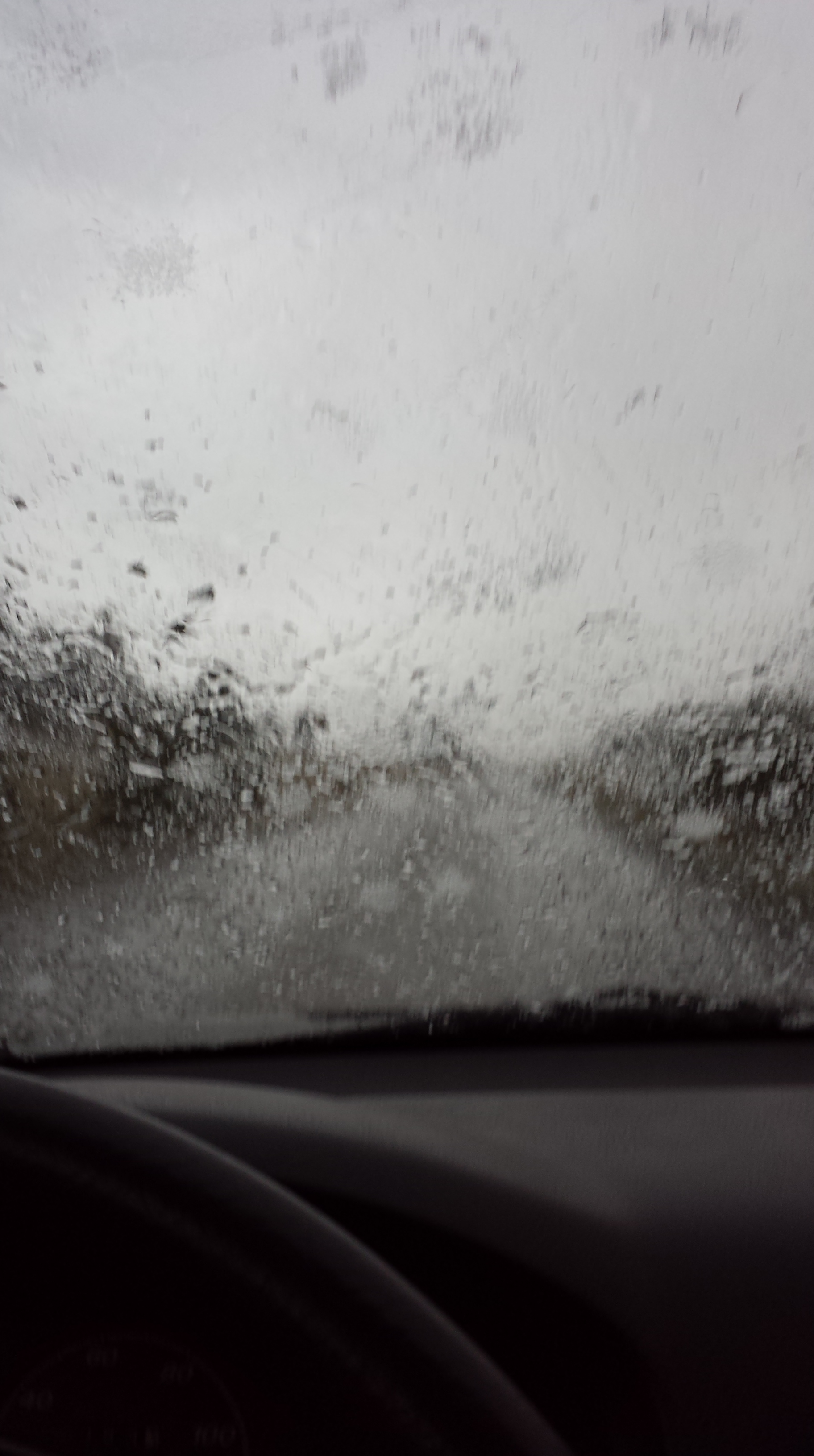
Just as I hit dirt roads, the skies opened up. Thick bolts of lightning struck surrounding hillsides, hair on my arm stood on end. Huge slushy hail splatted the windshield. As the road became saturated it sucked back against 2wd tires. Petrie (Honda CRV) was fishtailing but if we lost momentum, would not be moving again any time soon. I couldn’t slow down nor dared to speed up. Swinging around a few precipitous bends, adrenaline shot to my tongue.
Adrenaline- Nature’s Red Bull.
Pulled into parking just past the trailhead at about 4 pm, right as clouds relented their downpour, instead lurking ominously. A bit unnerved; further so upon realizing I had made it all the way out here without my compass.
Crud.
“Meh, it’s a well known trail in Colorado, how tough can it be?”
Made rain-gear easily accessible and set out into the evening.
The intention had been a counterclockwise loop; up to Hankins Pass, through Lake Park, McCurdy Trail to Goose Creek. Spoiler alert: this is not what happened.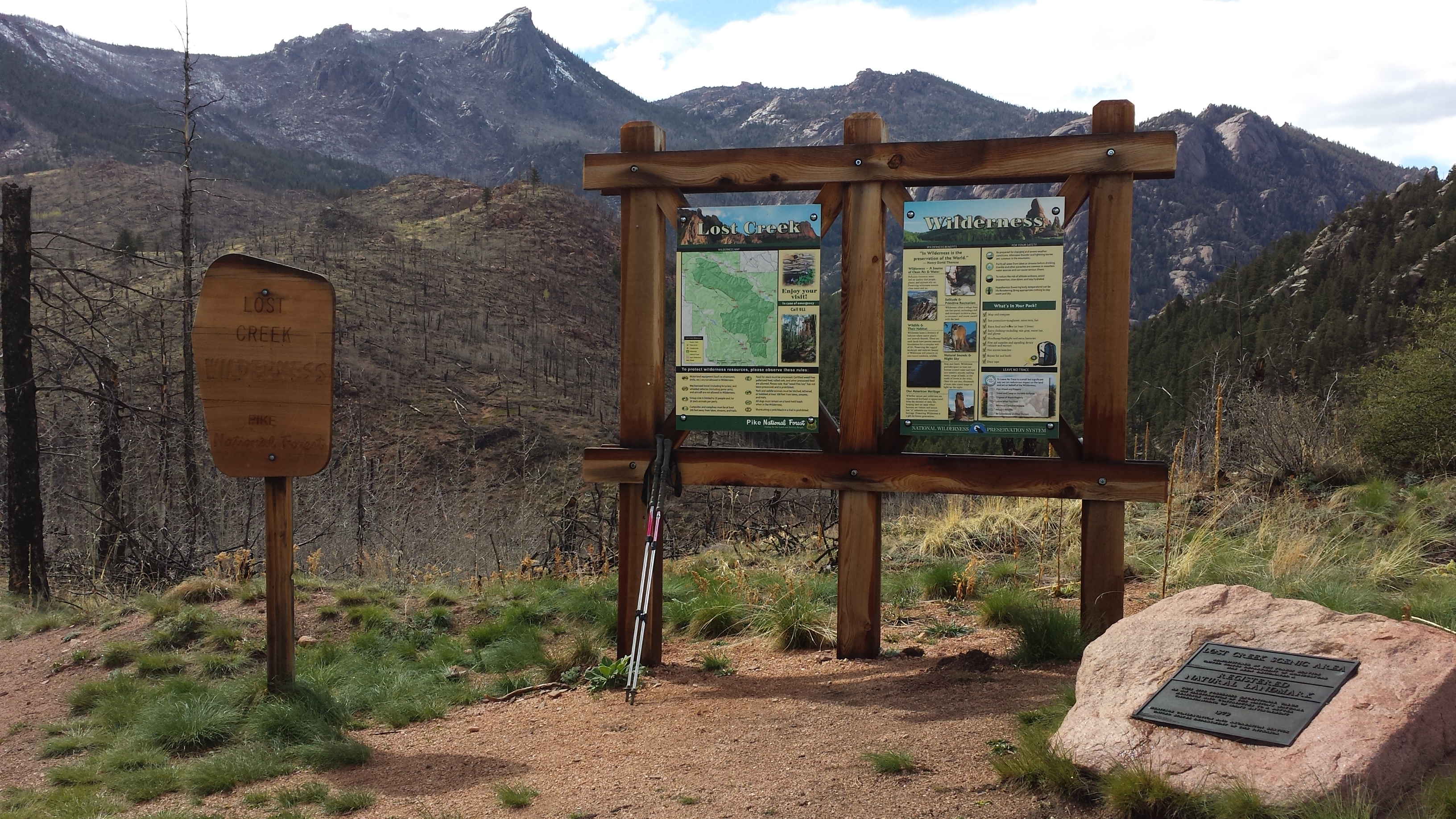
While it means an initial climb, I opted to go counterclockwise so as to enjoy a longer, rambling downhill on the way out. Also, reports were that there was still major blow-down from 2011 to contend with just on the other side of the high point of the trail and I prefer to scramble over trees going downhill, rather than up.
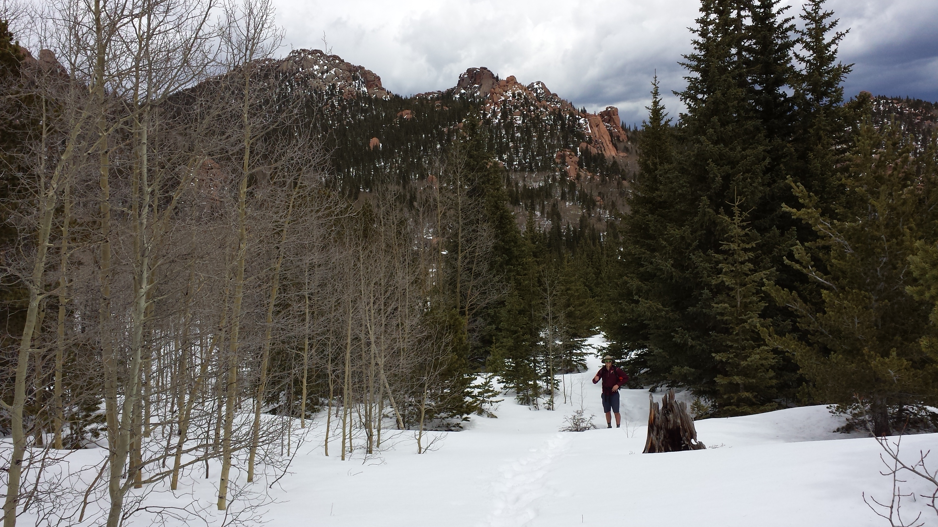
Chose this area b/c I perceived it as being front range and southerly, ergo, less snow.
While it begins at 8215 ft, the trail tops out around somewhere around 11,700 ft. There would be snow.
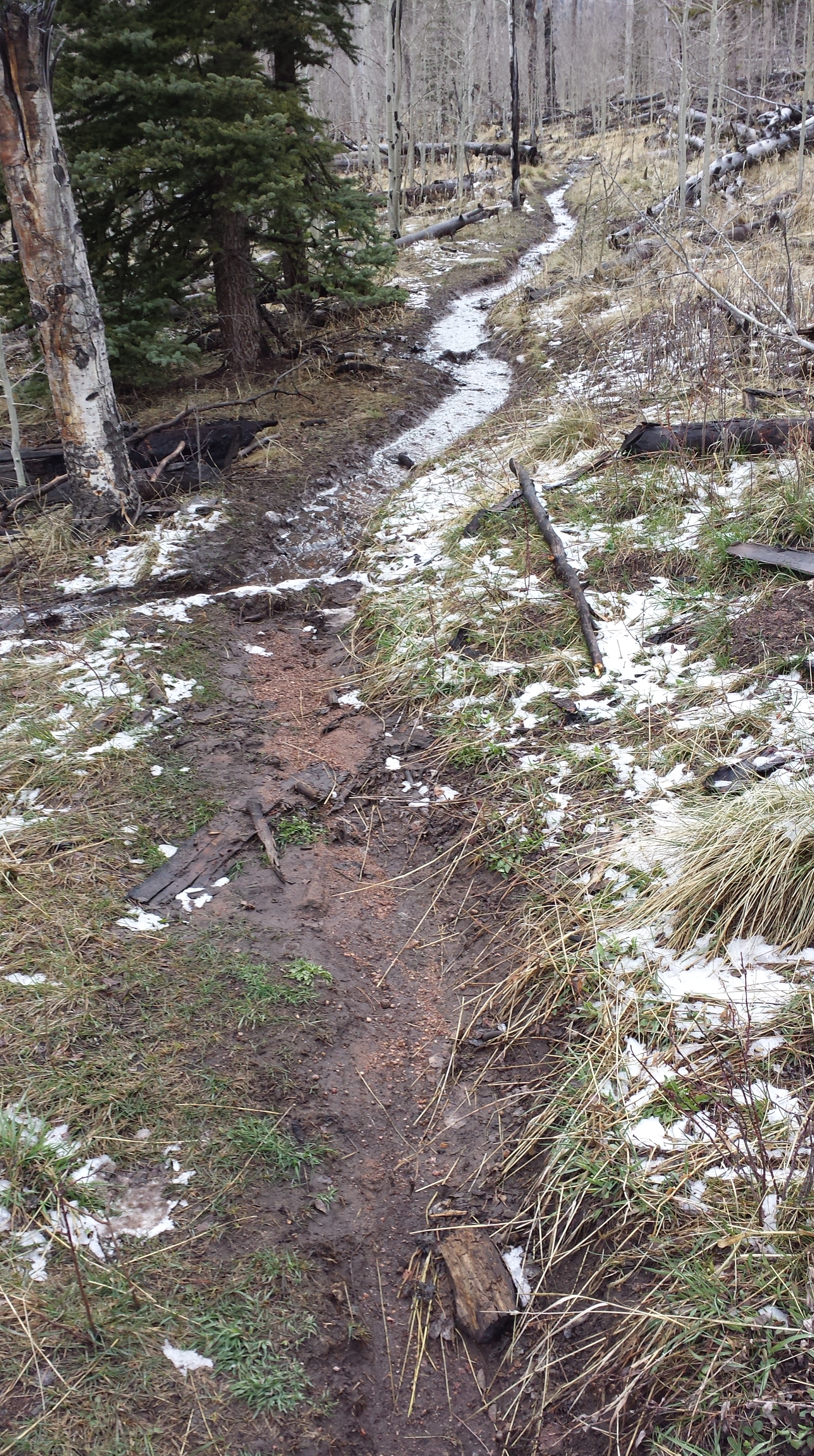
Within the first mile I was encountering patches of snow and wet trails.
No big deal, this is to be expected.
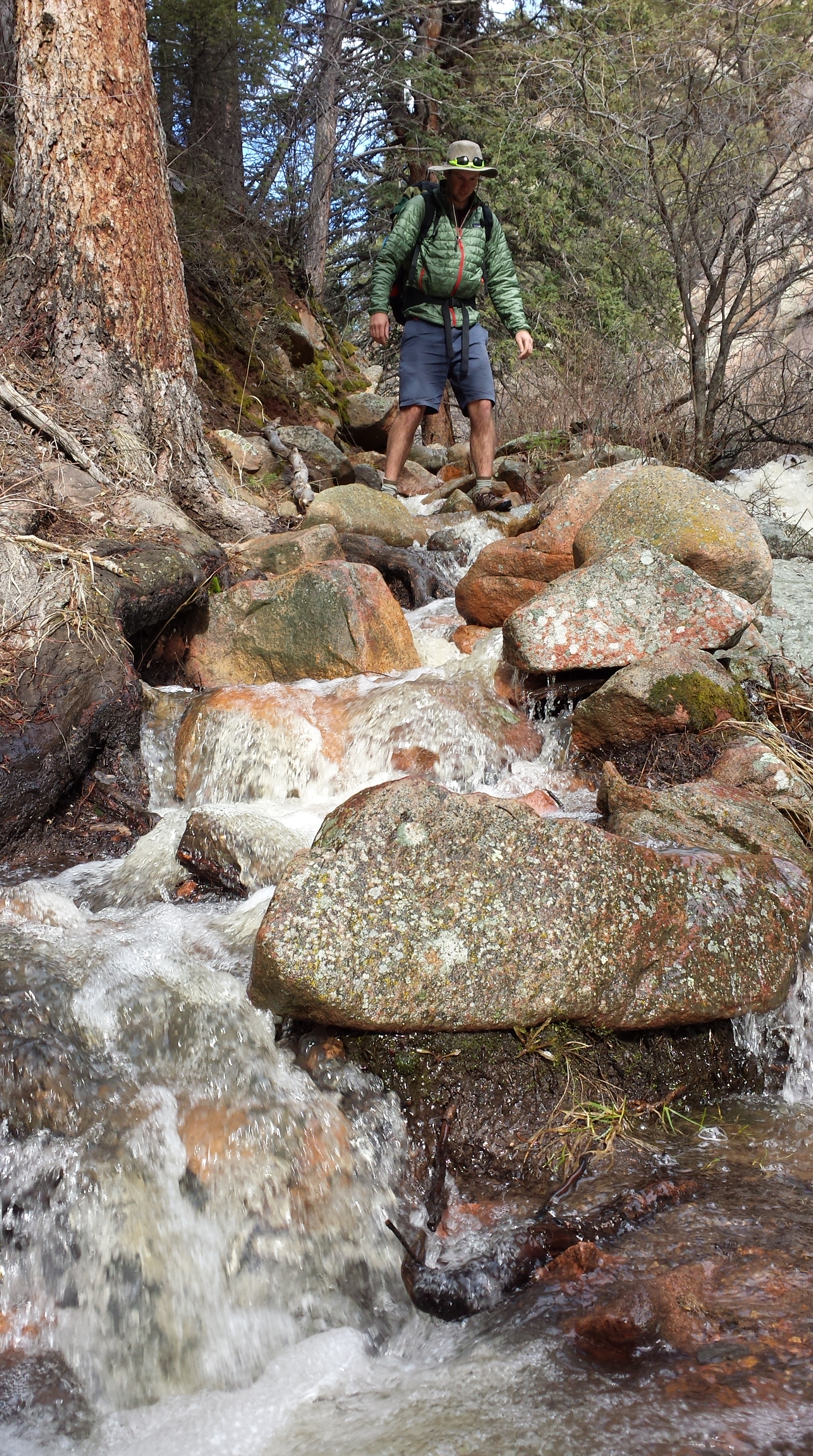
Multiple stream crossings slowed progress as I clung to the fantasy of “dry shoes.”
Some rudimentary efforts at trail maintenance created a few stretches of dry-ish trail but it was quickly becoming apparent this was gonna be a wet one.
Made camp on a dry bar a healthy distance above the stream bed and got really excited about my first night sleeping on a brand spankin new NeoAir XLite. (Cascade Designs folks ROCK!) Slept straight through the night.
Breaking camp the next morning, saw my first human hiking past. He was also all rucked up which gave my compass-less self a bit of assurance.

As the red sedimentary cliffs and rock spires narrowed in, snow obscured the trail and I came to trust ‘Snowshoes’, who had passed probably over a week ago and must’ve had the benefit of GPS. Turns out, there had been other early season travelers on the trail.
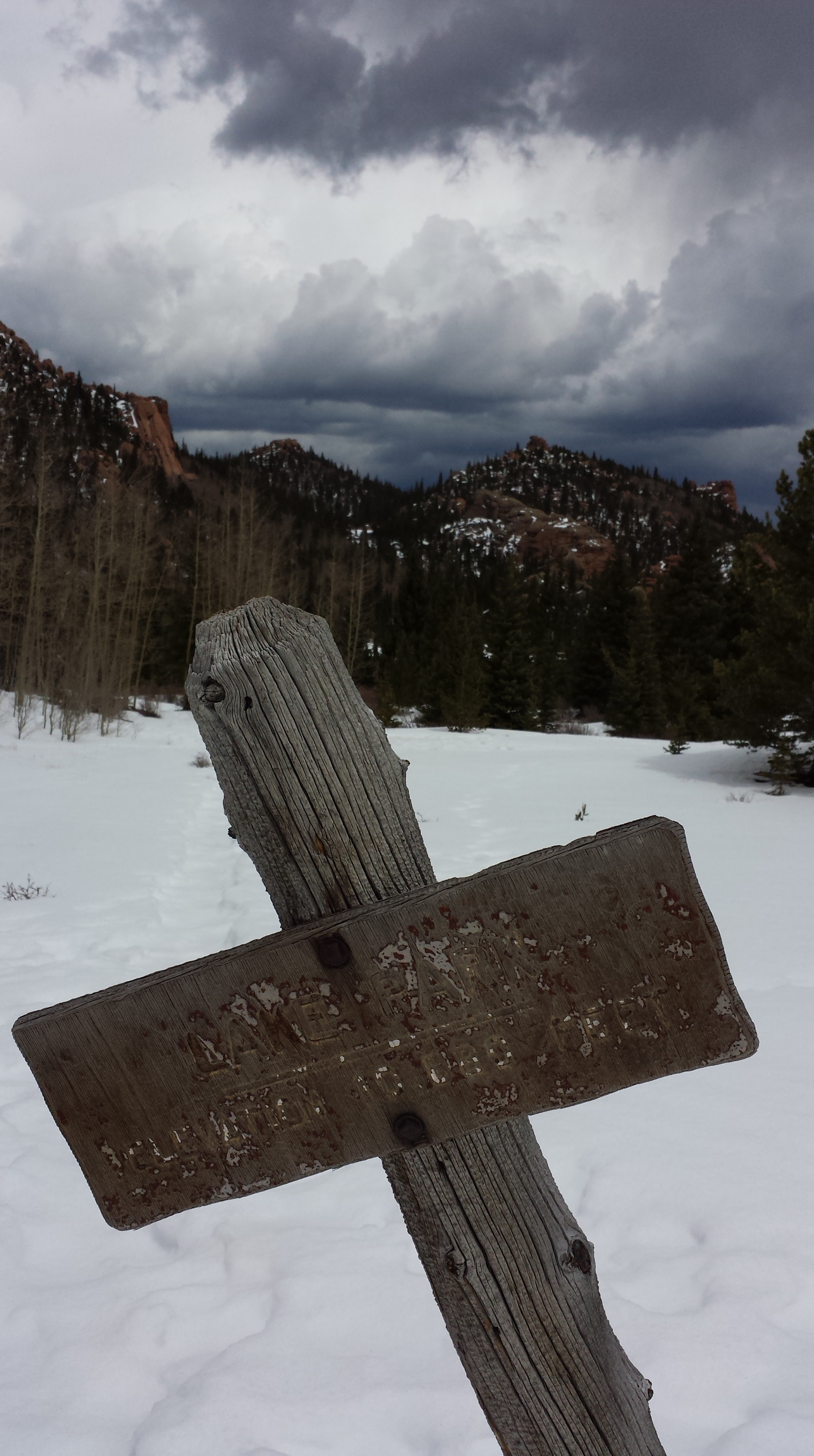
Encountered Bobcat the Denver Light Rail Engineer right about the time the trail began to disappear for long swaths. We ended up bushwhacking up toward Hankins Pass. Missed the junction but found Lake Park Trail and, enjoying the bits of exposed trail, proceeded north.
After all, Ranger Rick had told Bobcat there wasn’t much snow so perhaps now being more exposed going would get easier.
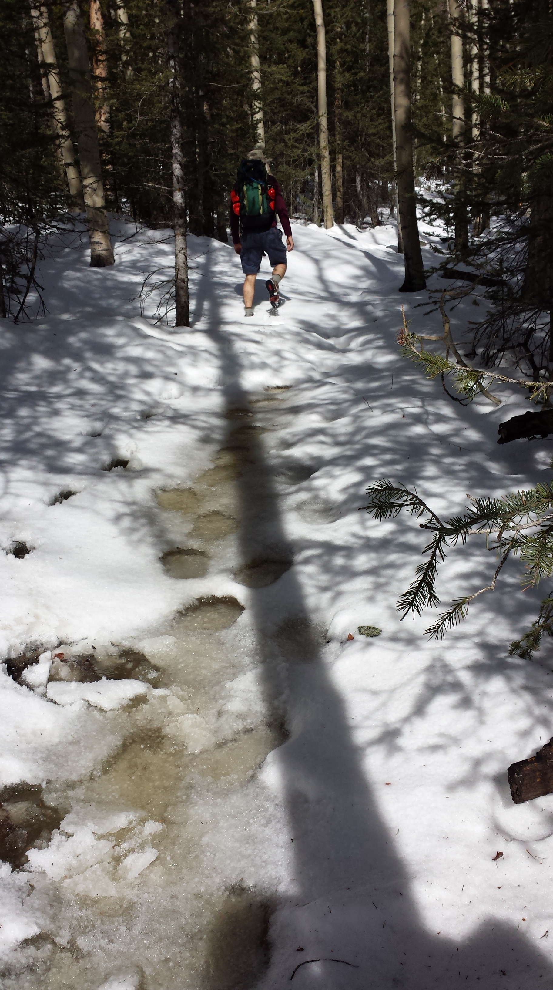
Lake Park was a huge bowl full of snow and slushy ice. There was exactly one sign of trail.
We were postholing regularly past our knees. It was early afternoon, clouds were gathering, Snowshoes had abandoned us (apparently content to camp there), and we had at least another 500 ft to climb. We swung wide, to the lip of the bowl, traversed back along the other side, trying to stay high after sloshing through the icy shrubs along the basin.
By 2pm we were getting tired and between his cellphone gps/compass (NOT reliable for navigation purposes) and my map, suspected we should be in the correct gully to follow up to the top of the climb.
Stopping to eat, we balanced on logs and small bits of rock which stood out from the blanket of snow.
At this point, we had begun to fore-fret not only about route-finding but also about navigating through tree blow down in what would be even deeper snow coming up (as that was on a north aspect).
We ate lunch.
The clouds were threatening now.
A rule of the trail I have learned:
Forget your raingear, it will rain.
Pack your raingear, it may rain.
Preemptively don raingear, it might not rain.
Bobcat had spoken of an idyllic campsite the half way back down the valley. He declared intention to head back down the way we’d come.
The line between determined and foolish is one we must each draw for ourselves on a case by case basis.
I of the compass-less-ness realized it would be foolhardy to press on.
We turned around.
Finding the trail much easier heading downhill, we chatted amicably. The campsite was perched on a large flat amoung big boulders with a built up fire ring and benches. He started a fire and we roasted insoles and socks alongside dinner.
It began to sprinkle right around hiker midnight (8pm) so we tucked in and again, I slept soundly.
The next morning, made quick work of getting back down to the trail head. Gonna chalk this one up to a first venture, early season learning experience and shaking out the kinks.
According to my dental floss map on measurements, we covered about 12 miles out and back.


Comments (2)
Glad you trusted your good judgment on that one!
Pingback: Summer Summary: Thus far | bethanyhughes