Distance: ~25 miles
Difficulty: Moderate
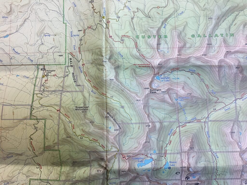
Maps: This route is available on a number of different physical map and digital sets. I was exploring with Gaia this summer and basing off of this physical map.
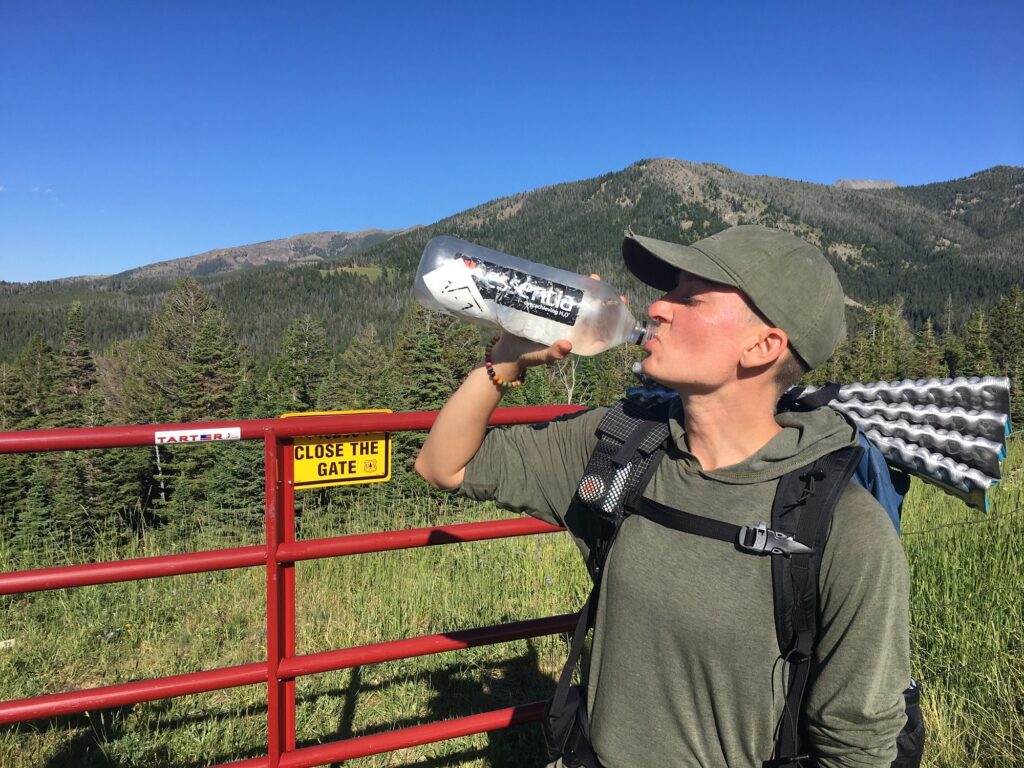
Getting There: We put in at Porcupine Cabin Trailhead in Custer Galatin National Forest in Park County, MT. It is within a couple hours drive of the large cities of Bozeman or Helena, MT. Dirt road access where one particular mud pit made it accessible only by high clearance vehicles.
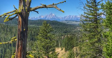
Overview: SciFi and I hiked this route in late July. It was absolutely gorgeous with two respectable and exposed pass climbs and vistas into at least 6 different valleys of this unique mountain range. From a University of Montana column:
These “Crazy Woman Mountains,” as the Native Americans sometimes called them, are crowned by 11,214-foot Crazy Peak. With 25 pinnacles soaring to more than 10,000 feet, they are the third highest range in the state. Ice, wind and water erosion sculptured them and created the more than 40 jewel-like lakes scattered amongst the sharp saw-toothed ridges and alpine basins. Today, only one ice-age remnant remains, Grasshopper Glacier, which clings to a north facing headwall between Cottonwood and Rock lakes on the west perimeter.
We completed the loop at a relaxed 2 day clip. Trail runners and fast packers could easily nail this down in a day or a beginner group could make a 3 night trip of it, camping at a different, crystal clear lake every night. As we experienced, everyone from hikers, backpackers, skiers, and of all ages from children to seniors were out enjoying this area. The trail was clear and easy to follow.
Hazards: Some sections are steep and rather exposed. The route goes over two passes. If, like me, you think you might just bushwhack a route off the end of trails that dead end, you won’t, you’ll see what I mean when you get there.
 Snow was still hanging around in late July so the passes could be snowy and hazardous until well into summer. Which could be a great thing if you are looking for some back country skiing…
There was some blow down along certain sections of trail but nothing terribly notable except for the sake of comment.
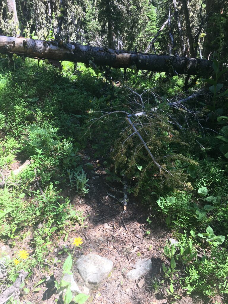
Some downed trees along certain, less used lengths of trail. Moderate use. On a weekend we saw about 30 other non-motorized recreationists on the route, largely around the various pristine lakes. That said, in bad weather, you are very exposed on these passes. Some of the scree fields could prompt vertigo, though the trail is well built and very clear. There is a section of climb which is on hard pack dirt and I totally biffed it right in front of a group of other hikers who were, just at that moment, marveling at what fast hikers we were. So, you know, pride cometh before the fall. Also, on our way out, some yahoo had climbed to the pass and was popping off his gun, so, that was…a thing. that happened.
Wildlife: Didn’t see much, probably because of the number of humans out and about.
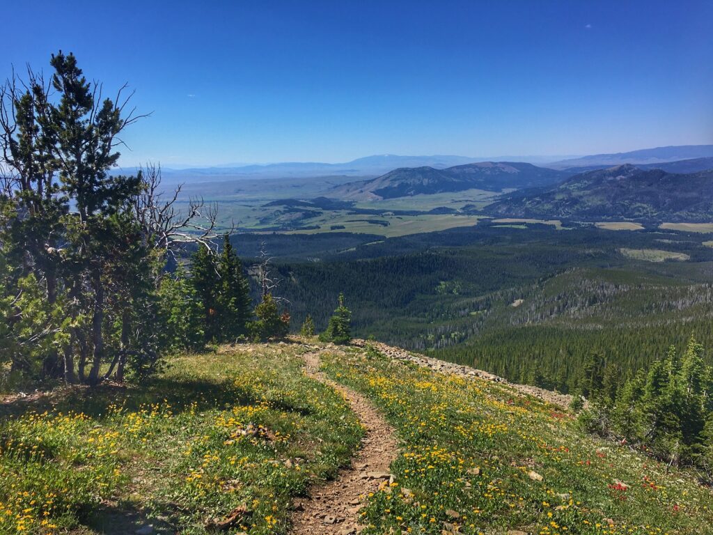
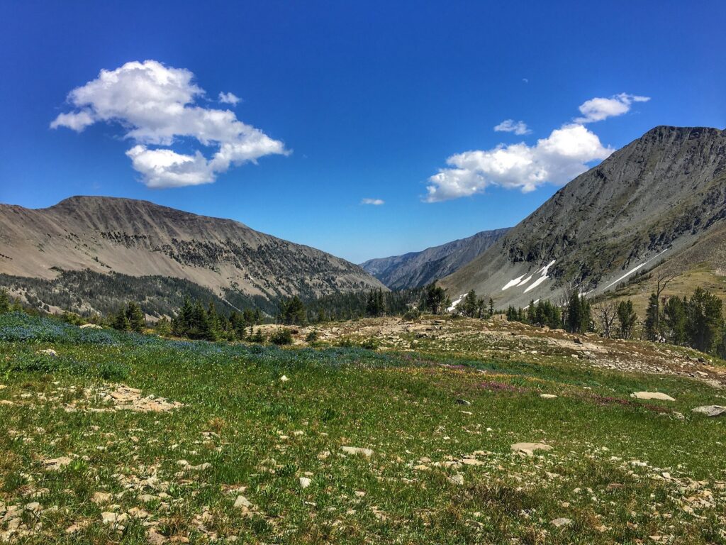
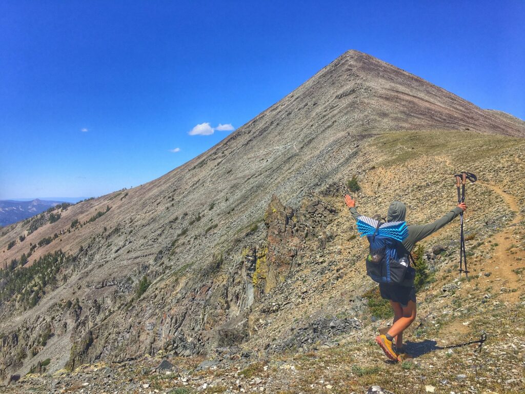
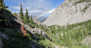
Route Description: There are a number of access points to this particular mountain range and several ways to approach this loop. We put in from Porcupine Cabin trailhead and headed southbound on trail 267 before catching trail 195 in an easterly direction, made a bit confusing by trail work that was happening. The junction will look a bit overgrown but the trail remains steady and climbs in earnest to a rocky ridge with simultaneous views into a number of valleys. Here there is a junction and it becomes trail 123 continuing to follow the ascending ridge. In good weather it is spectacular, though, in bad weather, I could imagine it being sketchy.
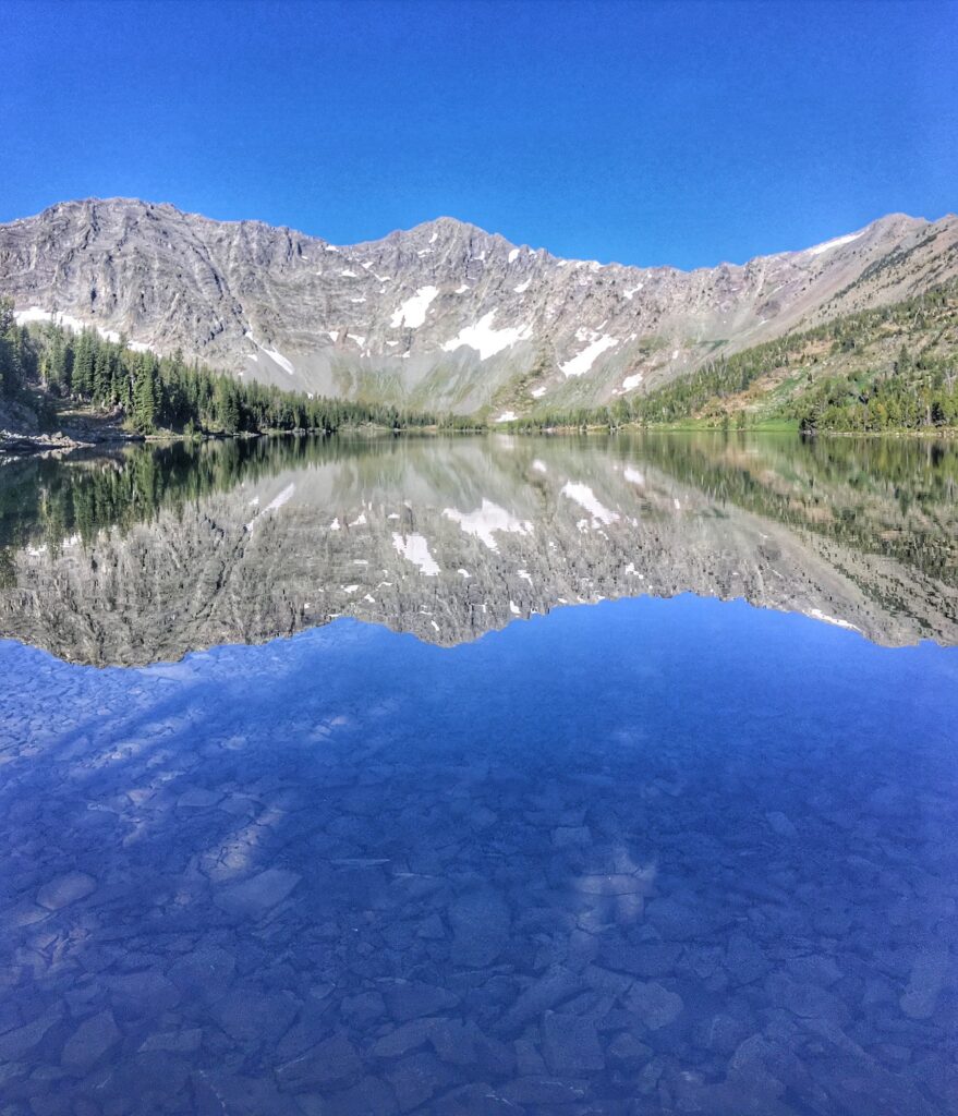
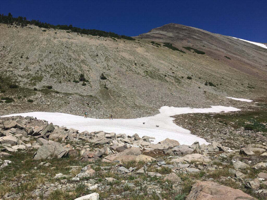
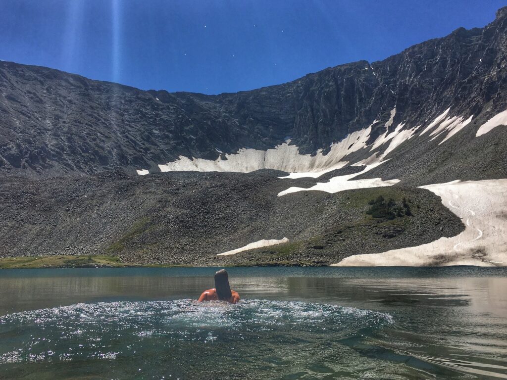
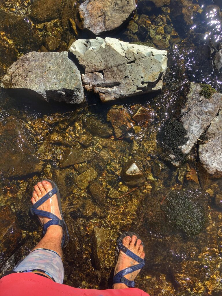
A quick descent to Campfire Lake with lots of camping spot options and fire rings, the largest and most heavily used were a cluster down at the outlet at the east end of the lake. From there the trail switchbacks and descends past Moose Lake then mellows and follows the Middle Fork Sweet Grass Creek passing a trail junction and then on another miles to where you turn Northwest on trail 273 and begin to climb again along the drainage from Sunlight Lake. There are a number of lakes on this climb, all of which offer spectacular camping, views, and swimming. The highest lake, Sunlight, sits above treeline at the base of a patch of year round ice (can we even call these glaciers anymore?) We were delighted to spend a lunch break taking quick dips in the cold water and watching two skiers lay down lines down to the edge of where the snow dropped off into the lake.
Where you climb above Sunlight Lake becomes trail 260 and in the alpine bowl can be a bit tough to find the start of the trail as it contours the climb but if you look up from the lake and slightly to the east, you will see a distinct cut of trail in the ridgeline and the trail is easy to follow once it resumes.
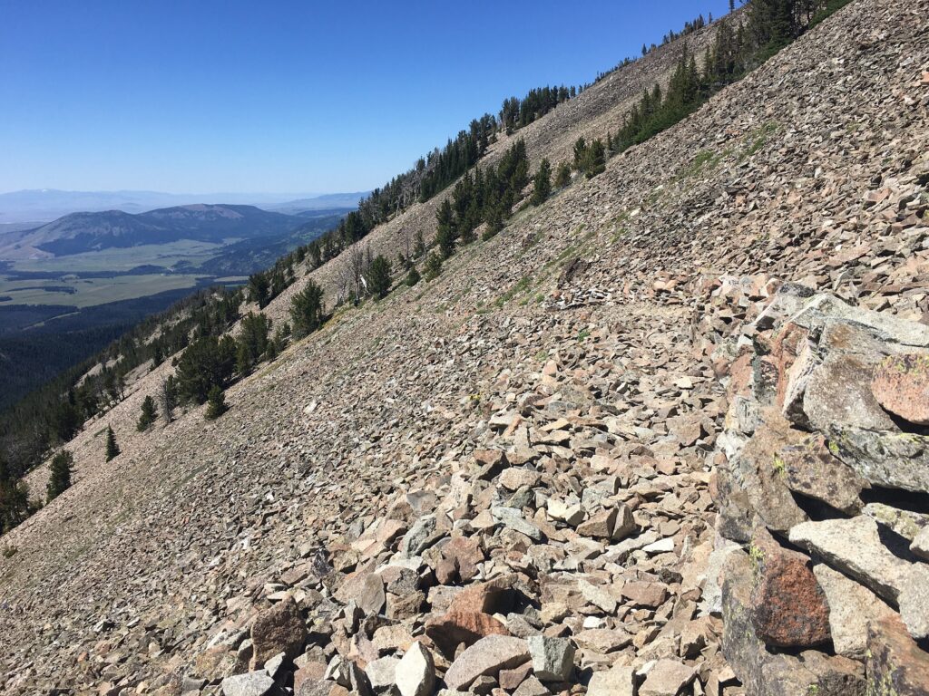
After the pass the talus is notable, as is the trail work efforts! Some areas here are, again, quite exposed and steep, then where trail becomes dirt, the trail descends steeply into the trees. There is a Sunlight Creek Trailhead affording access to the area along this trail with about a 5 mile approach so there were a number of users of varying trail etiquette experience coming from there. We passed a number of groups climbing up, and this is where I lost my footing and went for a slide of shame right between a small group of women and their ill behaved dogs who were romping off leash. This was also the pass with the gunshot yahoos.
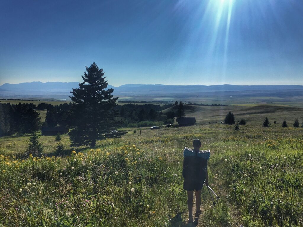
Near a creek crossing we turned off on trail 258 which led into forested, rolling timber terrain for 2.7 miles when we passed another trail junction but remained on 258 which climbed onto aptly named Bald Ridge, where there were a couple of gate crossings and open pasture land. From there we descended directly back to Porcupine Cabin Trail head.
Book Recommendations: The Sun is a Compass by Caroline Van Hemert

Comments (3)
Feel free to leave a comment
The crazy woman mountains are in Wyoming…these are not named for hee
Hi Scott,
How funny that there are Crazy mountains in different states. Here are a couple sources I’ve come across about the origin on the naming of the range in MT:
https://outsidebozeman.com/places/mountains/how-the-crazies-got-their-name
http://www.umt.edu/this-is-montana/columns/stories/the-crazies.php
Happy hiking!