Was instantly and simultaneously enticed and wary of doing the Four Pass Loop Trail over the 4th of July weekend.
Touted as one of the “best hikes ever” by Backpacker Magazine, it held promise of both views and crowds.
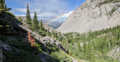
Don’t let the dwarfing valley walls and peaks fool you, this is a high use trail and every piece of micro trash which falls out of your pocket or turd-flower you don’t bury, affects someone else’s experience.
Viva le foutaise!
My perfunctory read on Aspen is that most everyone wears very expensive shoes.
Our crew, in all our Chacoed glory recited our ABCs as we gathered together and gleaned what information we could about the trail itself. Everyone we spoke with either had done it or “needed to” do it.
 Maroon Snowmass Trailhead can be accessed by private vehicle ($10 fee and early morning/nighttime access only), bike, or free bus up from Aspen.
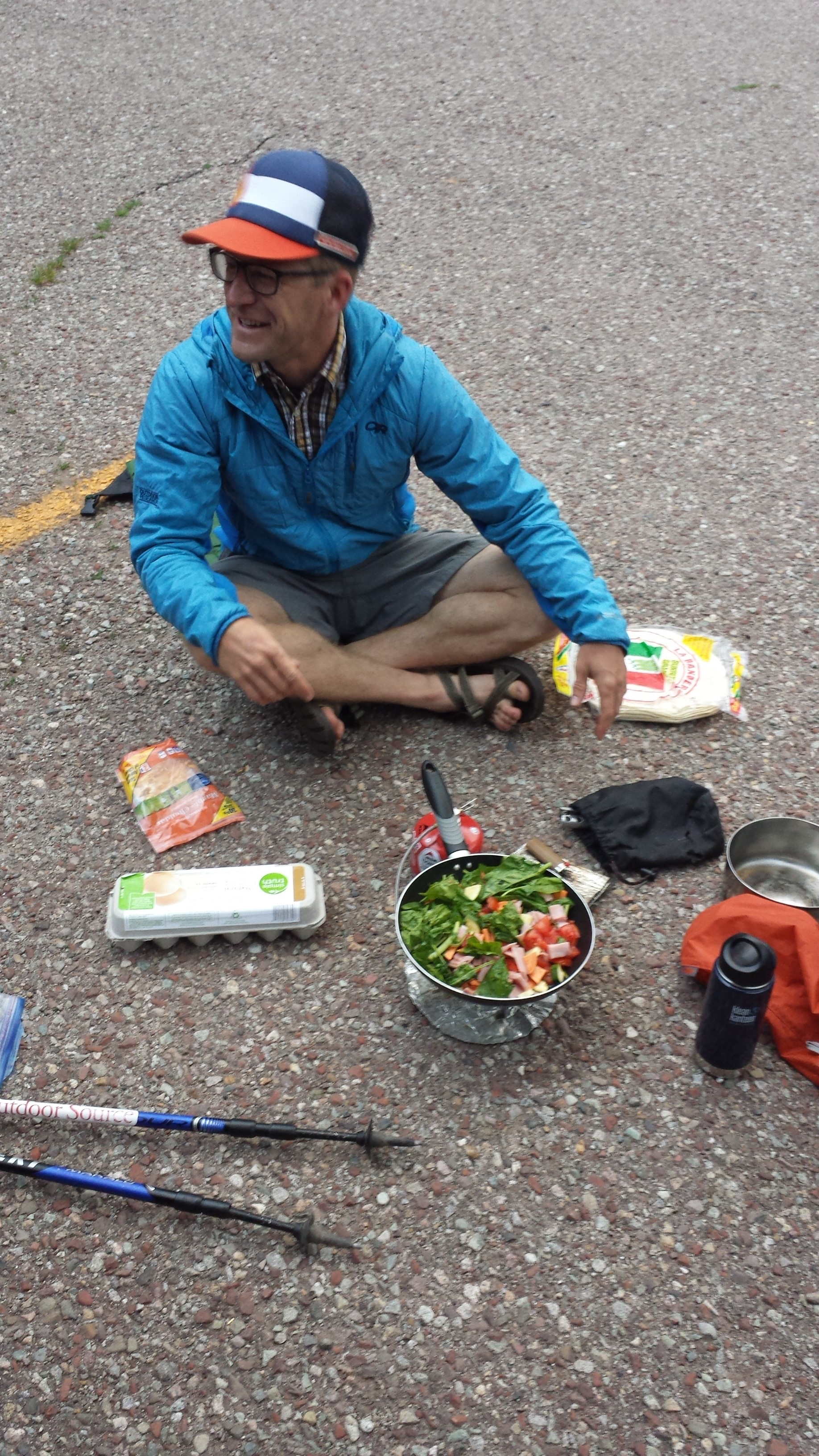
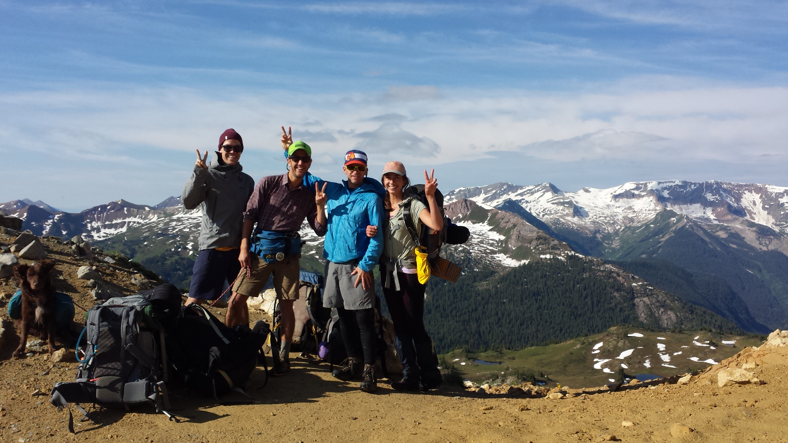
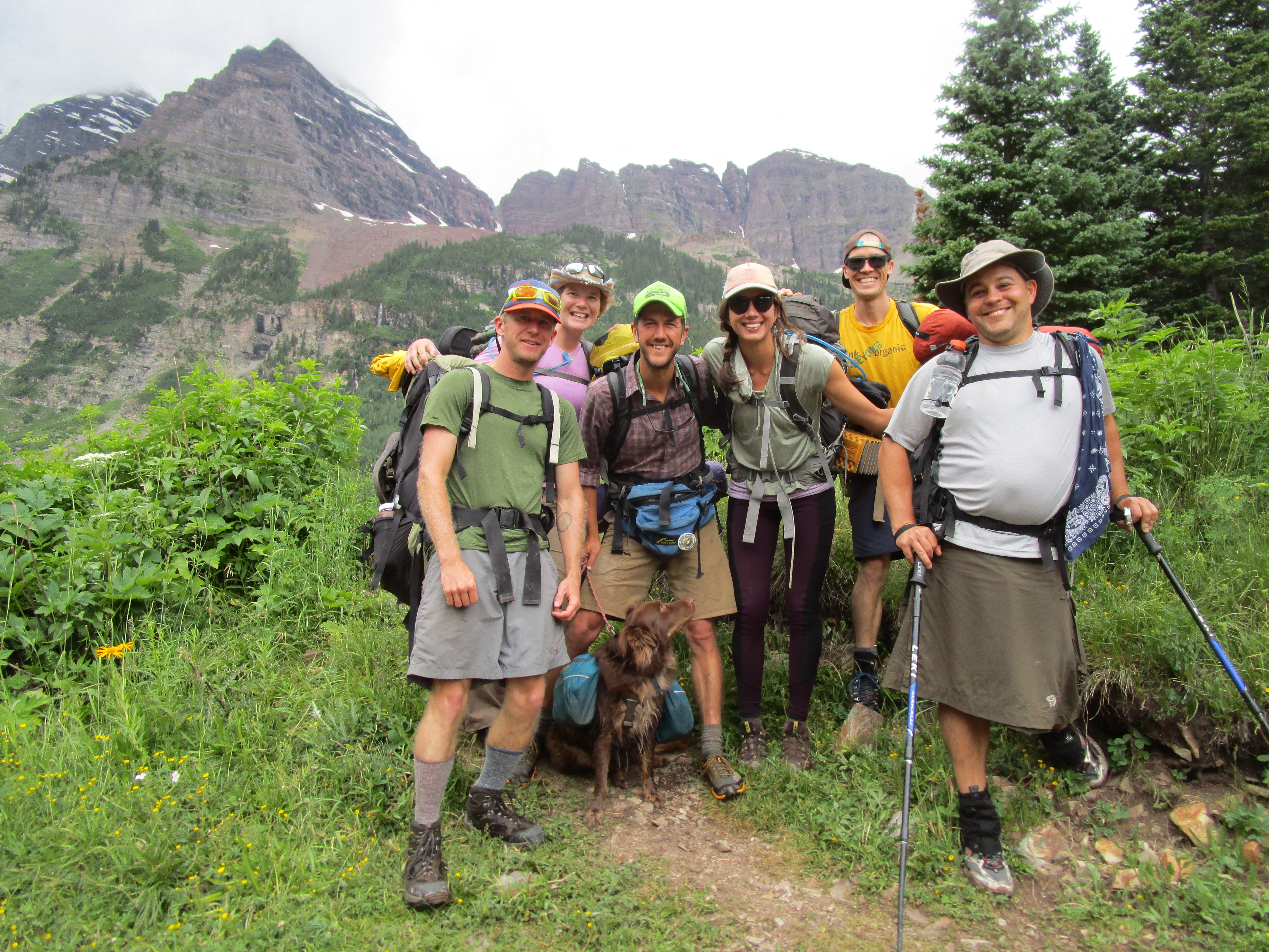
James, Elise, Matt, Chazzzz & Ripley t. Dog, Rif Raf, and I made for an early morning departure from the Overflow Parking lot. By that I mean, we made delicious burritos in the parking lot as unexpected morning clouds shifted the sun’s rising rays.
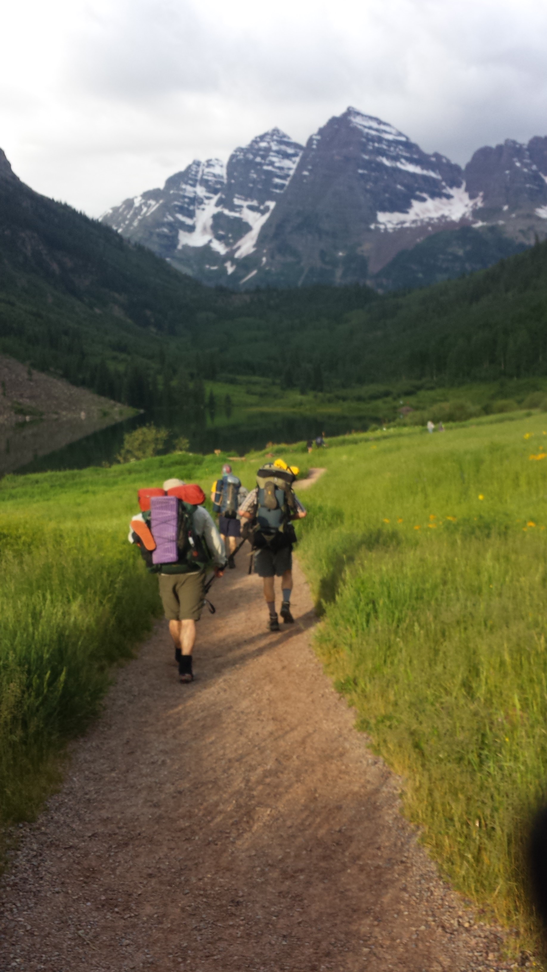 We set off up the road by 7:30 and were gasping as views of the peaks opened up ahead, before even leaving the road.
The trailhead area is quite expansive and equipped for all number and variety of visitors. Informational boards lining wide gravel 1/2-2 mile trails around Maroon Lake. Chris the ranger warned there were still significant amounts of snow on the trails and then indicated how to navigate out of the “nature information, water sprinklers, fake caves, gift store” maze we had meandered in to.
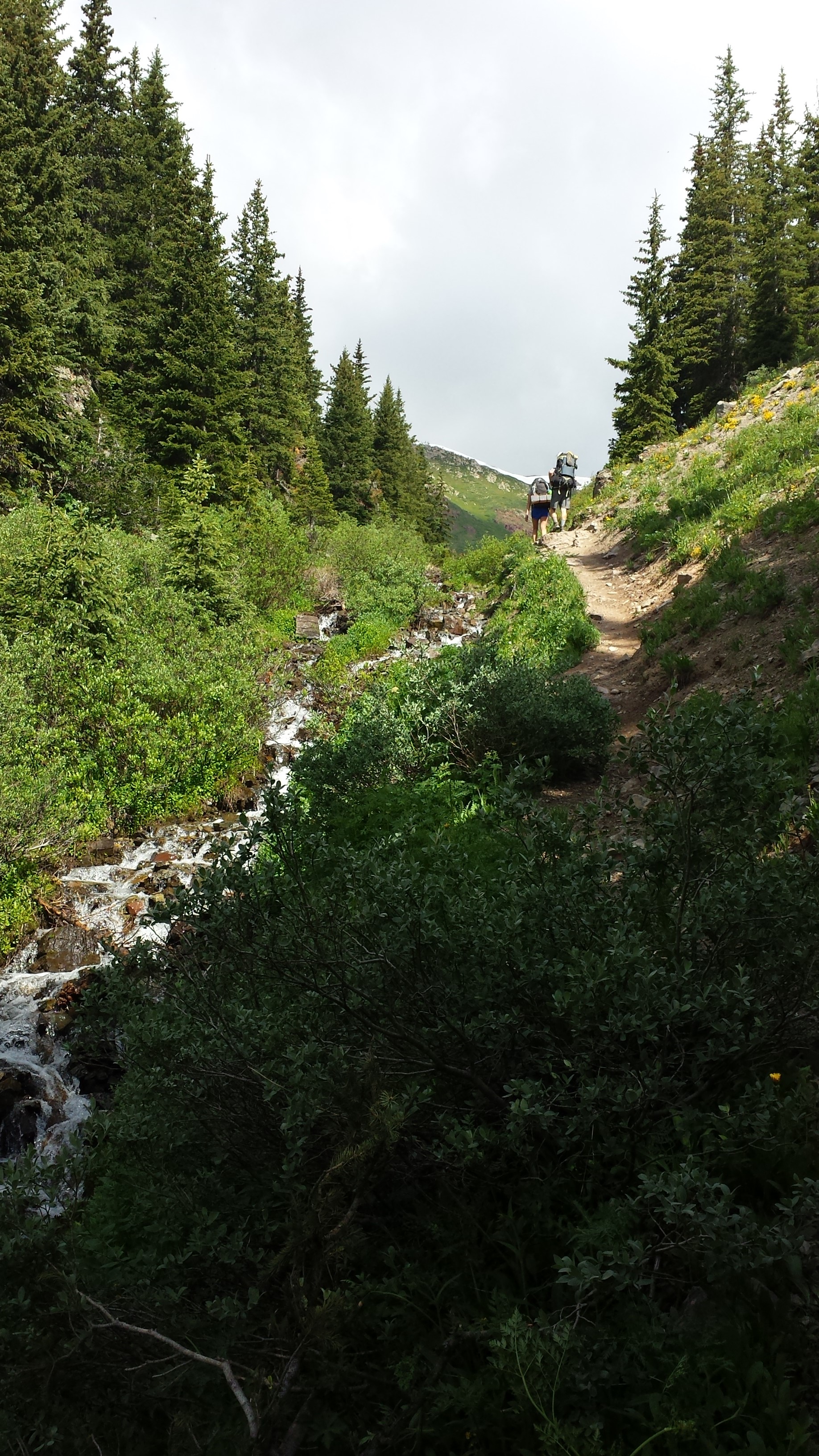
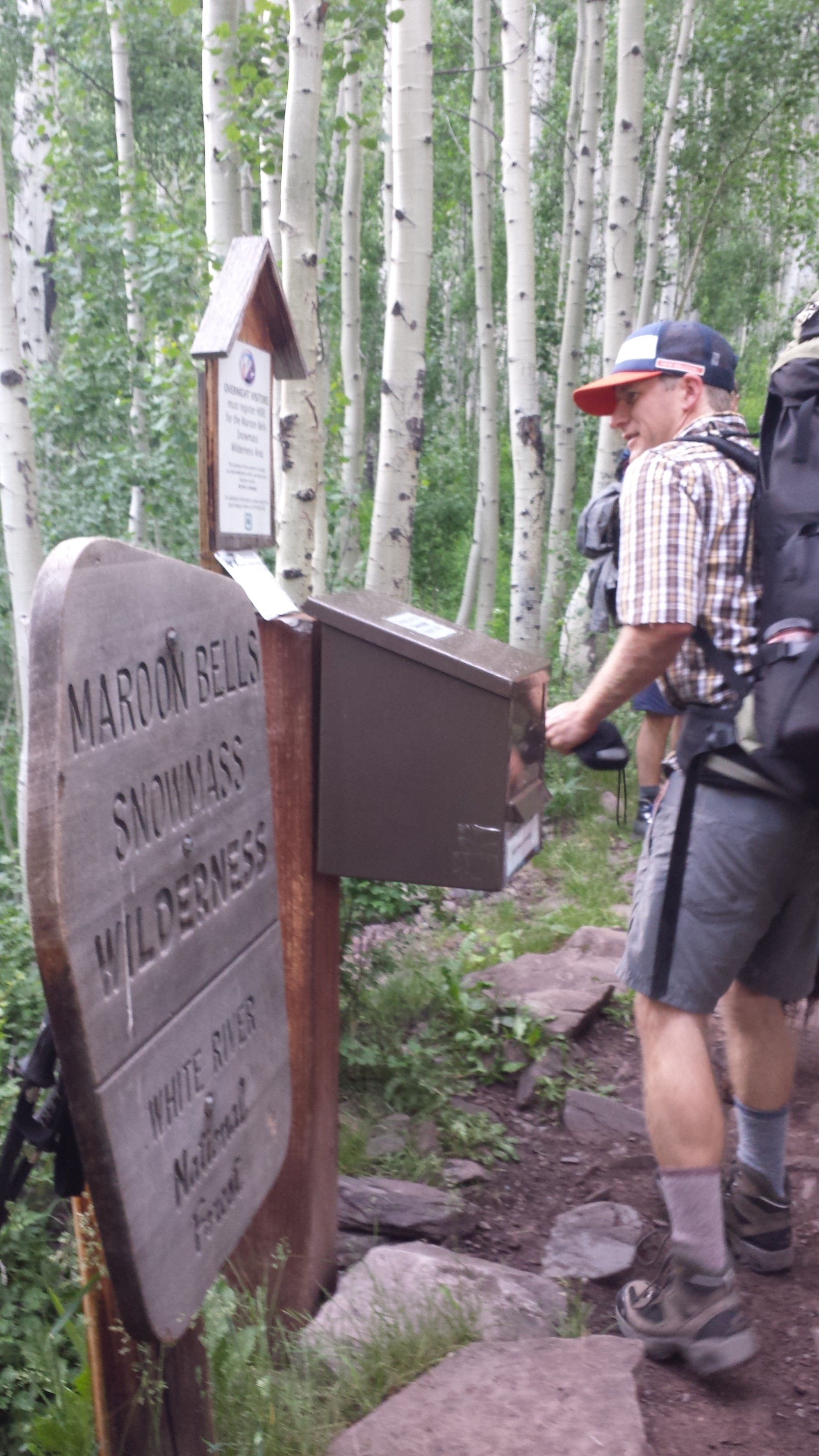 About half a mile up valley the trail passed the Wilderness Area Registry.
Destination Unknown, Ruby, Ruby, Ruby Soho.
At mile 1.6 we came to the loop and the decision whether to take the route clockwise (widely recommended for an easier introduction to the elevation gain) or counterclockwise (masochist’s delight). Either way you go, there will be over 7,000 ft of elevation gain.
We opted to go anti-clockwise in an effort to mitigate crowding at campsites. This turned out to be an excellent choice, passing at least a dozen groups going the opposite direction on the first day and around 20 on the second day.
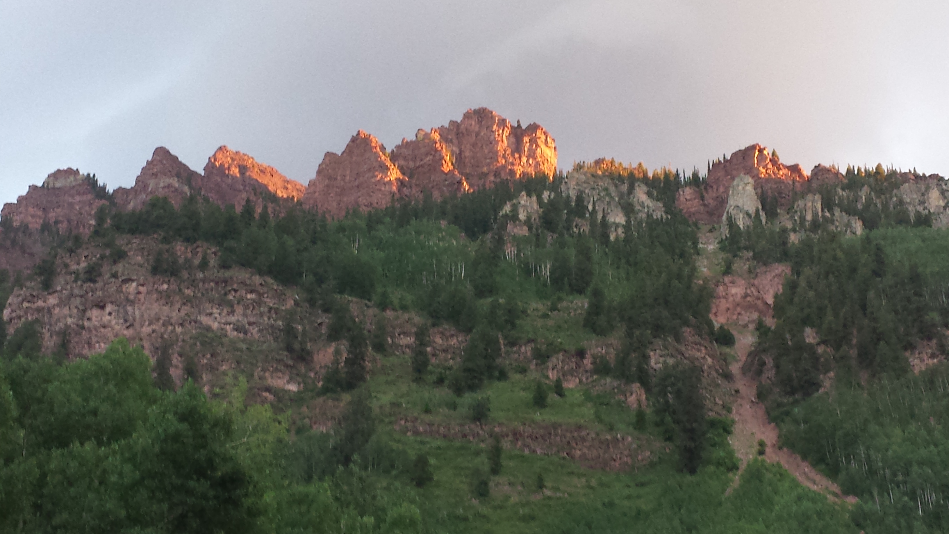
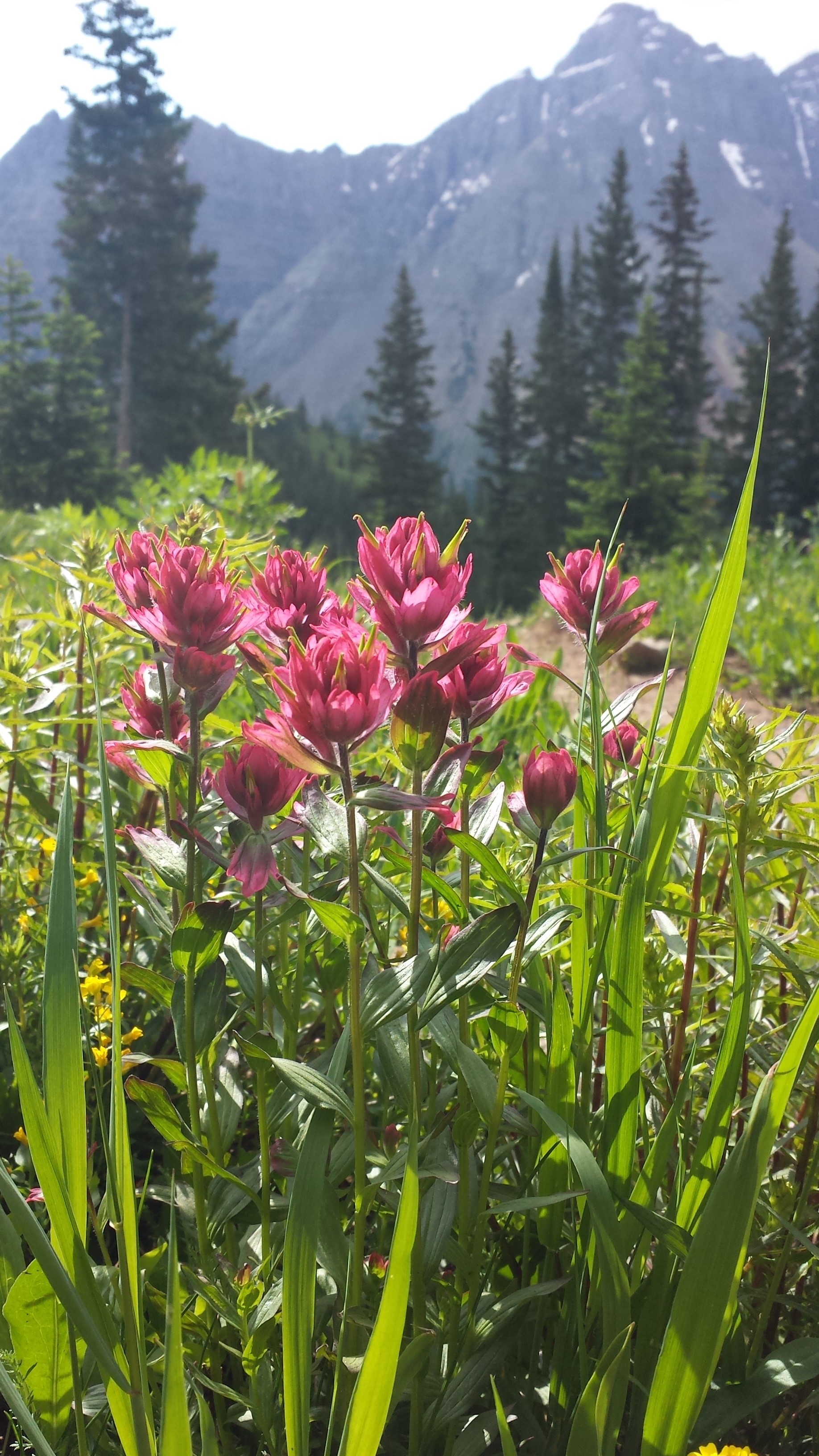
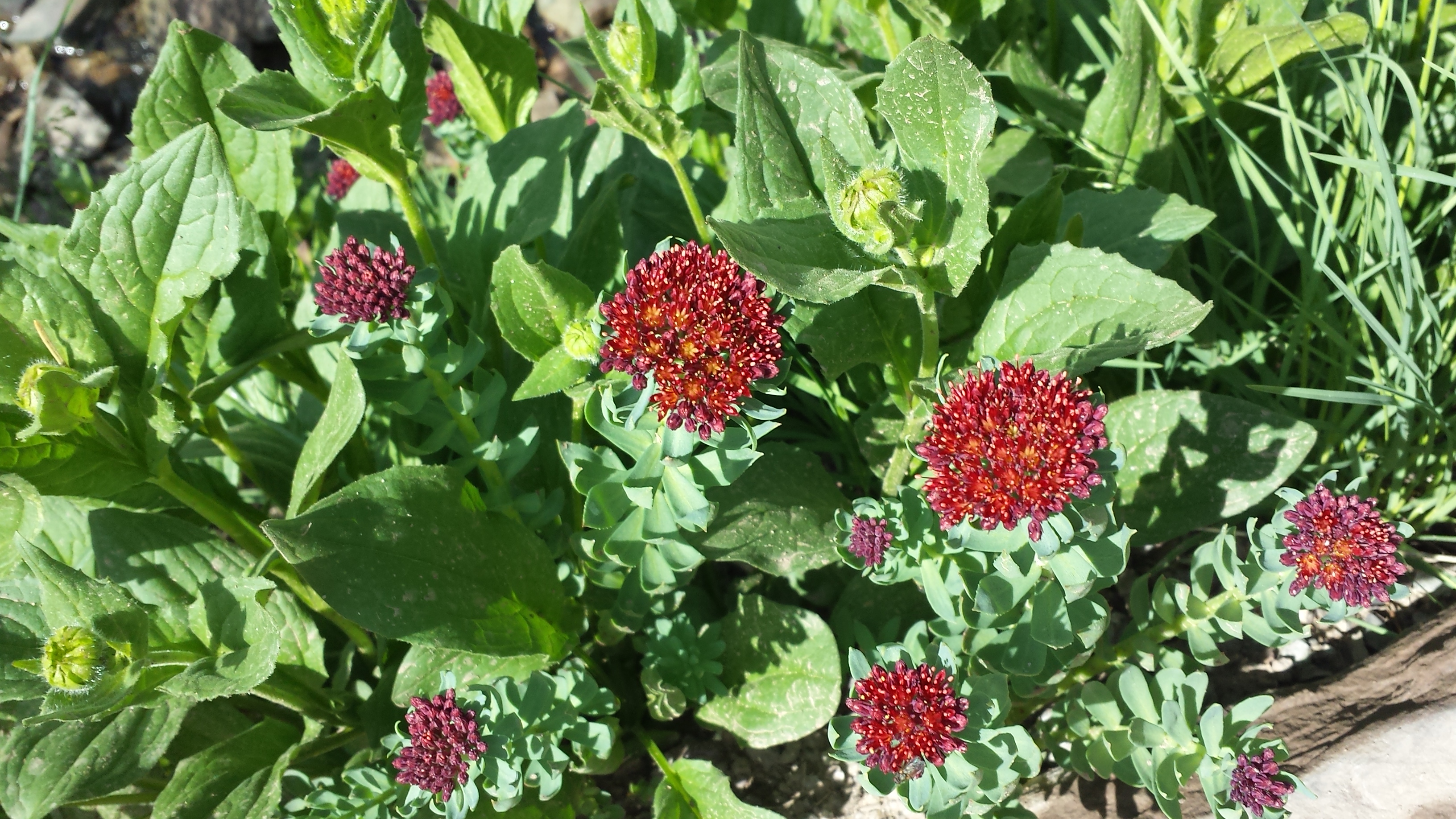
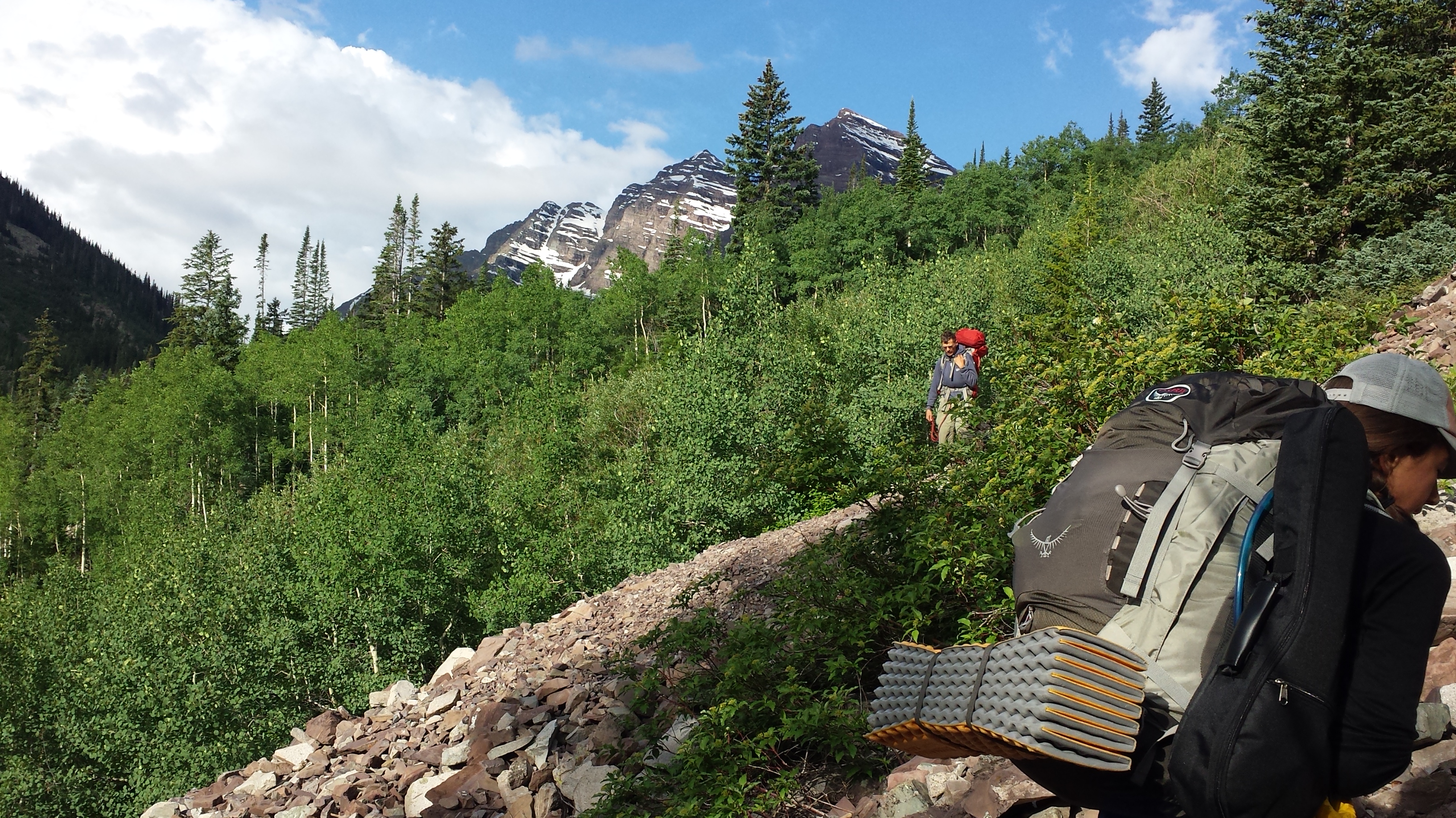
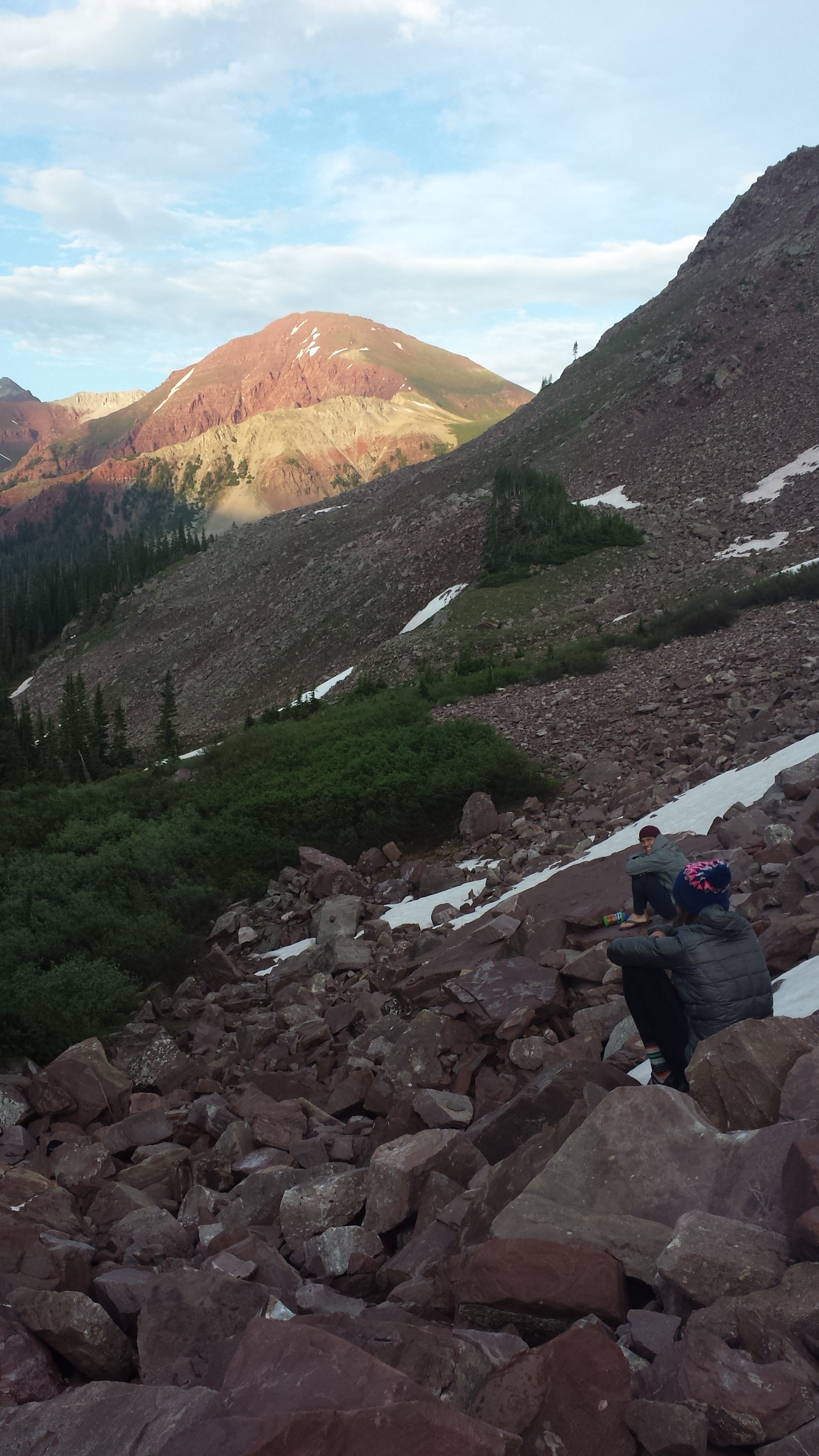
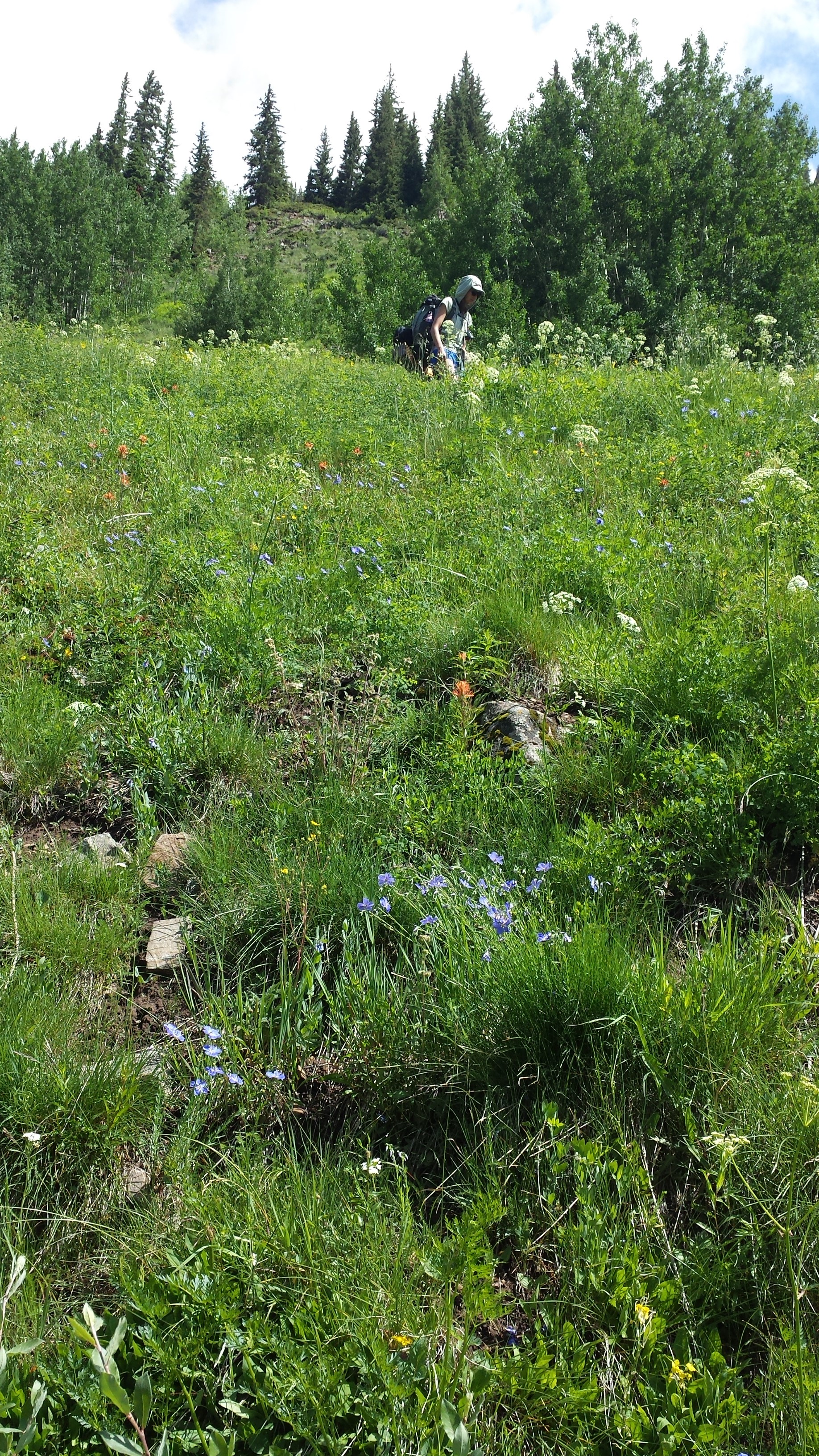
The initial 2200 ft climb over 2 miles to Buckskin Pass, (elevation 12,462 ft) gave us ample opportunity to enjoy the blooming wildflowers up close.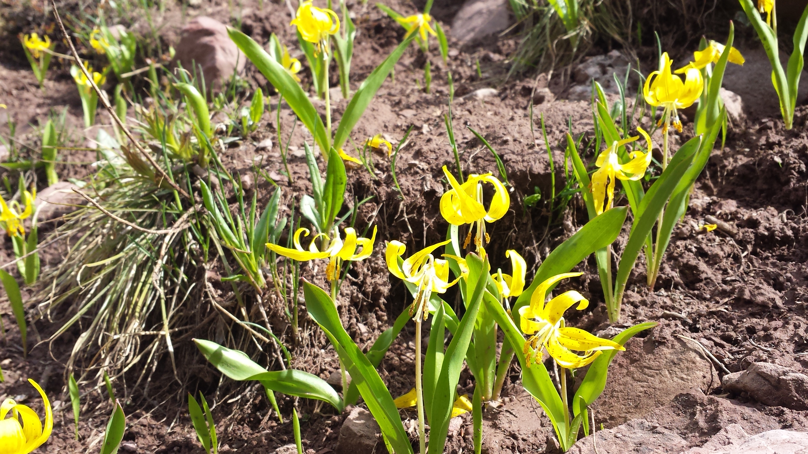
 Part of the way up a panting man with a small pack and water bottles strapped to his hands overtook us. I shouted forward, “runner back,” to warn those ahead to find a spot to step off the sometimes narrow trail.
Meeting he and his crew (3 humans and a dog) on a break at a stream further up he clarified they weren’t runners, rather, fast packers. Their pack weights looked to be around 15 lbs. We didn’t see them again, though wondered how they fared in the storm(s) which transpired later that day.
There is a formula to passes.
First the approach, usually following a creek up a valley.
Second, a steep climb up the valley wall, the ‘Montane zone’ of fir and pine. Stepping through cool, whispering aspen groves.
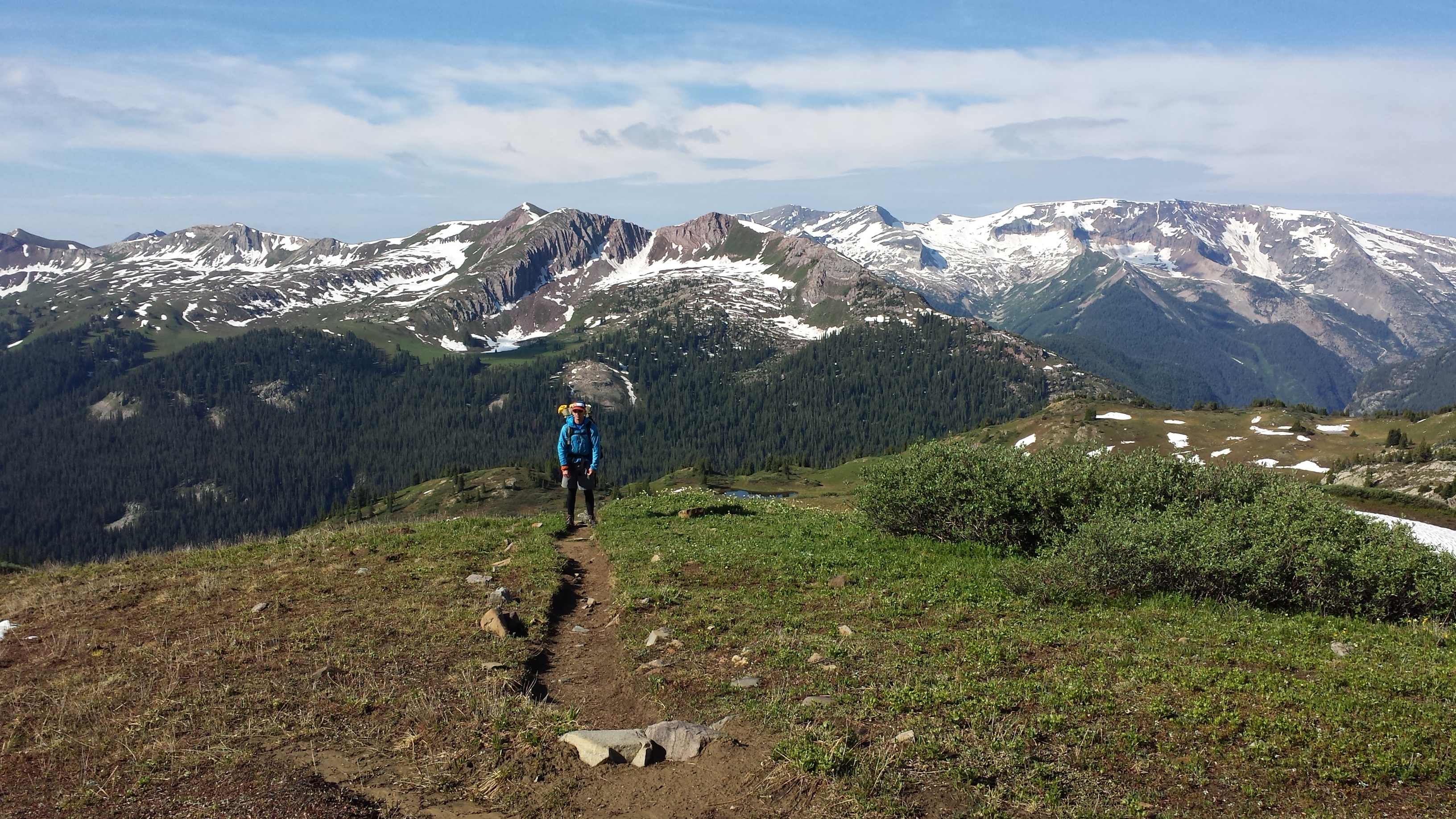
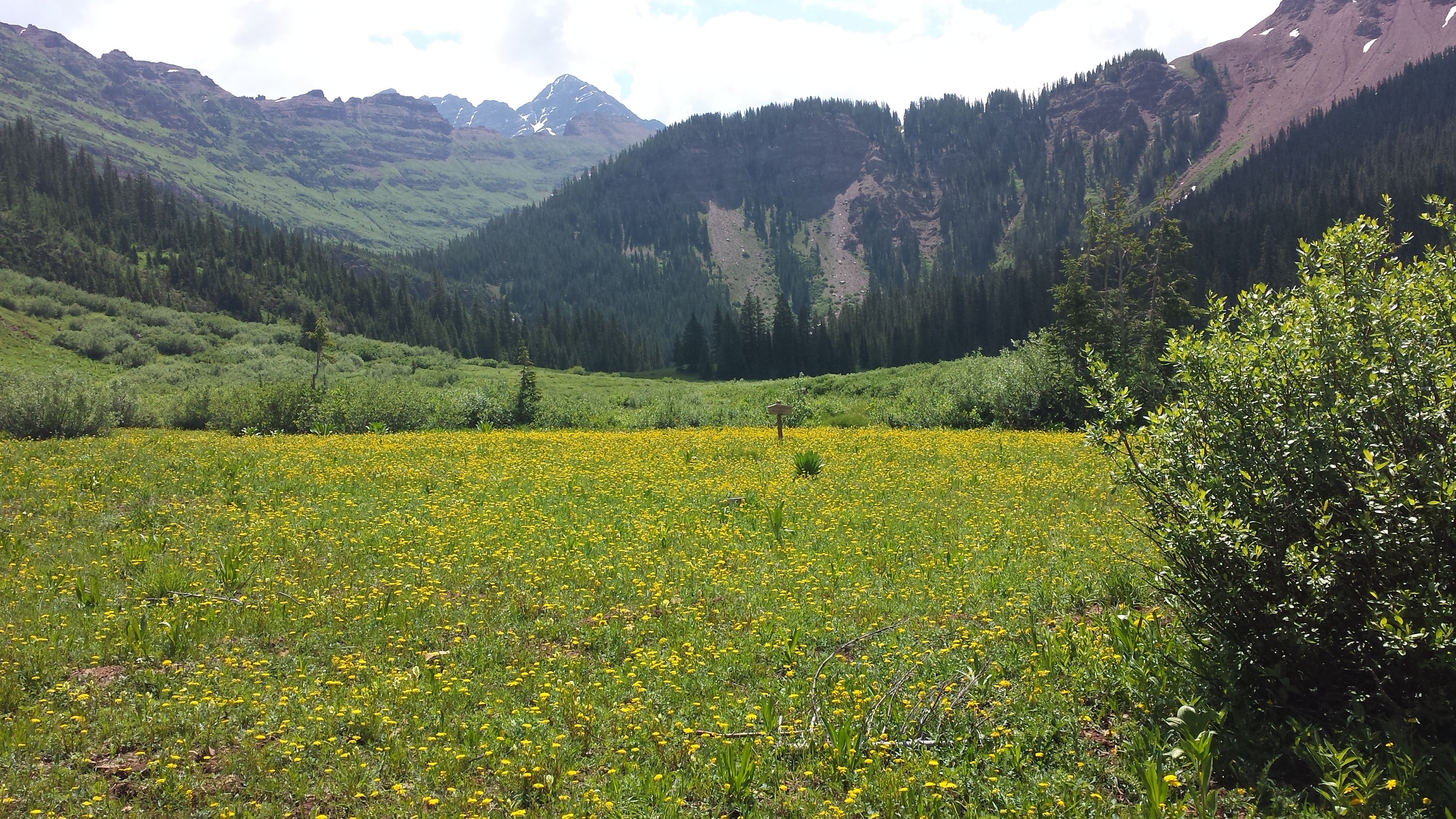
Third is a reprieve, gaining the lap of the mountains; a relatively flat stretch which can be anywhere from a quarter mile to several miles long, past alpine lakes and patches of fir but mostly dominated by shrubs and tundra.
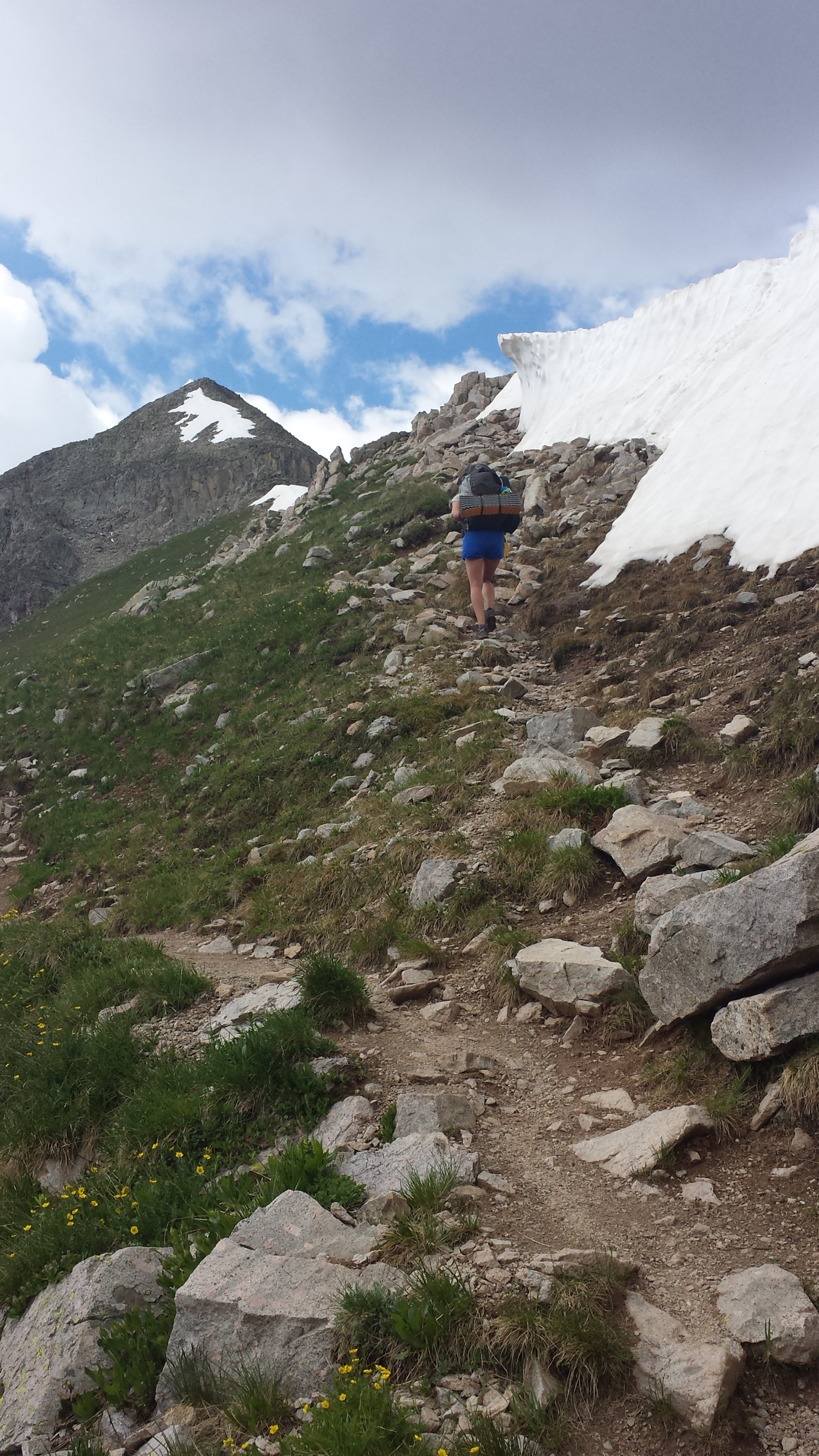
Fourth, an ascent zig-zags up a scree or snow field to the pass (or peak).
 Then, you’re at the top! And it is time to get down before being struck by lightening.
We descended quickly and were caught in a hail storm at the Snowmass Creek bridge. Took cover in the trees as it pelted heavily, iceballs pinging off the rocks and coating the ground, turning the trail into an ankle deep slush flow of Dippin Dots. You get the choose whether that is miserable or fun. 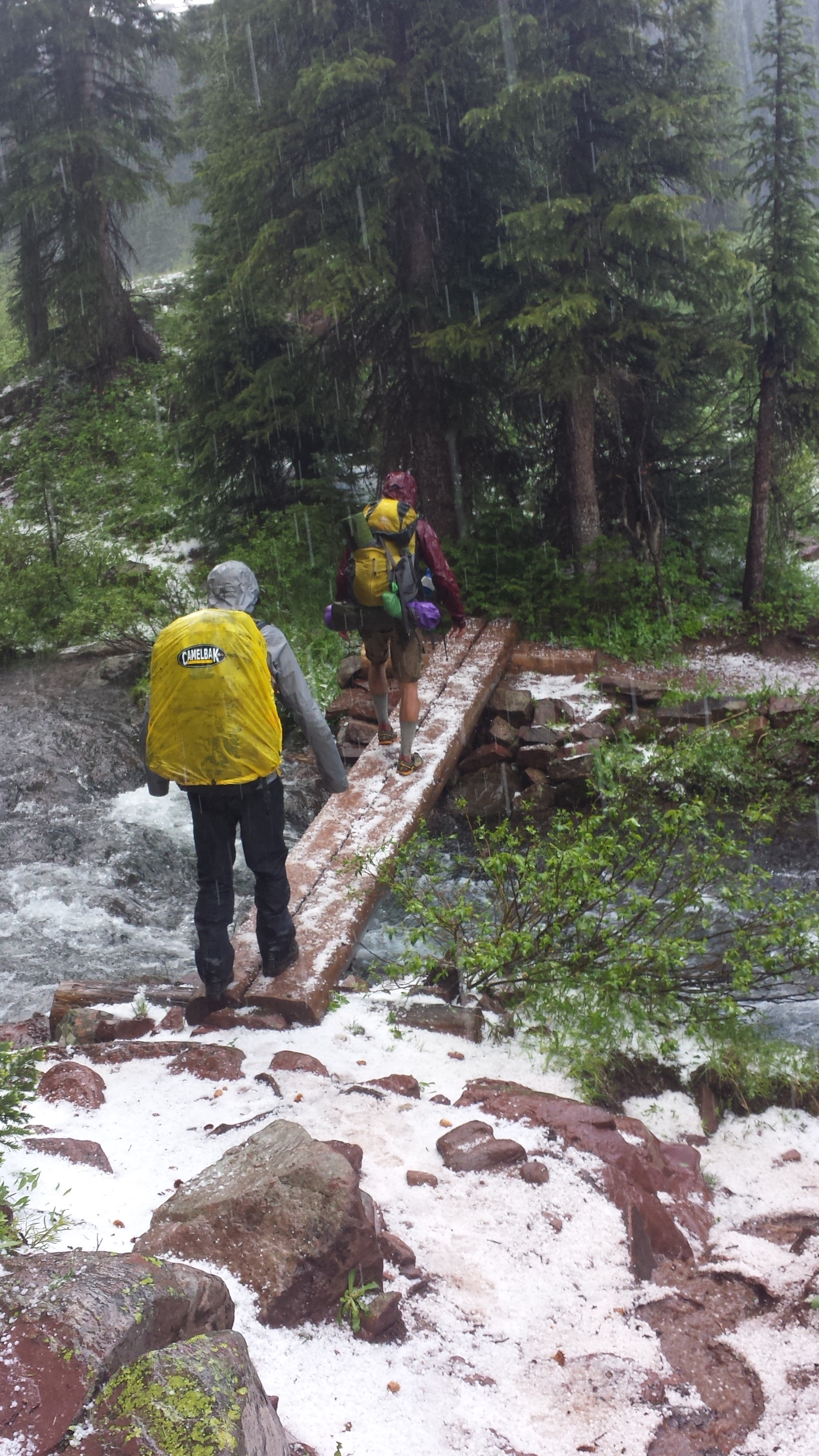 Matt became The Liberator, as stepping into it freed the flow which would wash back down hill. Trail conditions should truly make you grateful to the forest service personnel and volunteers who put countless hours into trail maintenance and routing.
As the sun struck through the clouds we whooped with glee. A cry which resounded joyously from the trees and on up the hill where other hikers had taken shelter.
We passed Snowmass Lake around 1 pm. “It’s too early to stop,” we reasoned and the weather was looking better. We decided to eat lunch on it.
Bolstered, we pushed on up toward Trail Rider Pass (elevation 12,420 ft).
The skies inconsiderately began to crack and threaten as we neared tree line.
Here the group’s backcountry classes and experience kicked in.
Were we pushing forward because of group think?
Yeah, I mean, maybe, but, weather is either going to happen or not and you really can never tell.
We opted to push on.
Acknowledging the risk, we at least established check in points to regroup and reassess as we gained elevation and the weather developed.
This turned out to save us for, as we hit the last of the trees, the skies opened in earnest and we took shelter under the shrubs and tried to wait out this round of hail.
It is difficult to tell timing in those situations but we waited out over a dozen thunder rumbles and as it persisted and our body temperatures dropped, we opted to turn back.
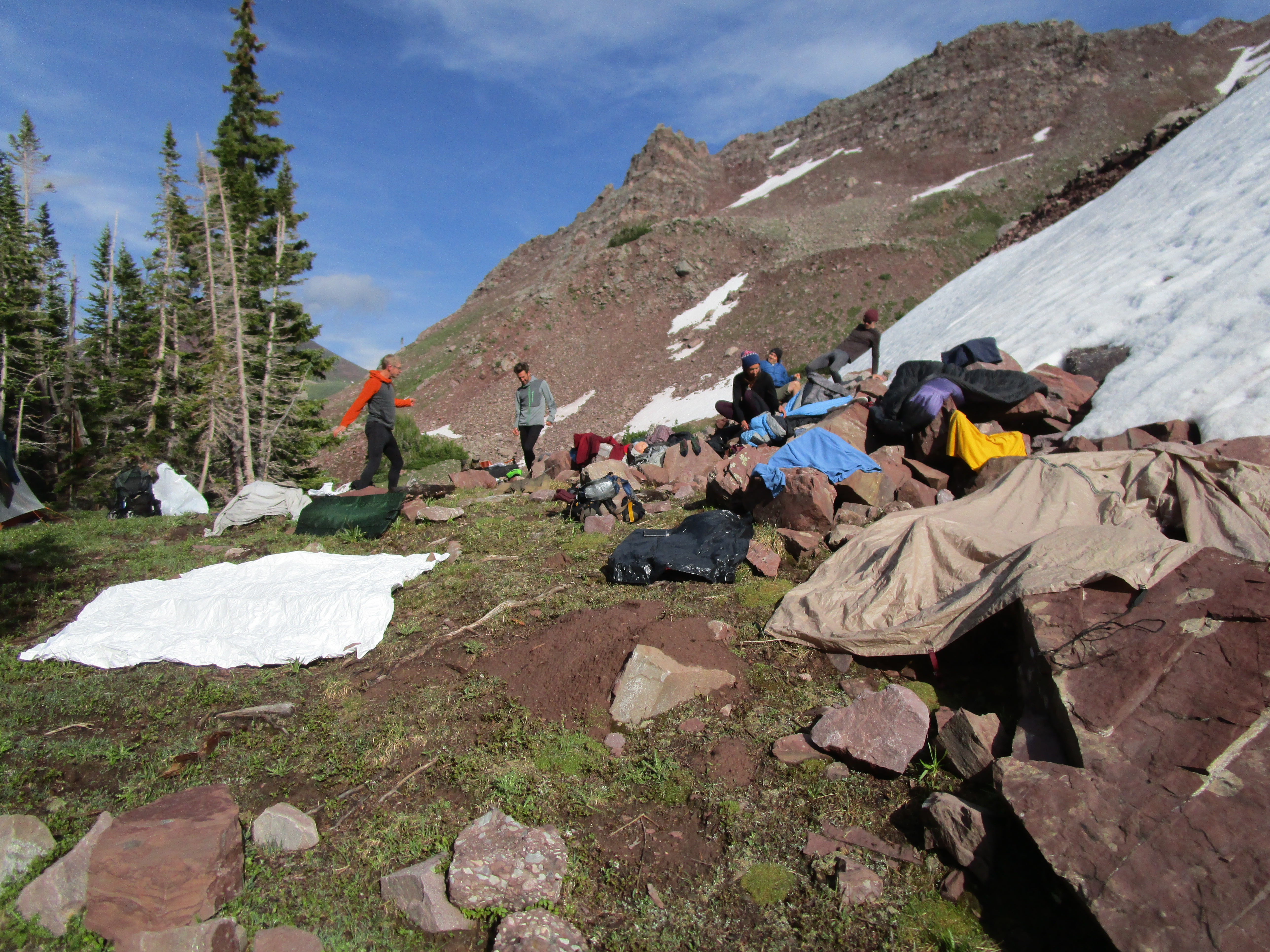
Passing a couple Wilderness Rangers camped in the first real swath of trees, we dropped to the bench below them. A pretty little site wedged between trees and a moraine big pile of rocks. The skies again cleared, allowing us to dry gear and enjoy an evening of banter and laughter.
Now, I have to take a step back. Rewind to a few evenings before in my warm dry house, where I decided that ultra-light/ultra-cheap is ultra awesome and so instead of adding a tent to my pack, I’d just trim a piece of Tyvek to burrito around my sleeping set up and voila, ain’t I clever!
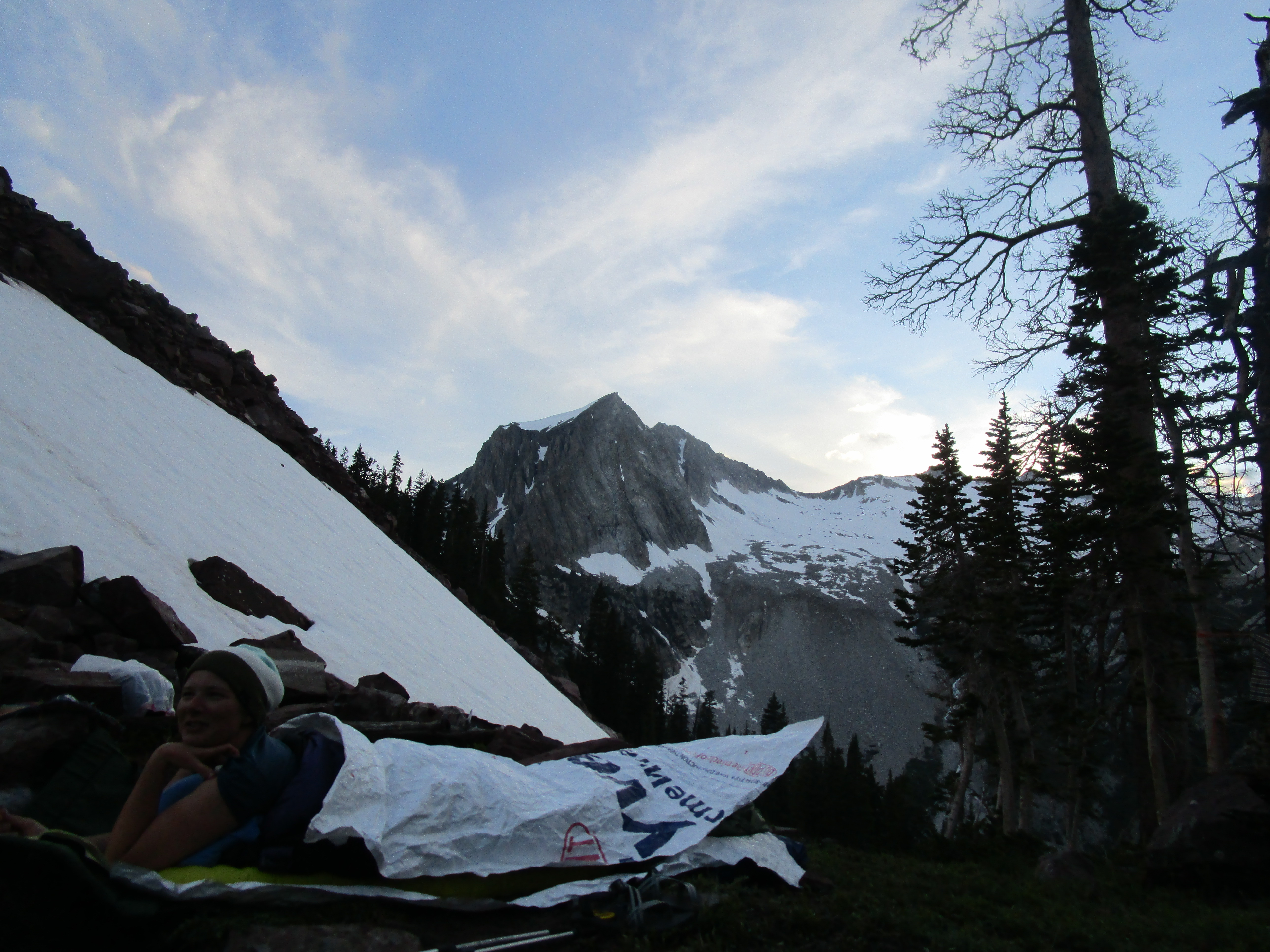
Felt real clever around 11 pm when Matt nudged me awake as yet another storm rumbled over Snowmass’ shoulders. I was very lucky that Chazzz & Ripley t. Dog made room for me in their 2 person tent.
The next morning we snarfed bars and headed up the pass. As this climb was on a north-east facing aspect, it still held a lot of snow. Matt kicked steps into the smooshy snow, keeping our tracks off the delicate alpine tundra beneath our boots.
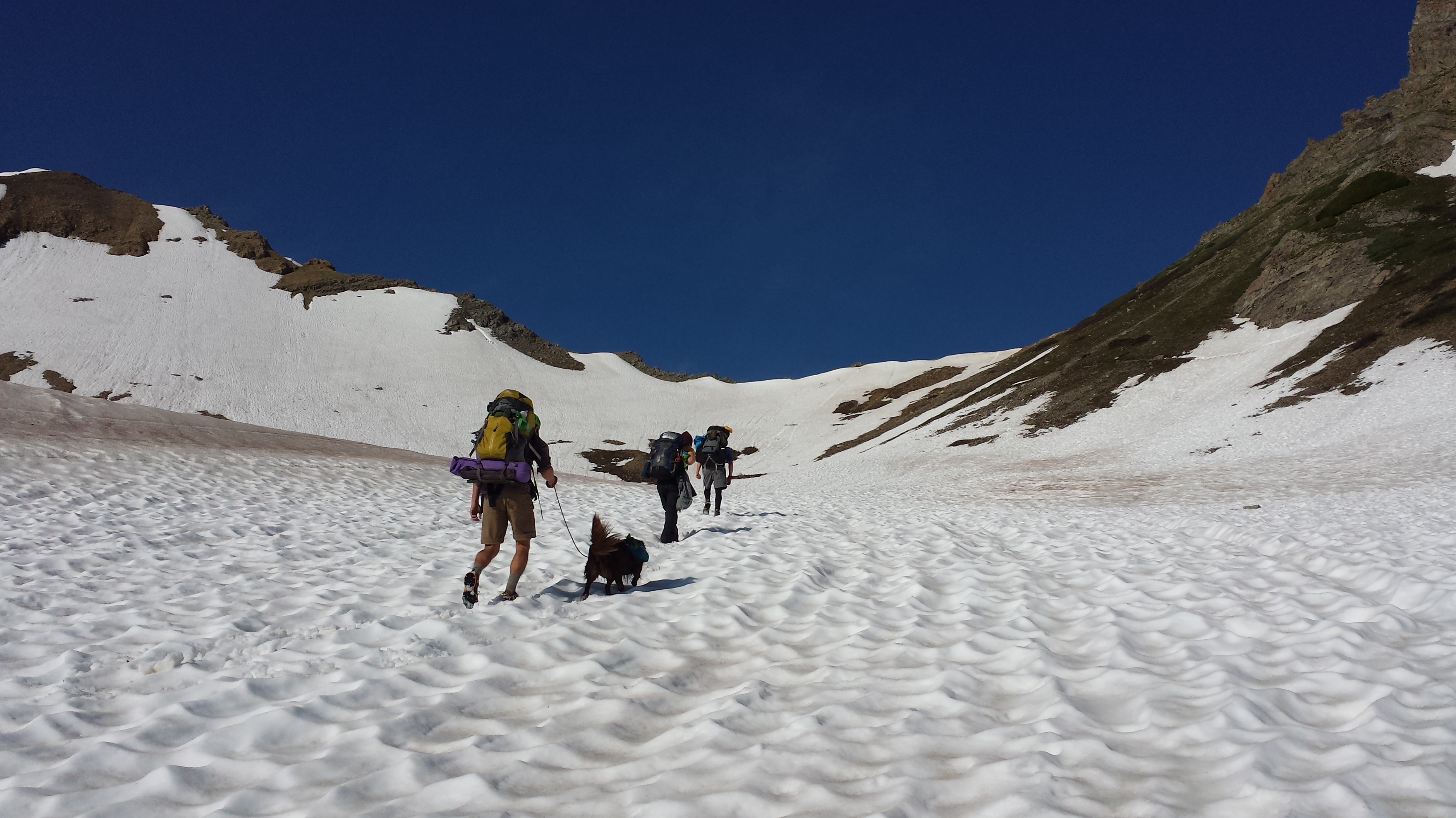
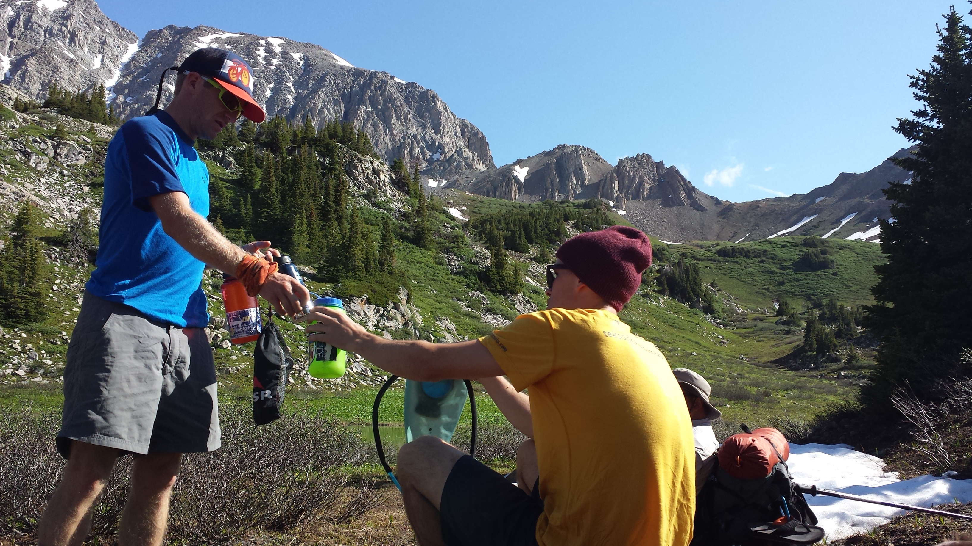
 Topped out before 9 am and opted to head down the other side to breakfast at a lake and filter water.
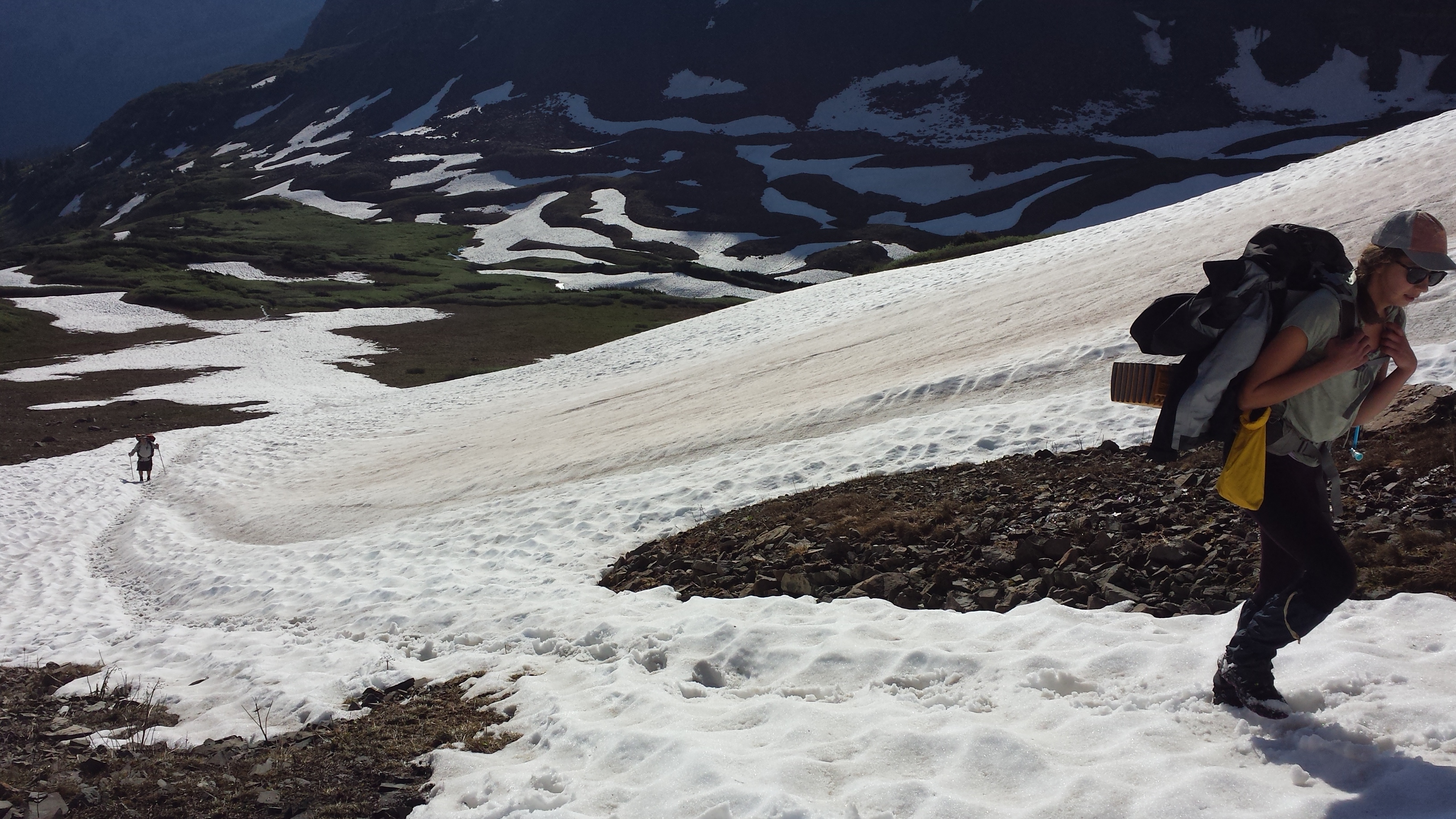
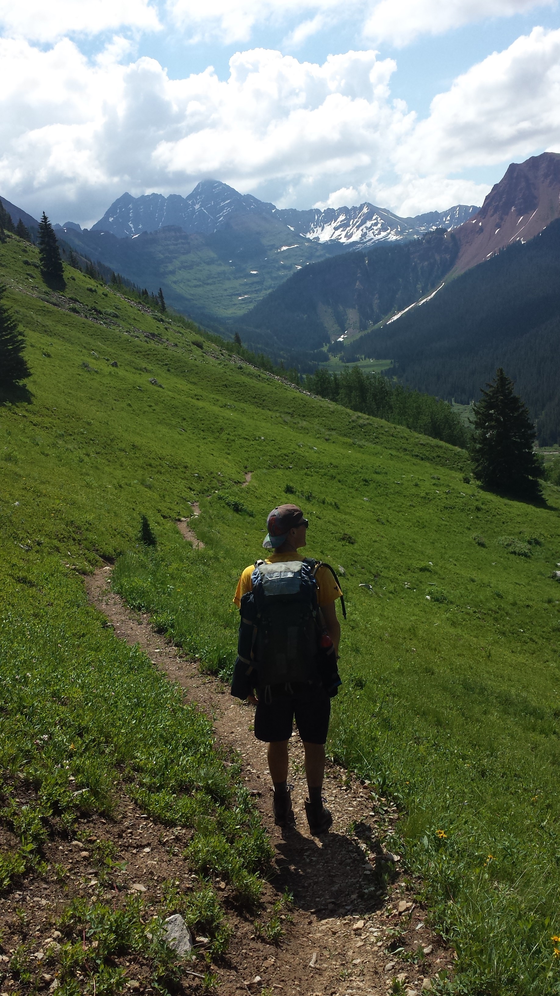
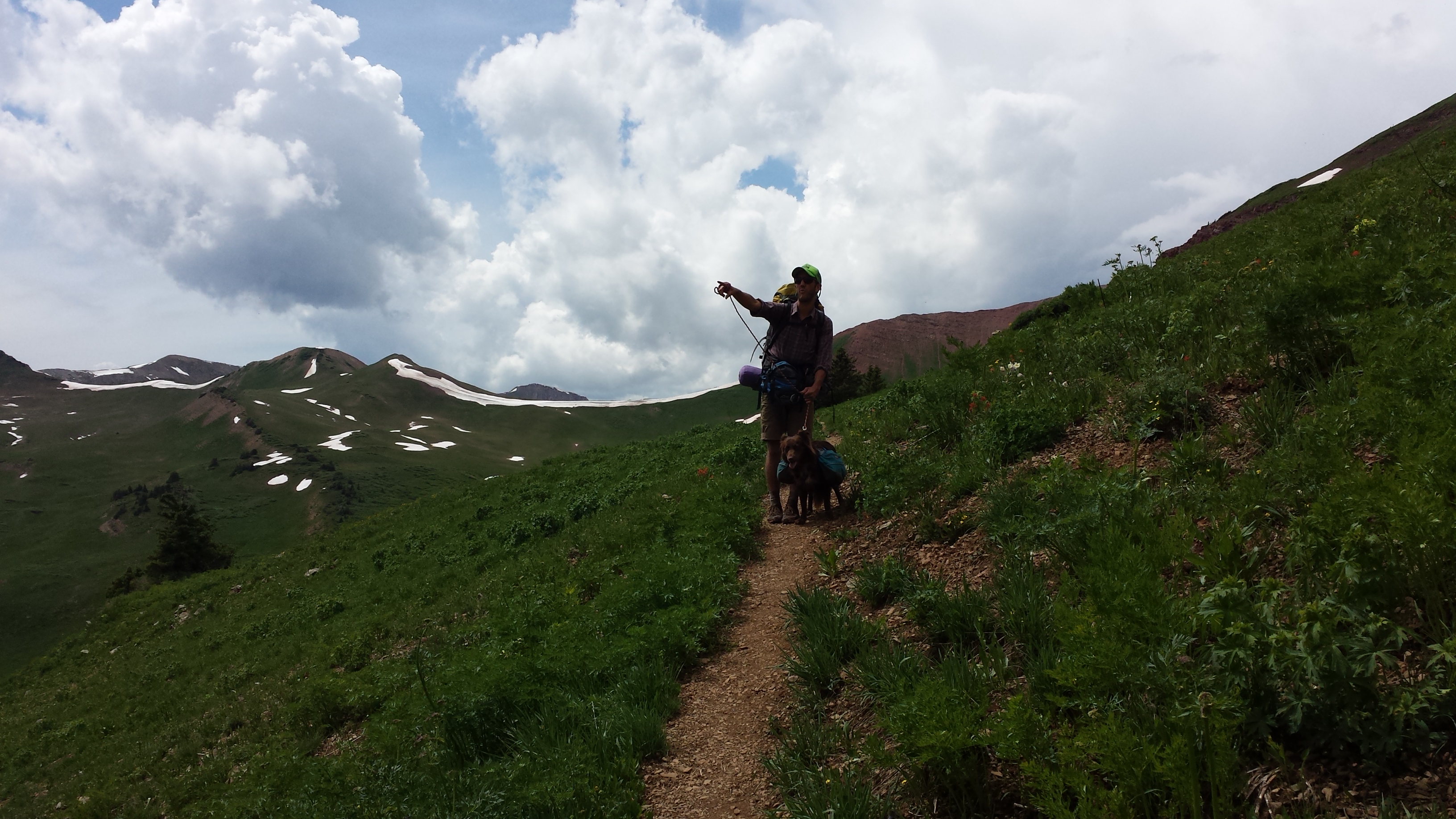
 The descent took us into North Fork Trail. Dropping steeply through hanging meadows, into a valley of staggering beauty. I mean that literally, we were all staggering around as we tried to take in the views and stay on the trail.
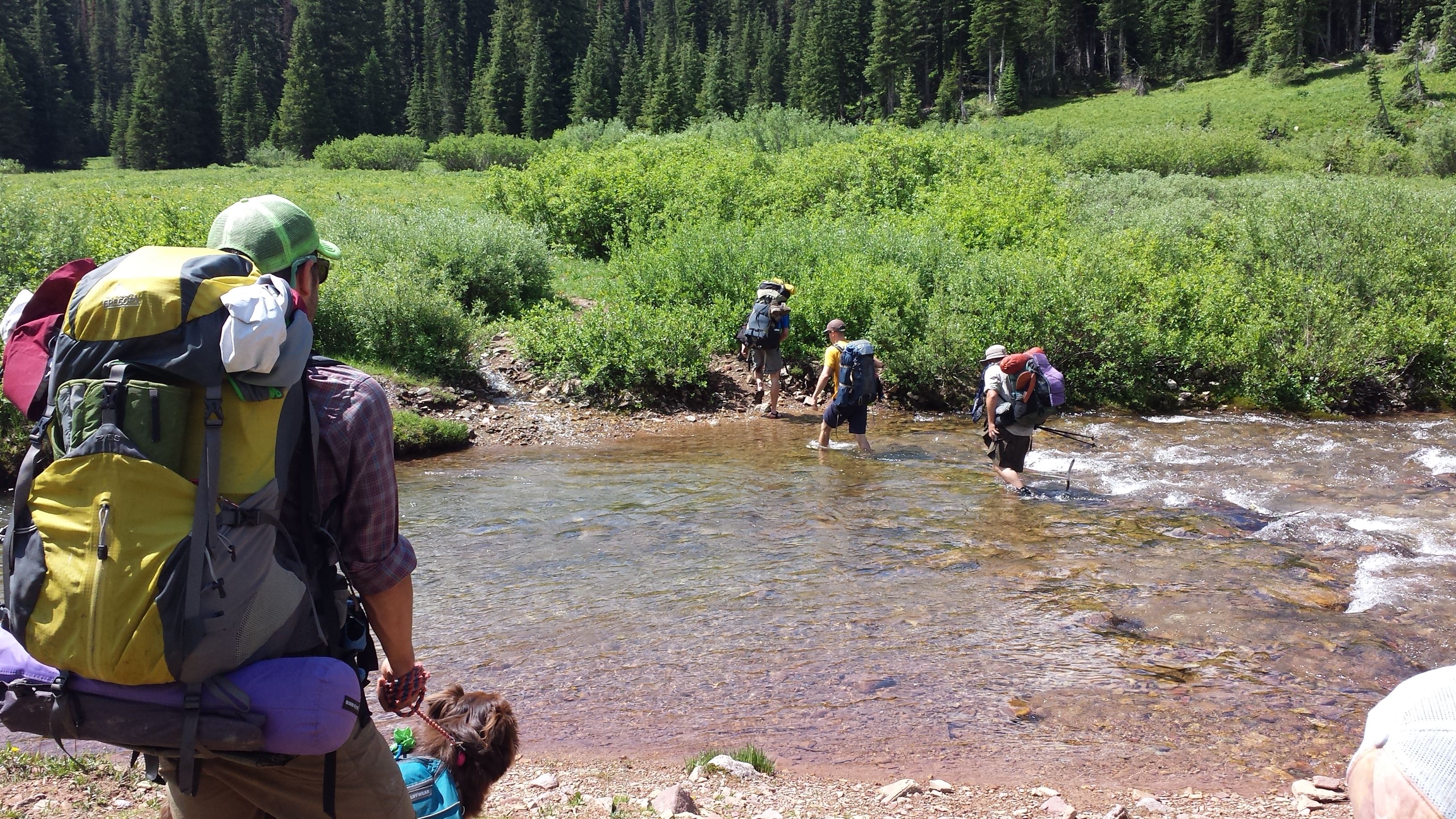
 The North Fork River did not have a bridge but was wide and low. We all welcomed the chance to trade soaking wet and muddy hiking shoes/boots for Chacos/sandals. Hiking on in open toed shoes was a pleasant change and several of us savoured it for the next few miles.
 Soon enough we were climbing again. Racing the weather to make a second pass that day we pushed back taking a lunch break and I lost my schiznit in a hangry rage when the bladder inside my pack dumped 1.5 liters of water down the back of my pants. The kind of frustration which assures that your sleeping bag will never dry again, your pants are so wet you may as well pee them, no one cares and everyone is laughing at you, so why do anything. EVER!
1 slice of Garlic Herb Laughing Cow Cheese and some Sun-dried Tomato Basil Wheat Thins Crackers later and the world was back on its axis.
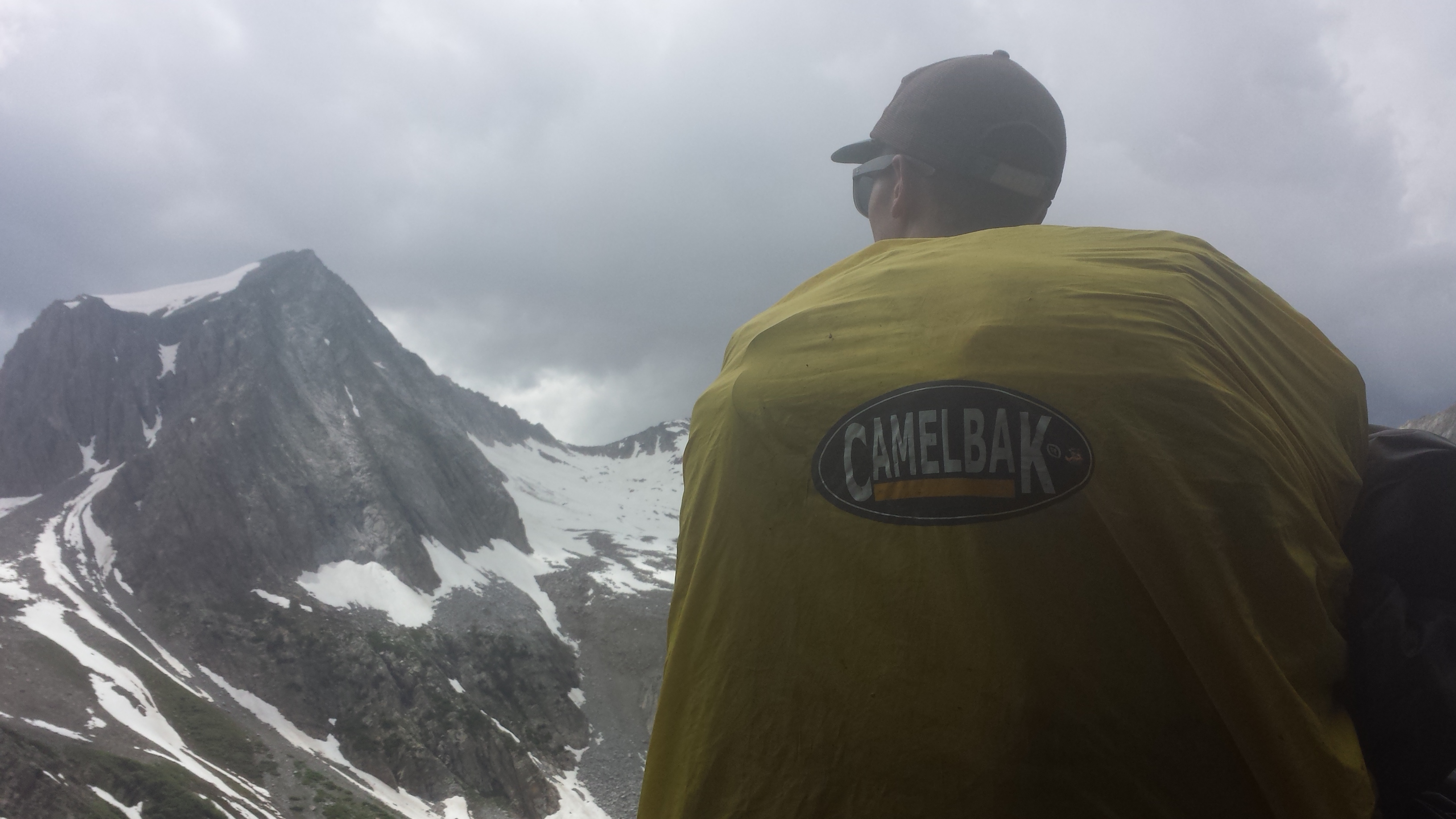
Obtained Frigid Air Pass with moments to spare and bolted down into the next stretch, aware it was several miles of alpine exposure and the skies were not exactly sounding friendly.
 We all stretched out our stride. Finding an anxious exuberance in the race to safety. Pausing to regroup and make decisions, we opted for some trees on a dry land bar across the meadow from where North Fork Trail meets West Maroon Pass Trail.
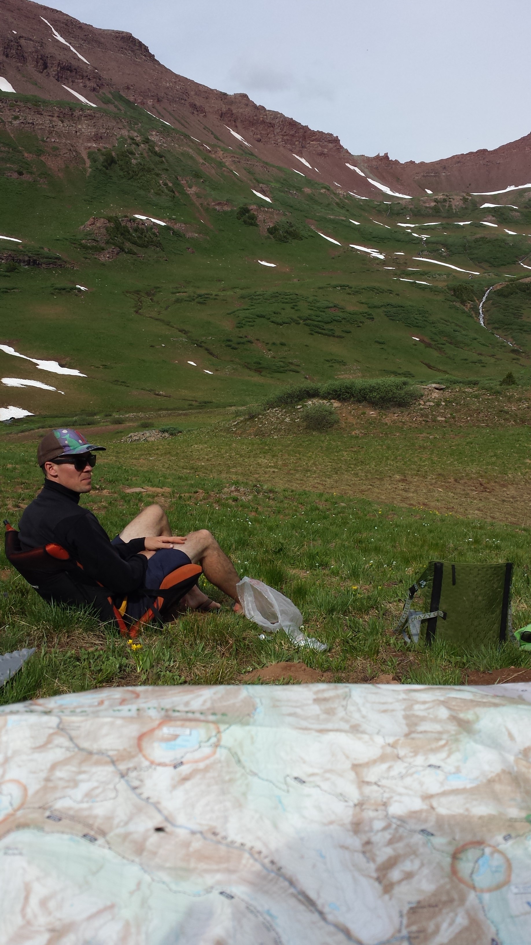
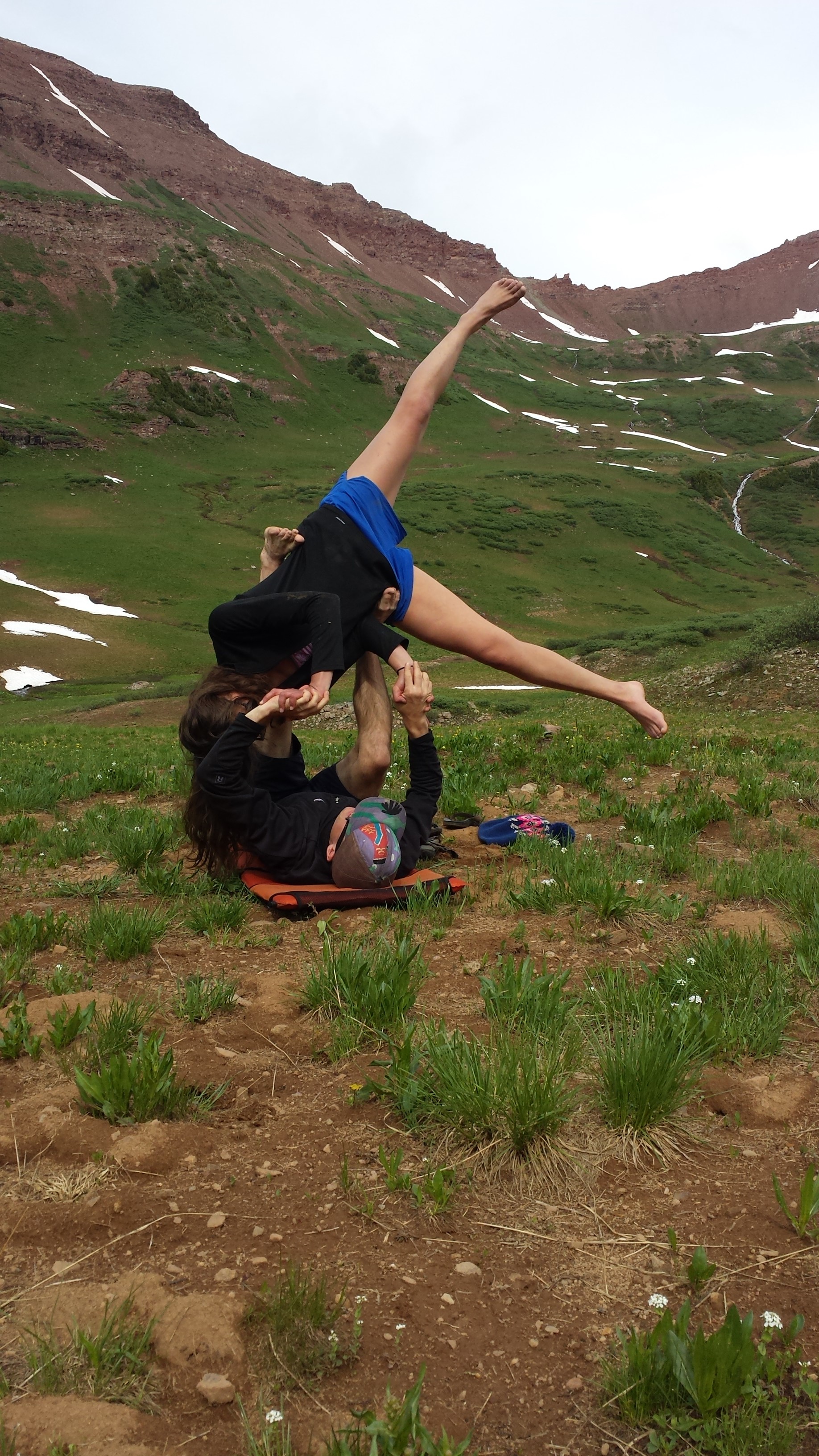
It turned out to be a lovely and relaxing evening, even if the clouds never entirely dispersed. After getting shelters set up we did some yoga, lake swimming, and a lot of conversating.
Group dynamics can define a hike and in this group our whole was greater than the sum. I reveled in the time with my friends, knowing such opportunities will be few and far between in the coming years.
 Finished dinner just as it began to rain. Tucked into bed by 7:30.
We were all spent after a 4th of July well spent.
Listening to the rain patter on Chazzz’z tent, grateful for the country I am from, for the land on which it sits and those who protect and preserve it, that we may revel in it and always learn to better respect it.
The next morning we were back up and at it. Again broke camp quickly, climbed to West Maroon Pass (elevation 12,500 ft).
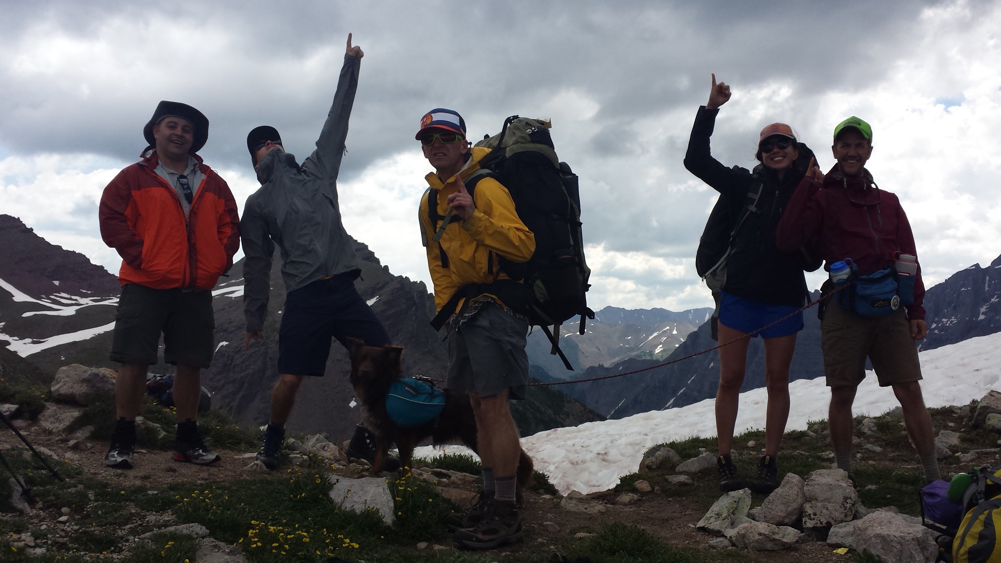
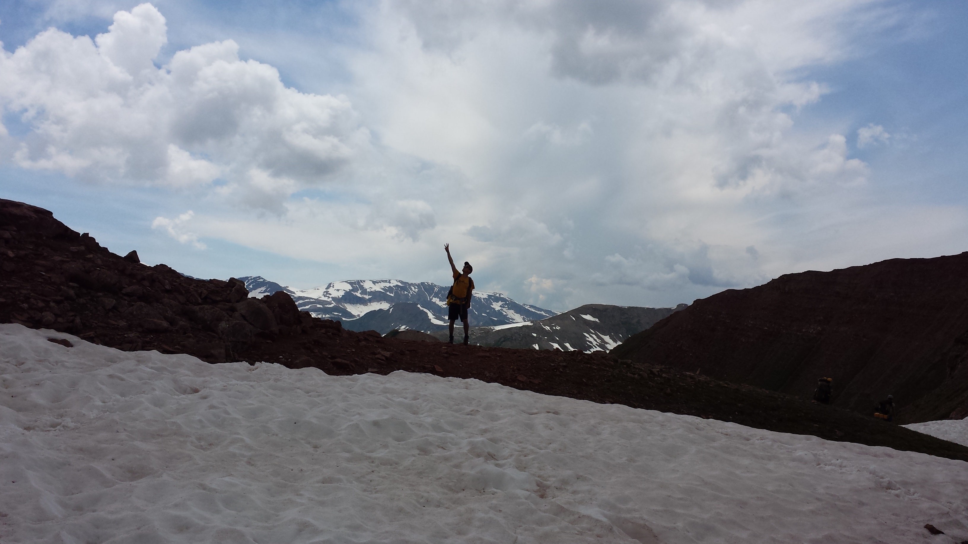
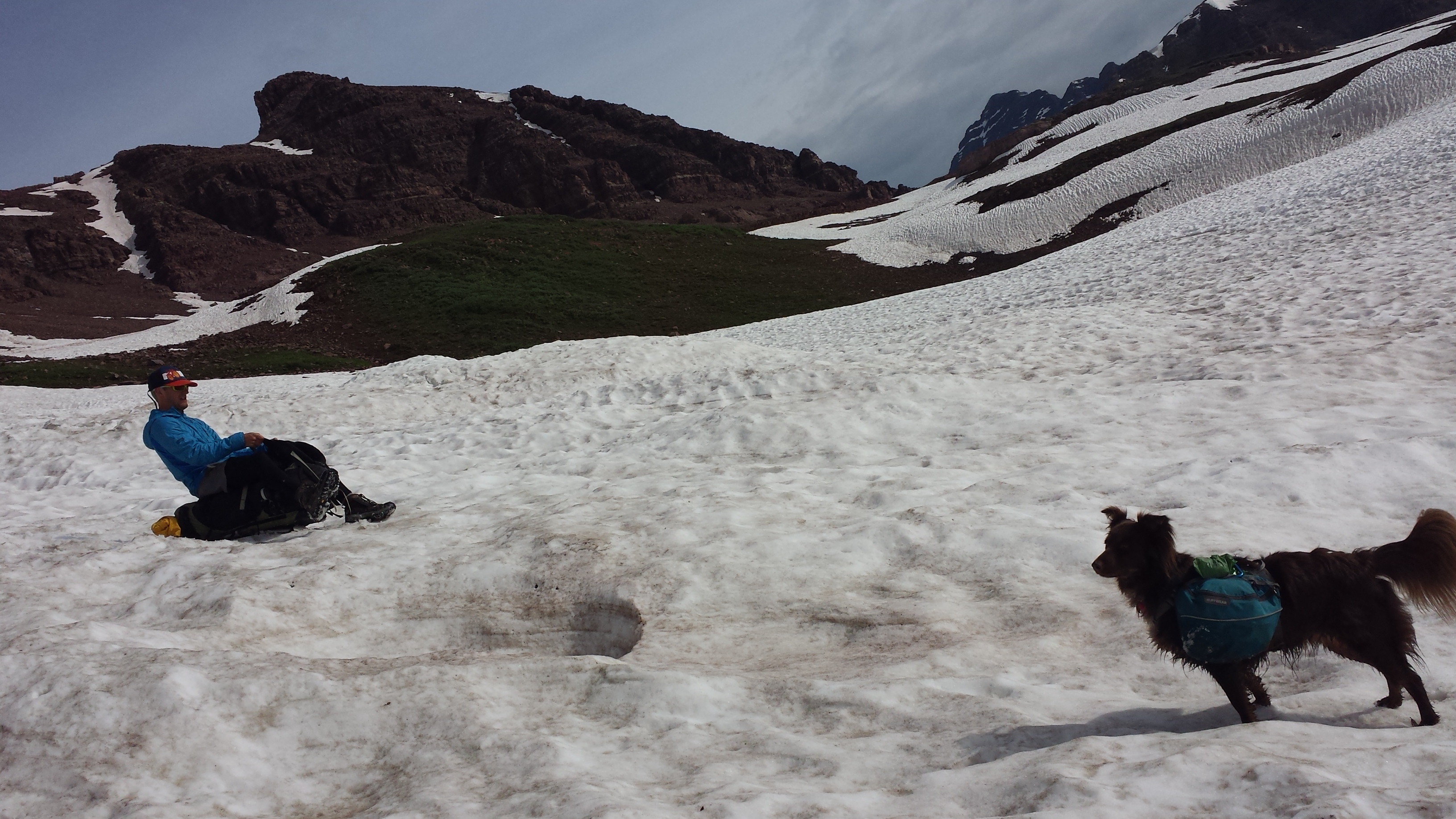
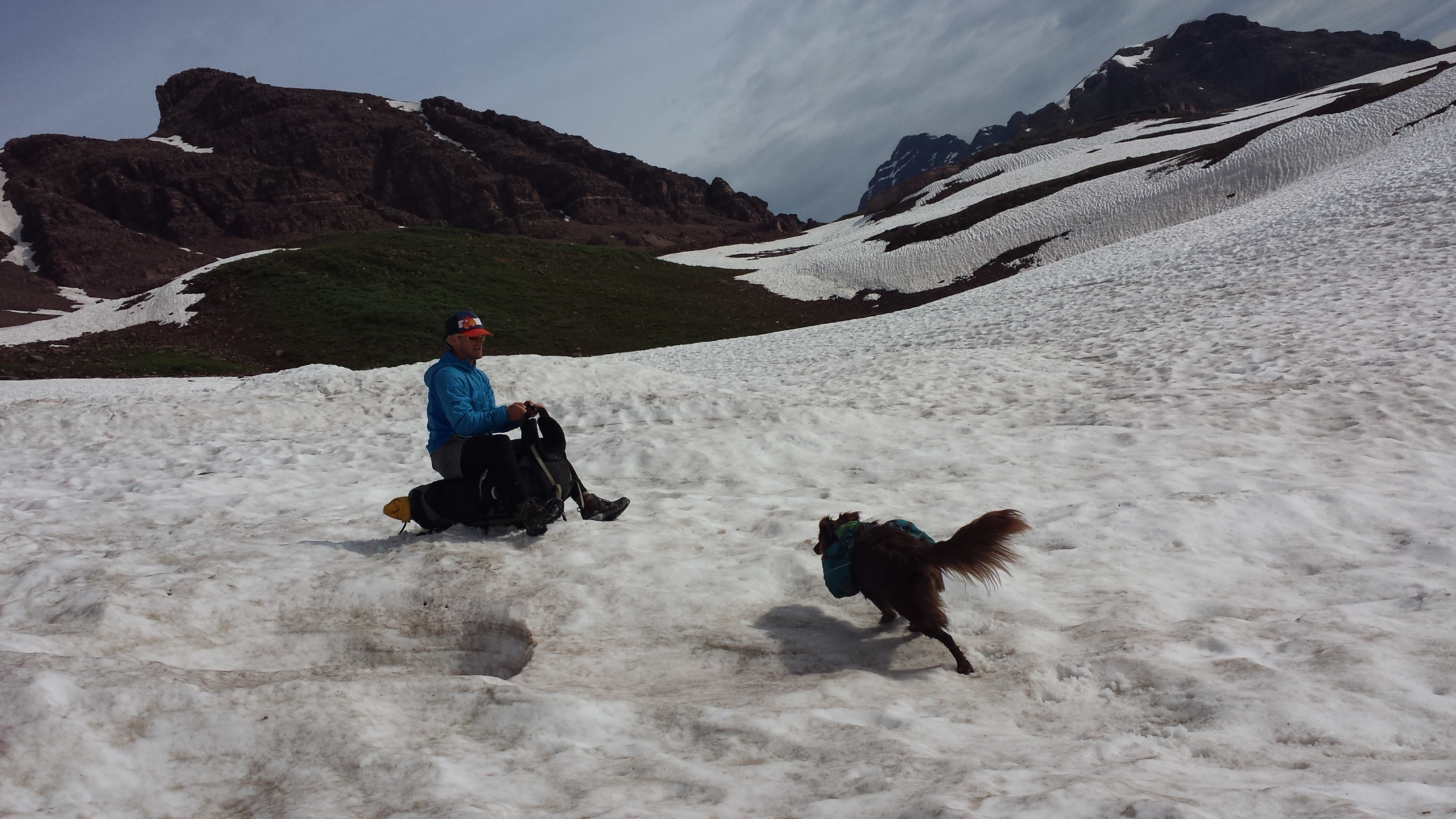
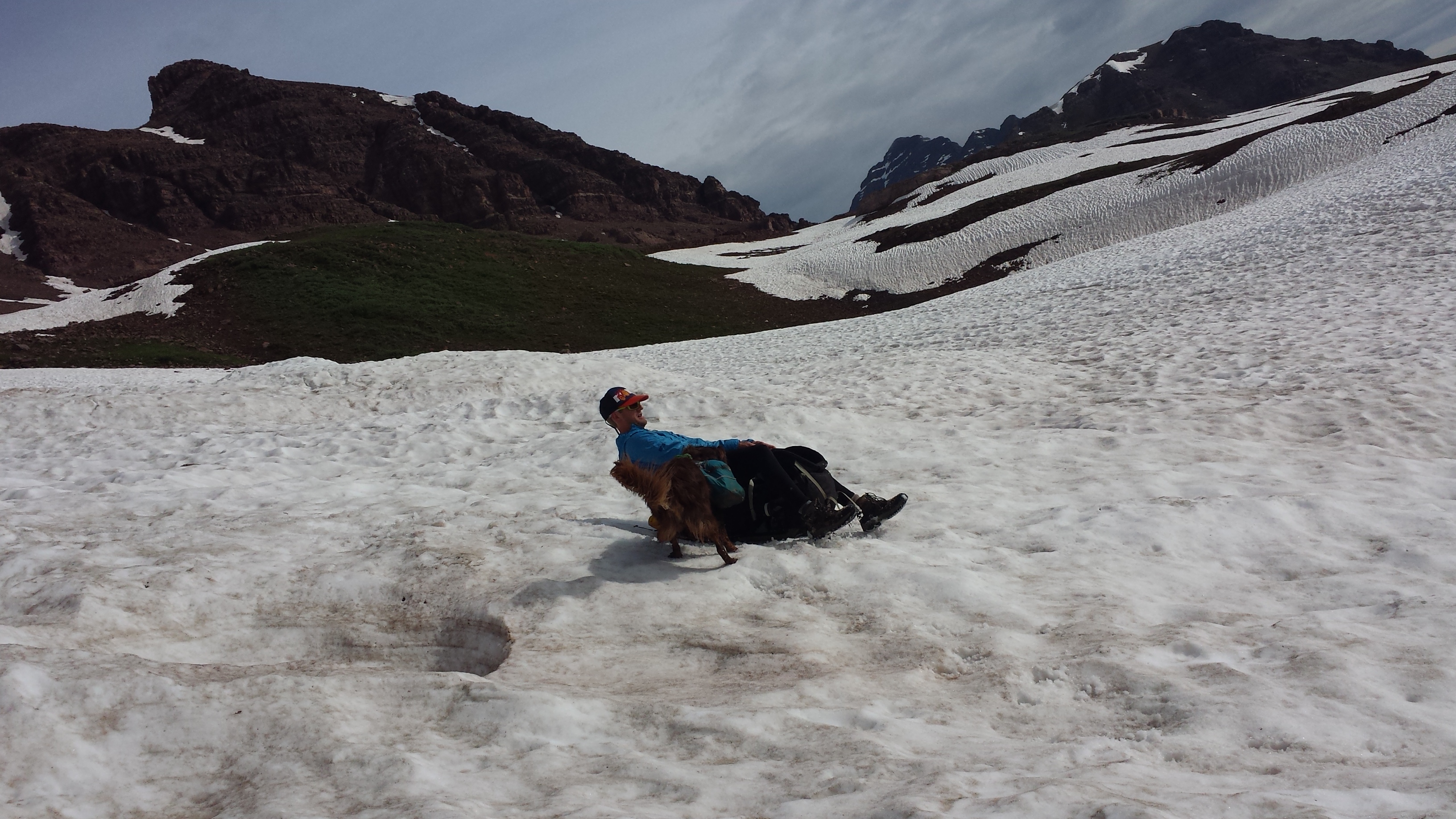
 As we all made it to the top, it marked the last of the climbing for this loop. We whooped and high-fived. Then began to carefully navigate down the lose red scree and mud up top then traversed the snow fields with all due caution.
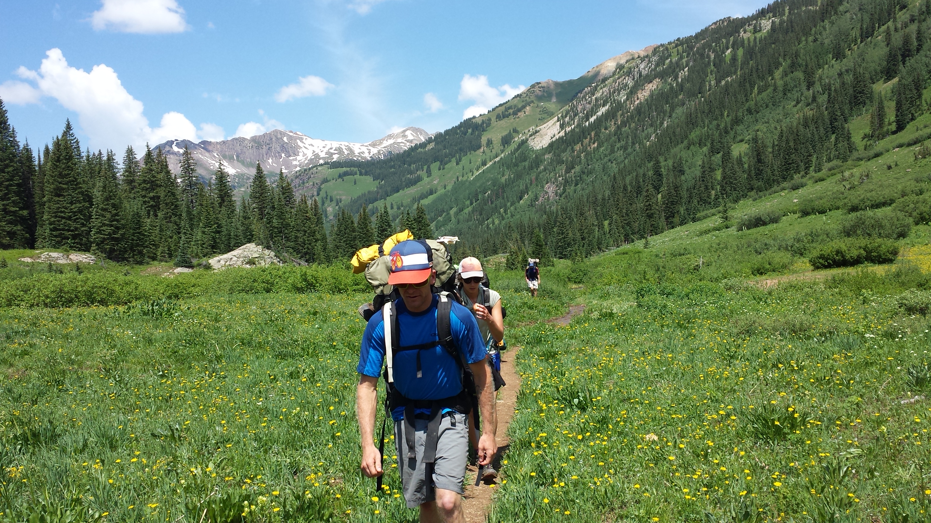
 The last 5 miles down were all but a victory lap. A couple of the wetter stream crossings, some of the slicker and more torn up trail on the entire loop and markedly more folks.
I highly recommend this hiking loop, both for the incredible views and physical challenge. Do be aware that you are in a heavily used Wilderness area and it is up to each of us to preserve these incredible landscapes and experiences.
So, pack it in, pack it out.
Stay on the trail, even when wet.
People heading uphill have the right of way.
Be conscientious of other visitors, wildlife, and the land itself.


Comments (3)
wow. sounds glorious. Always wanted to see the Maroon Bells. Someday…
Bummer about your busted bladder! But you showed resiliency and captured the glory of that trail in your photos and captions.
Pingback: Summer Summary: Thus far | bethanyhughes