Written by Neon
Haz clic aquí para leer en español
Leaving Queñes, we began a routine that would carry us through the rest of the investigatory sections of the Greater Patagonia Trail. The general pattern is: leave town on a road, go up a valley to a pass, over a pass or so, and back down a valley to a road that goes into our next town.
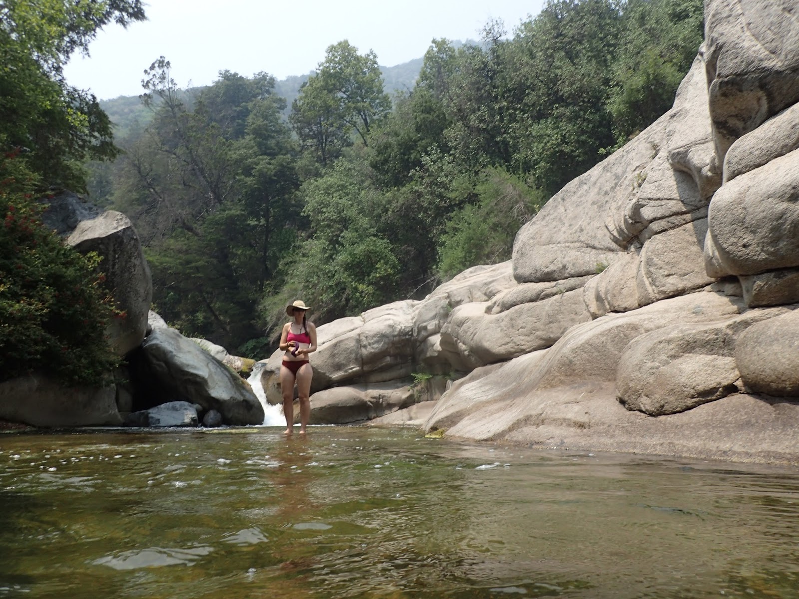
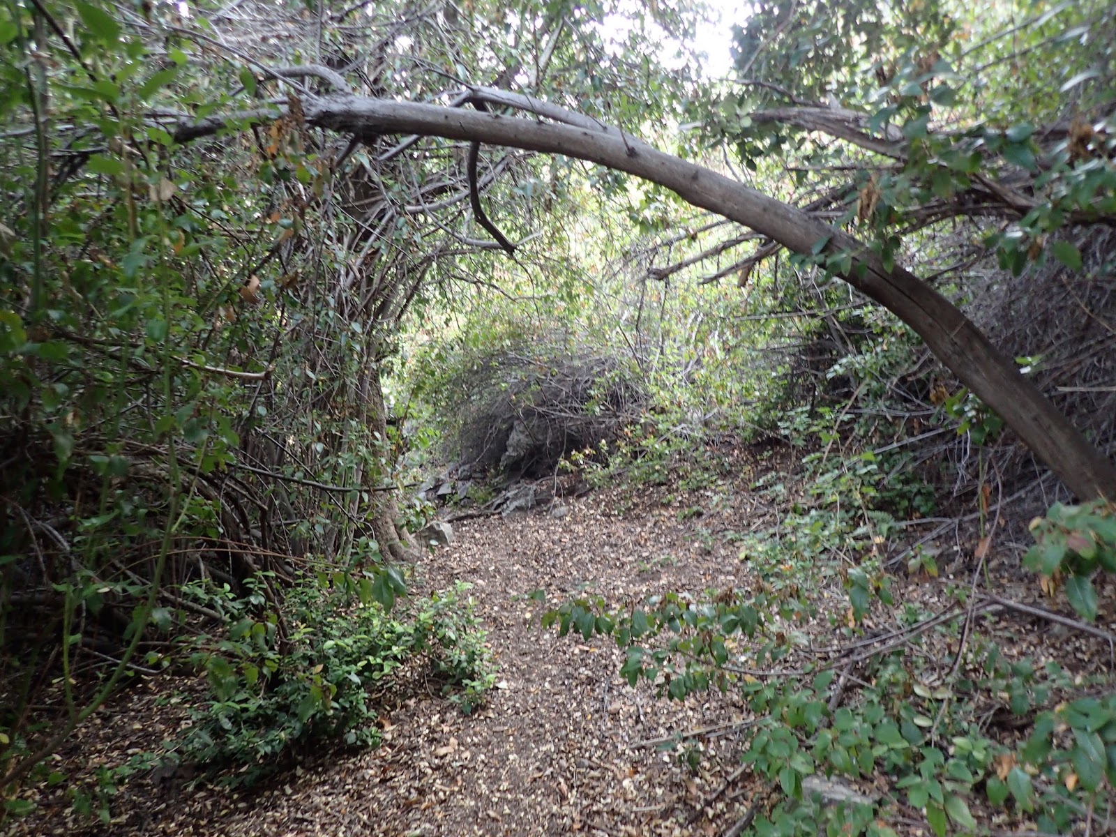
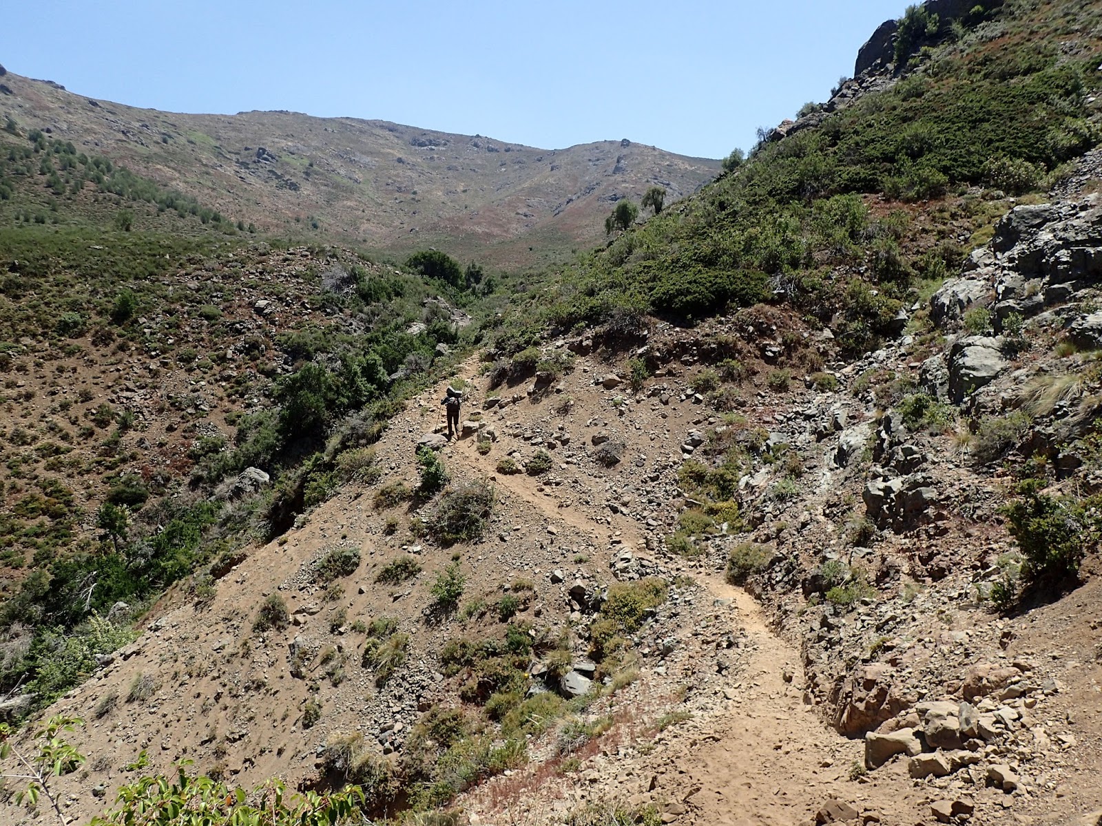
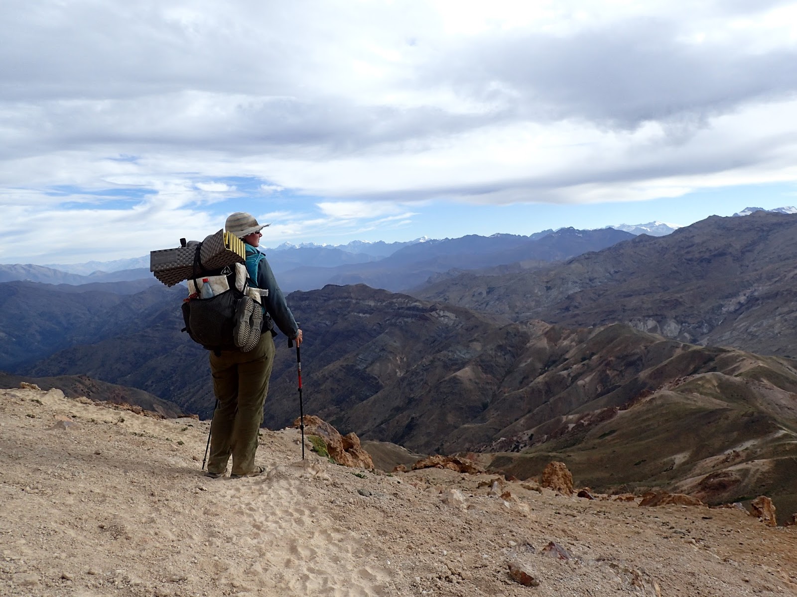
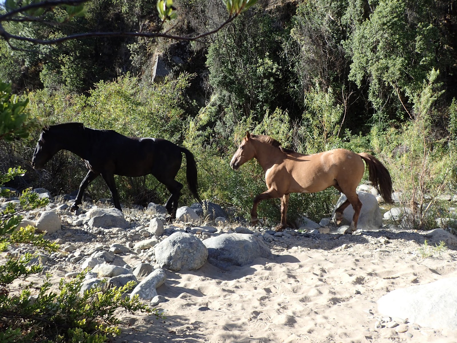
From the road out of Queñes, we walked through a friendly gentleman’s property, and then began following a stream uphill into the valley it had formed over the millenia. We were still in a fog of firesmoke during a heat wave, so the breathing was difficult, as the air was thick with smoke and humidity. We were happy to stop for lunch at a well-kept campsite where we were told by some locals about the swimming hole nearby. We jumped in the water, and it was such sweet relief from the heat! After a well-enjoyed break, we continued up the valley following horse paths. We camped near treeline that night and continued up the valley in the morning. As we neared the first pass, the horse paths faded into harder to follow animal paths. We were able to continue above tree line and find intermittent paths that took us along the ridge line and down to another campsite.
The area was dry, being a ridge line, but we were able to find water as soon as we dropped down, so we camped for the night and went over the saddle in the morning, heading down another valley to a large river crossing. The river running along the base of the valley was swift moving and narrow with many rapids. We spent a good part of the morning walking along and deciding where to cross (The creator of the route had a couple of options marked on the route he shared with us). When I finally stepped into the water, I was grateful we had planned carefully and found a wider part of the river with smaller rapids. The water was still very strong where we crossed, and a coffee table-sized rock beneath the surface impeded my progress for a few moments. In the end, we were both able to get across safely and had lunch on the other side of the river in celebration.
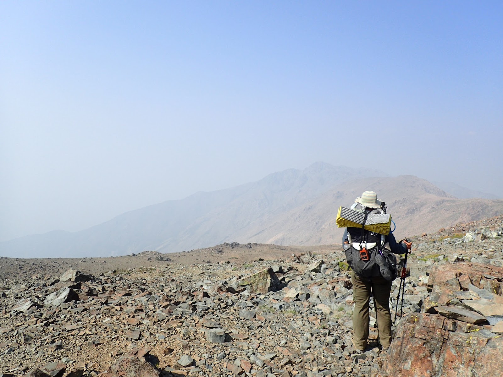
From the river crossing, we followed more horse/animal paths along a smaller river up another valley and were able to make it nearly to the last pass before town before setting up camp for the night. Waking up, the forest fire smoke that had been irritating our lung and mucus membranes for days seemed to have begun dissipating. Not altogether gone, but I could see more of the sky as we progressed the rest of the way up to the passes we would cross. Again nearing the passes, the horse trail faded at about treeline, though we had become accustomed to changes/disappearances in trail and found our way to the first pass, and then 200 meters down and up to the second pass. Following well-worn animal path, we made it to the third pass, up, over, and down to a beautiful valley and well-worn horse path that led us into the small community of Las Peñas.
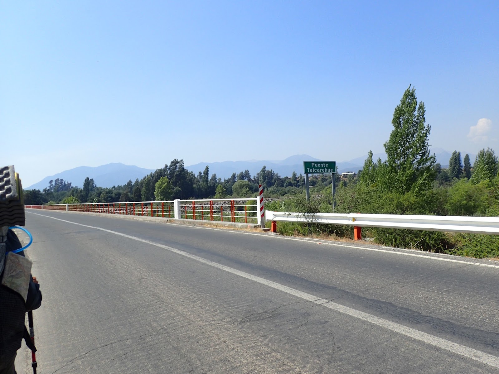
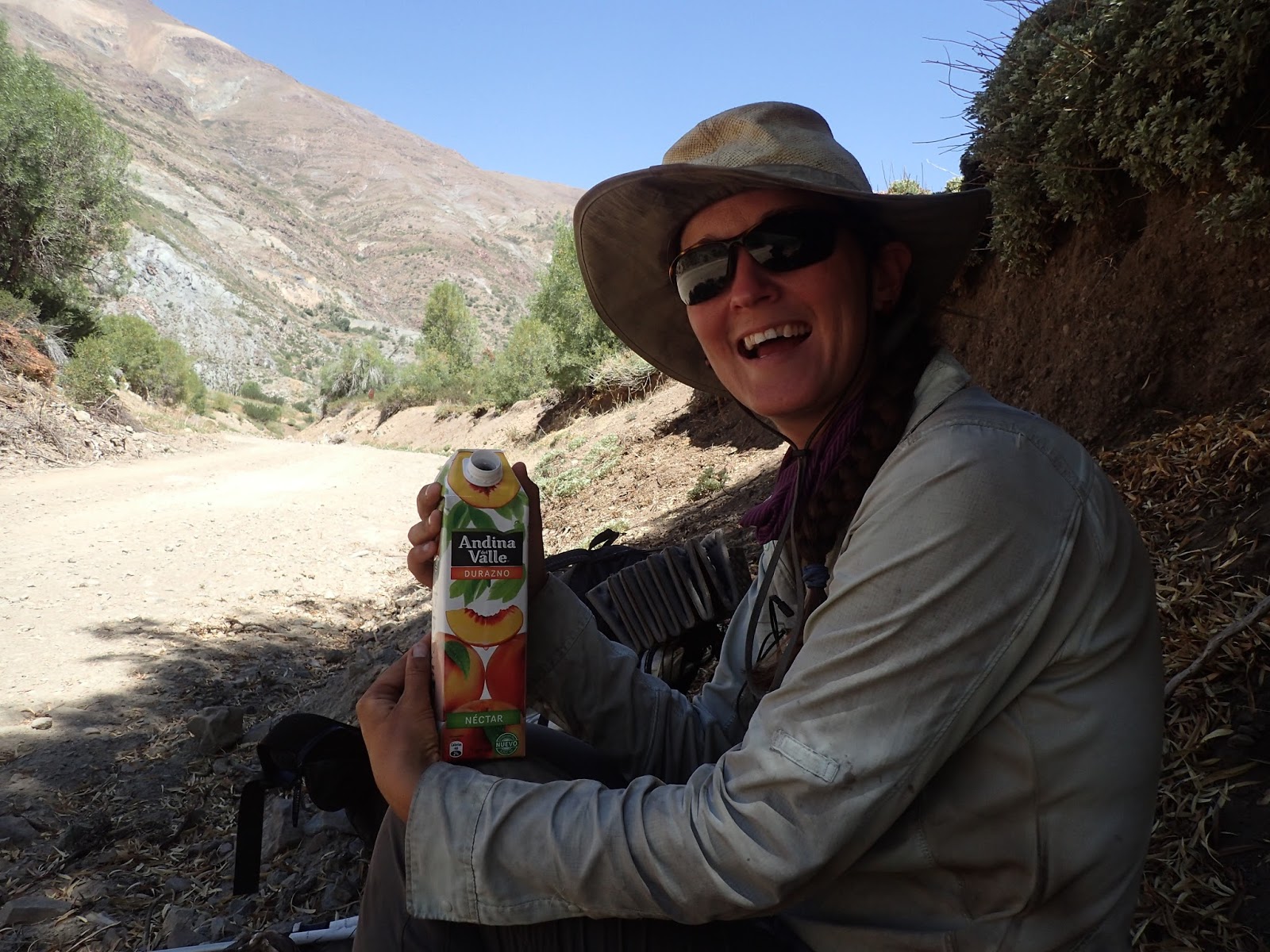
After a short town stay to resupply and use the internet to connect with people, we moved on, road walking through Puente Negro and Agua Buena to our next valley. There are times when we feel like we’re in the middle of nowhere, and there are times we notice more human ‘prints’ through areas – this valley was one of the latter. As we walked further into the valley, the signs of humanity dissipated and we climbed up (you guessed it) to a pass. We were concerned about water as we ascended, so we were sure to fill up before the stream ended. Investigating these routes north of the ‘official’ GPT reminded us at least every day how nice it was to have a route that someone else had investigated for us while preparing us for the rest of this trip (route finding, mapping, not taking water for granted). We continued up and over the pass, bush-bashing our way through after the animal trail faded out.
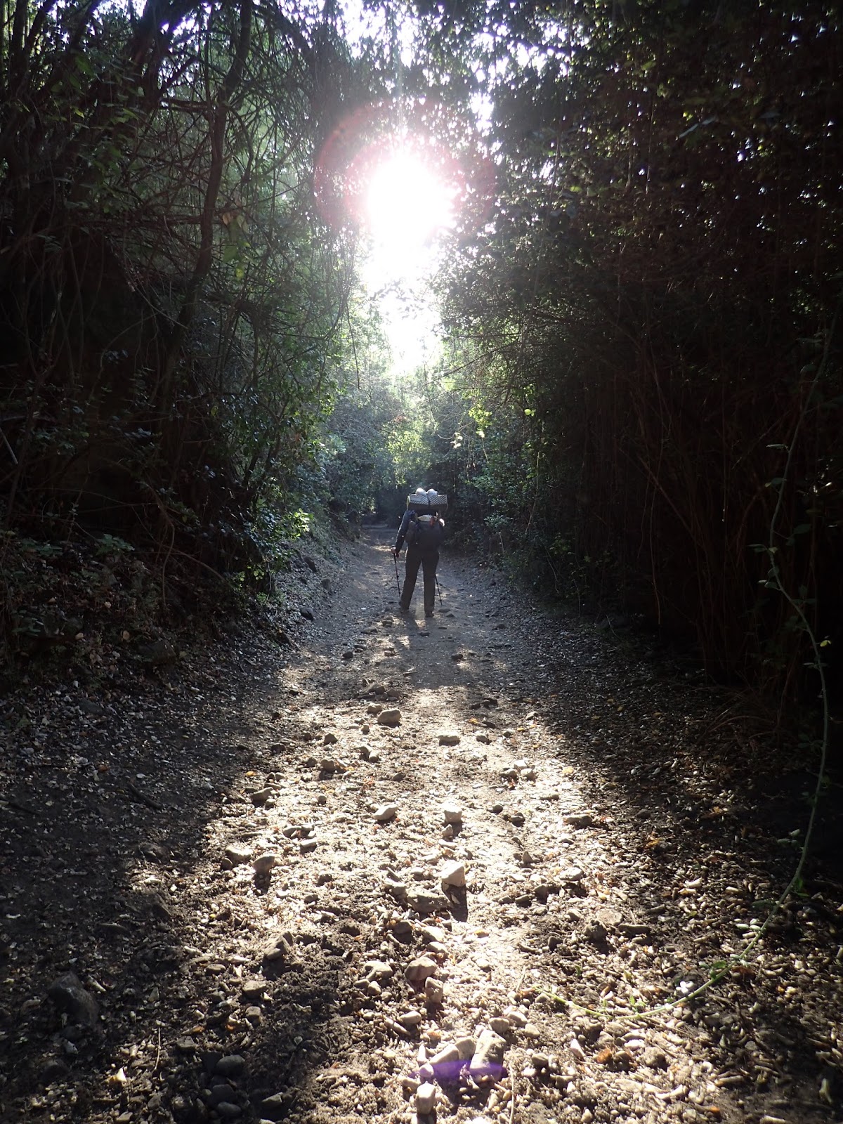
We descended the other side of the pass, and again walked for a few kilometers without trail before discovering an old campsite. We found horse trail from the campsite that we were able to follow the entire way (about a day’s walk) down the valley. The horse trail took us along the mountainside and past a couple of well-worn camp sites before it spat us out onto the road which led us into the town of Coya. We caught a bus from Coya to meet some people in Santiago.
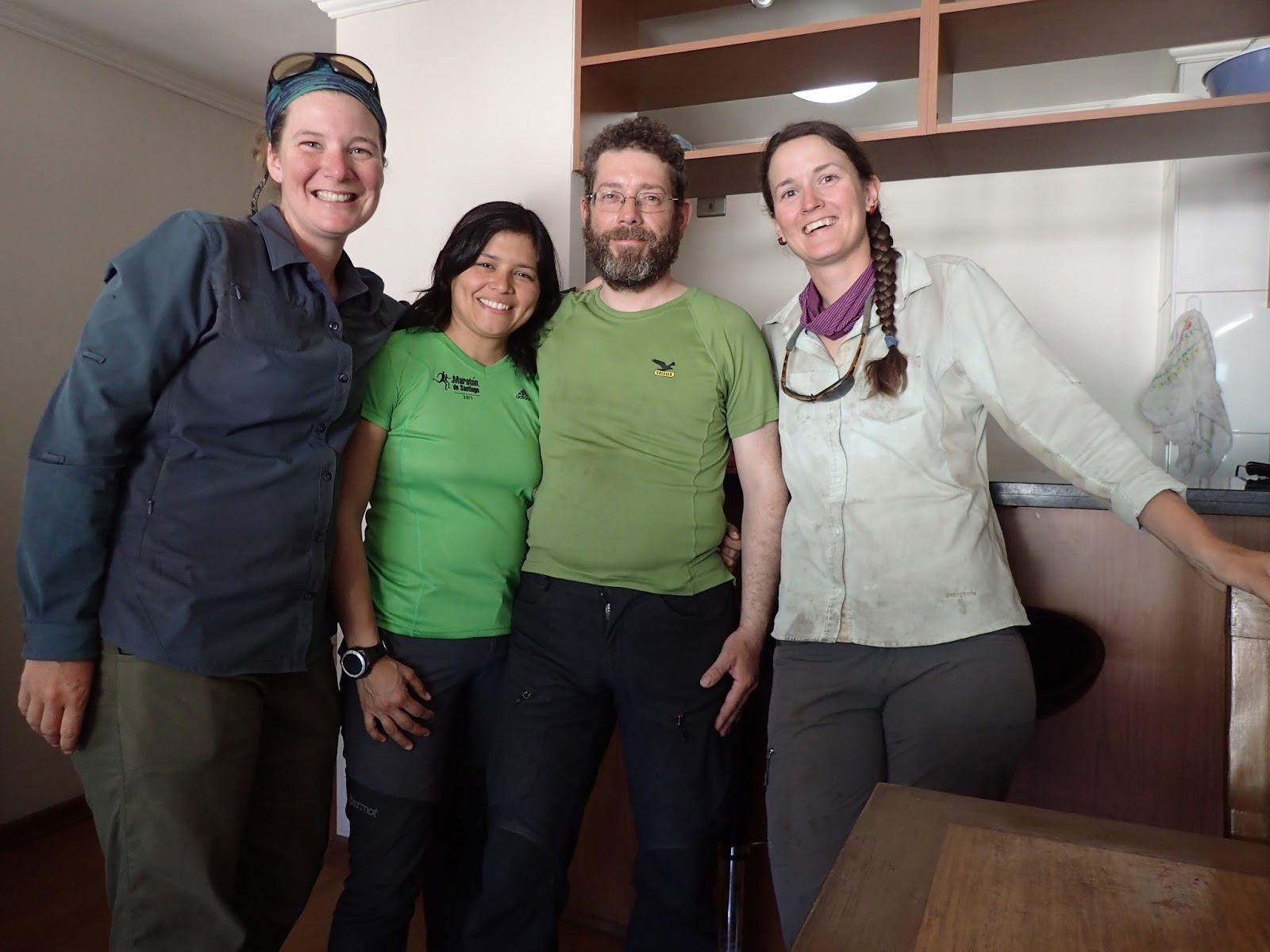
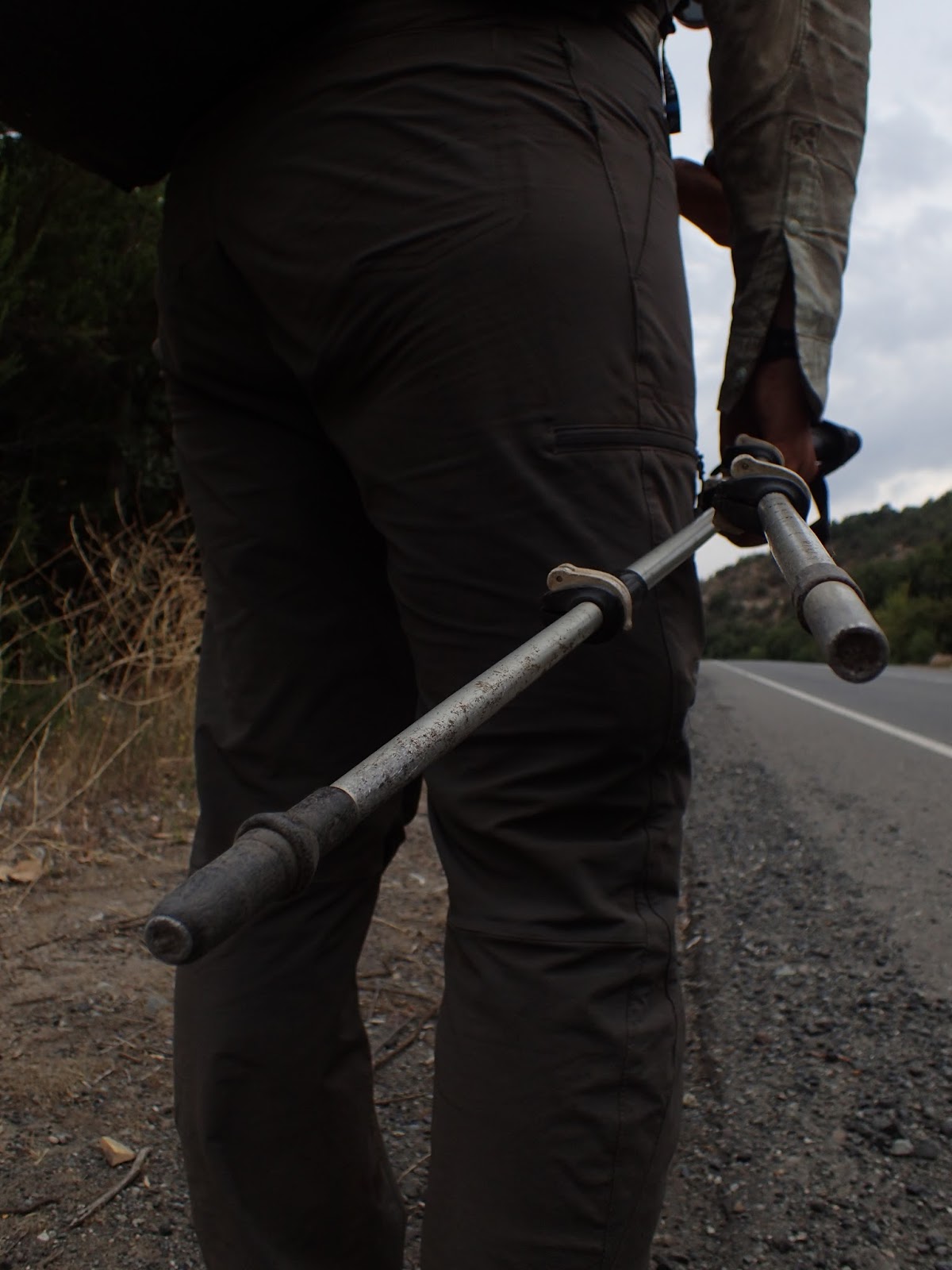
Making it into Santiago by bus, we met up with some friends of Fidgit’s that had offered to bring some goodies down for us – thanks for the pole tips, new gadgets, and goodies, Matt, Mike, and Chris!! After hanging out with those guys and getting semi-cleaned up, we went to meet (in person finally!) Jan and Meylin, the creators/initial explorers of the GPT, who were only in Santiago for a short time. We were able to spend a full day and a half with all of these people in Santiago before bussing back down to Coya.
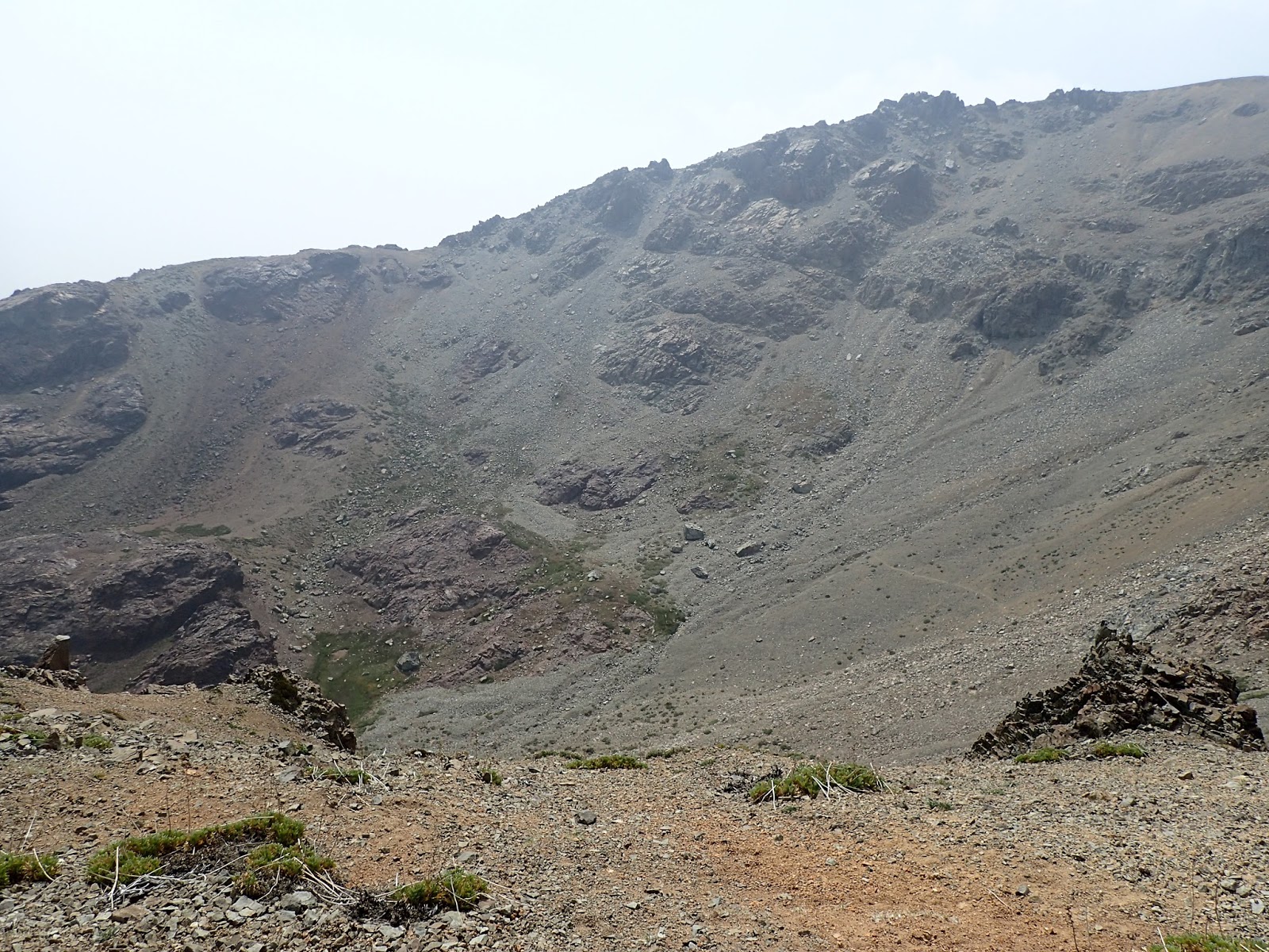
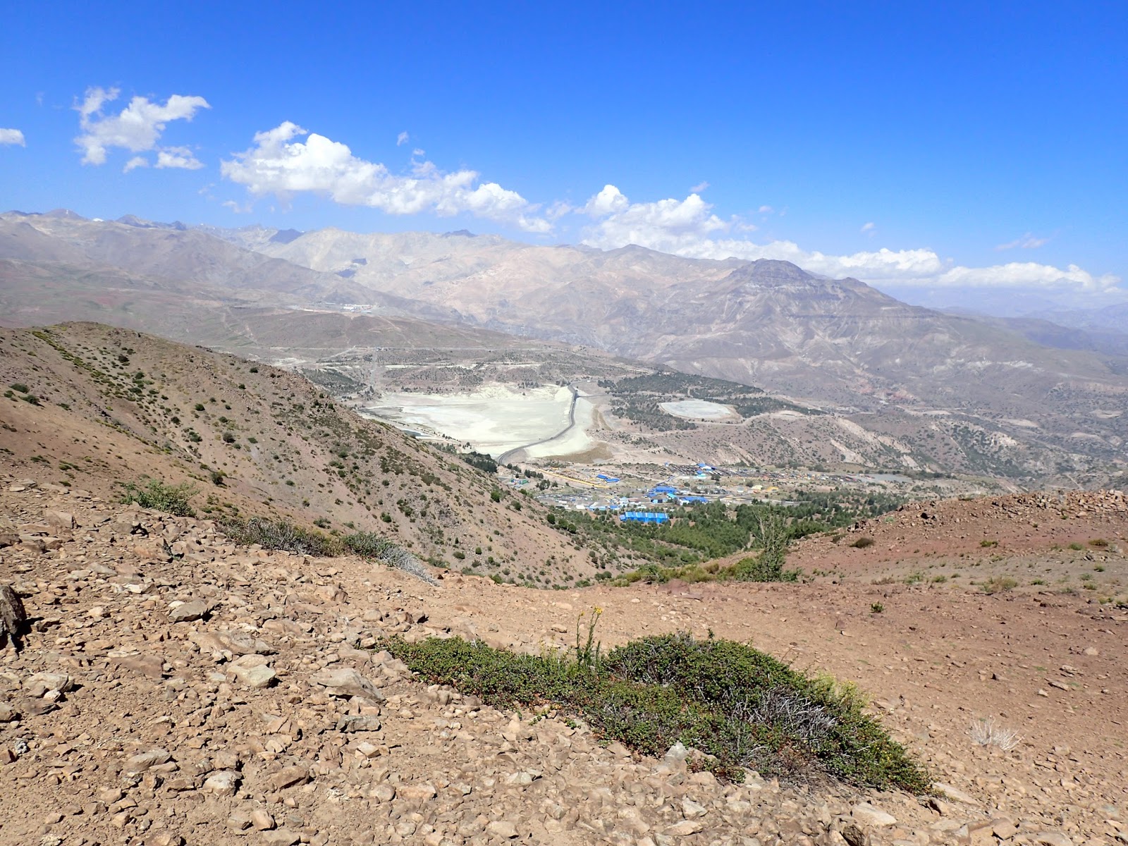
Returning to the trail after our first day off since Talca (nearly a month before) was difficult, but we were still determined to make it to Santiago on foot before we allowed ourselves a proper rest. We knew a dry ridge walk was our next challenge so we made sure to fill up our waters. As we ascended and followed the ridge, we slowly got to see the extent of why we had to go to the ridge – one of Chile’s largest copper mines was nestled in the valley below. We traversed the ridgeline all day, slowly draining our water before making the descent past a retaining pond to follow a road.
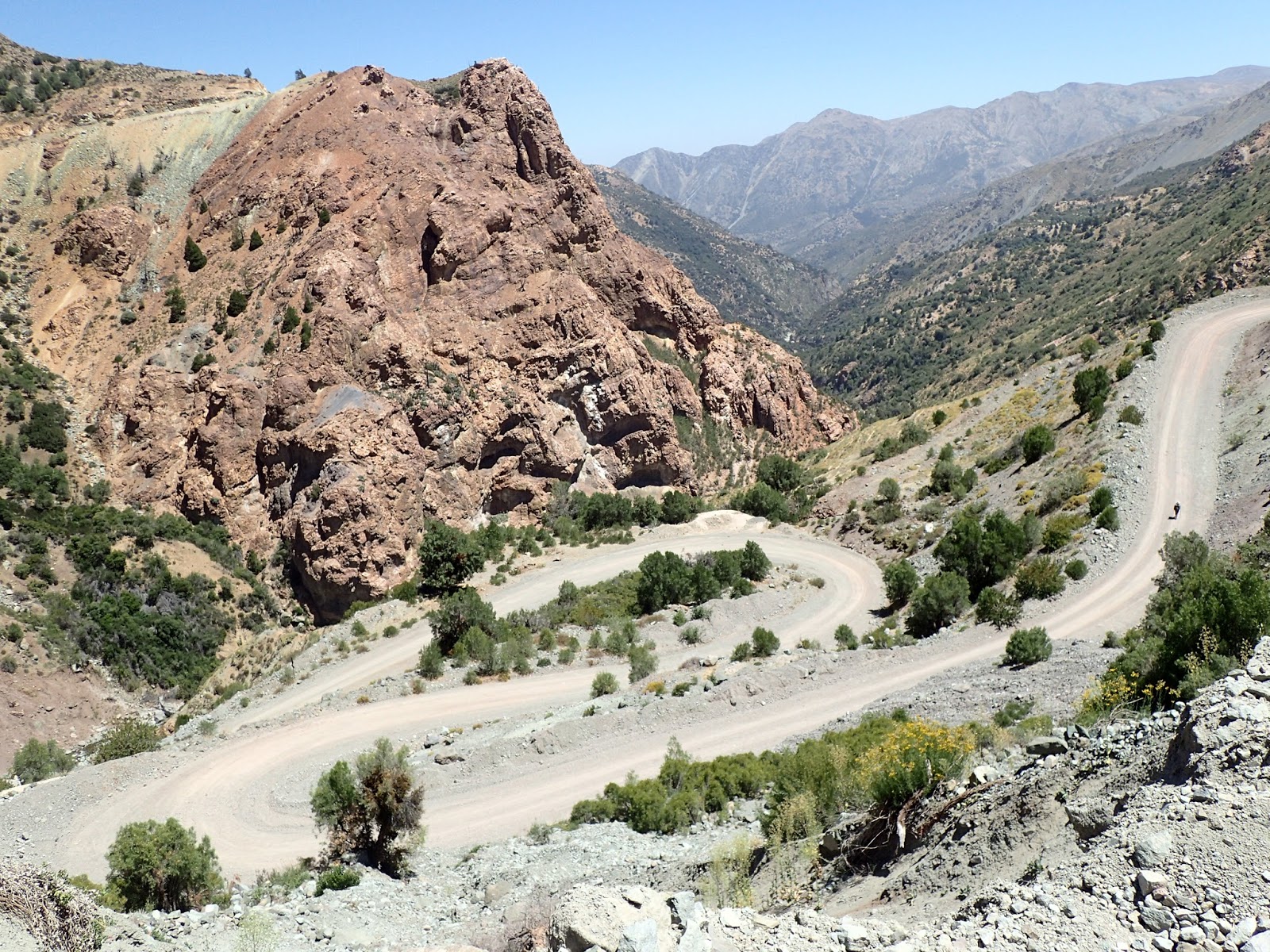
This was right about the time we had both run out of water, so we were eyeing the pond, but its mass of deposits from the mine deterred us. We were able to walk a few more kilometers and find a small stream not coming out of the mine to fill our water containers with. After a night’s rest, we followed the road the mine was building, up and up, to our highest pass yet. As we walked along the road, multiple trucks stopped; the workers inside the vehicles offered us water, fruit, and even their sandwiches from their lunch.
We made it up and over the 3,200 meter pass and worked our way down into Reserva Rio Clarillo, where we found an easy to follow horse path along the valley. As we neared the entry most people would be coming through, the main gate, we were stopped by a couple of young men. They worked for the reserve and asked us how we had come through. When we told them, they relayed that the park was closed because of the fires along the coast, so to leave ASAP because we were in the park illegally. As we were already on our way out, Fidgit and I had no trouble finding our way to the entry gate and walking down the road past two more groups of park workers who were re-routing people. They were all quite genial, and we made it to our road walk without incident.
Road walking into the city of Santiago was very different than it would have been in the states. The campo pretty much abuts the city with a small village in-between. There were no sprawling suburbs filled with McMansions and strip malls; there were no shady characters leering from the edges of shadows. Instead, there were people out walking their dogs, talking to their neighbors, and riding their horse into town. As soon as we crossed the bridge into Puente Alto, the city began. People were everywhere, selling wares, walking along the wide sidewalks, doing whatever it is city people do. Fidgit and I walked straight to the subway station and hopped on the subway towards where we would be staying. We had just walked from the southern tip of South America (near Ushuaia, Argentina) to Santiago, Chile!

Click here to visit Neon’s Blog Page
Queñes a Las Peñas ya través de Puente Alto, AKA Oficialmente llegando a Santiago a pie!
Escrito por Neon
Traduccion por Henry Tovar
Dejando Queñes, comenzamos una rutina que nos llevaría por el resto de las secciones de investigación del Camino de la Gran Patagonia. El patrón general es: dejar la ciudad en una carretera, subir un valle a un paso, sobre un paso o así, y bajar un valle a un camino que va a nuestro próximo pueblo.
Desde la carretera de Queñes, caminamos por una propiedad de un caballero amistoso, y luego comenzamos a seguir un arroyo cuesta arriba en el valle que se había formado durante los milenios. Todavía estábamos en una niebla de fuegos de humo durante una ola de calor, por lo que la respiración era difícil, ya que el aire estaba lleno de humo y humedad. Estábamos felices de parar para almorzar en un camping bien cuidado donde nos dijeron que algunos lugareños sobre el agujero de natación cerca. Saltamos en el agua, y fue tan dulce alivio del calor! Después de un descanso bien disfrutado, continuamos por el valle siguiendo sendas de caballos. Acampamos cerca de treeline esa noche y continuamos por el valle por la mañana. Cuando nos acercamos al primer paso, los caminos del caballo se desvanecieron para seguir los caminos de los animales. Pudimos continuar por encima de la línea del árbol y encontrar caminos intermitentes que nos llevó a lo largo de la línea de cresta y hacia abajo a otro campamento.
La zona estaba seca, siendo una línea de cresta, pero pudimos encontrar agua tan pronto como nos dejó caer, así que acampamos por la noche y fuimos por la silla de montar en la mañana, dirigiéndonos hacia otro valle a un gran cruce de río. El río que corría a lo largo de la base del valle era rápido y estrecho con muchos rápidos. Pasamos una buena parte de la mañana caminando y decidir dónde cruzar (El creador de la ruta tenía un par de opciones marcadas en la ruta que compartió con nosotros). Cuando finalmente entré en el agua, estaba agradecido que habíamos planeado cuidadosamente y encontramos una parte más ancha del río con rápidos más pequeños. El agua seguía siendo muy fuerte donde cruzamos, y una roca de tamaño de mesa de café debajo de la superficie impidió mi progreso por unos momentos. Al final, ambos pudimos cruzar con seguridad y almorzamos al otro lado del río en celebración.
Desde el cruce del río, seguimos más caballo / animales caminos a lo largo de un río más pequeño hasta otro valle y pudimos hacer que casi hasta el último paso antes de la ciudad antes de establecer el campamento para la noche. Al despertar, el humo del fuego del bosque que había estado irritando nuestras membranas de pulmón y mucosidad durante días parecía haber comenzado a disiparse. No todo desapareció, pero pude ver más del cielo mientras avanzábamos el resto del camino hasta los pasos que cruzaríamos. Una vez más cerca de los pasos, el sendero de caballos se desvaneció a la altura de la línea de árboles, aunque nos habíamos acostumbrado a los cambios / desapariciones en el camino y encontramos nuestro camino hasta el primer paso, y luego 200 metros abajo y hasta el segundo paso. Siguiendo el camino de los animales bien llevados, llegamos al tercer paso, arriba, arriba y abajo, hasta un hermoso valle y el camino de caballos bien llevado que nos llevó a la pequeña comunidad de Las Peñas.
Después de una corta estancia en la ciudad para reabastecer y usar el Internet para conectar con la gente, nos trasladamos, camino caminando por Puente Negro y Agua Buena a nuestro próximo valle. Hay momentos en que nos sentimos como si estuviéramos en medio de la nada, y hay veces que notamos más huellas humanas a través de las áreas – este valle fue uno de los últimos. A medida que avanzábamos hacia el valle, las señales de la humanidad se disiparon y subimos (lo adivinaste) a un paso. Estábamos preocupados por el agua mientras ascendíamos, así que estábamos seguros de llenar antes de que la corriente terminara. Investigar estas rutas al norte de la GPT “oficial” nos recordó al menos cada día lo agradable que era tener una ruta que alguien más había investigado para nosotros mientras nos preparaba para el resto de este viaje (ruta de encontrar, la cartografía, no tomar agua para concedido). Seguimos subiendo y bajando el paso, arrasando nuestro camino después de que el sendero animal se desvaneciera.
Descendimos al otro lado del paso y caminamos nuevamente unos cuantos kilómetros sin rastro antes de descubrir un antiguo campamento. Encontramos sendero de caballos desde el campamento que pudimos seguir todo el camino (a un paseo de un día) por el valle. El sendero de caballos nos llevó a lo largo de la ladera de la montaña y pasado un par de bien gastados sitios de campamento antes de escupirnos en la carretera que nos llevó a la ciudad de Coya. Cogimos un autobús de Coya para conocer a algunas personas en Santiago.
Haciéndolo en Santiago en autobús, nos reunimos con algunos amigos de Fidgit que se había ofrecido a traer algunas golosinas para nosotros – gracias por los consejos de polo, nuevos gadgets, y golosinas, Matt, Mike y Chris! Después de salir con esos chicos y de ser semi-limpiado, fuimos a conocer (en persona, por fin!) Jan y Meylin, los creadores / exploradores iniciales de la GPT, que sólo estuvieron en Santiago por un tiempo corto. Hemos sido capaces de pasar un día completo y medio con todas estas personas en Santiago antes bussing volver a Coya.
Volver a la pista después de nuestro primer día de descanso desde Talca (casi un mes antes) fue difícil, pero todavía estábamos decididos a llegar a Santiago a pie antes de que nos permitimos un buen descanso. Sabíamos que un paseo seco de la cresta era nuestro desafío siguiente así que nos cercioramos de llenar para arriba nuestras aguas. A medida que ascendíamos y seguíamos la cresta, lentamente llegamos a ver la extensión de por qué tuvimos que ir a la cresta – una de las minas de cobre más grandes de Chile estaba anidada en el valle de abajo. Atravesamos la cresta durante todo el día, drenando lentamente nuestro agua antes de hacer el descenso pasado un estanque de retención para seguir un camino. Esto era justo sobre el tiempo que nos habíamos quedado sin agua, así que estábamos mirando el estanque, pero su masa de depósitos de la mina nos disuadió. Pudimos caminar unos cuantos kilómetros más y encontrar una pequeña corriente que no salía de la mina para llenar nuestros contenedores de agua. Después de una noche de descanso, seguimos el camino que la mina estaba construyendo, arriba y arriba, hasta nuestro más alto paso todavía. Mientras caminábamos por la carretera, varios camiones se detuvieron; Los trabajadores dentro de los vehículos nos ofrecieron agua, fruta, e incluso sus sándwiches de su almuerzo.
Lo hicimos arriba y sobre el paso de 3.200 metros y trabajamos nuestro camino hacia abajo en Reserva Rio Clarillo, donde encontramos un camino de caballo fácil de seguir a lo largo del valle. Cuando nos acercamos a la entrada la mayoría de la gente estaría llegando a través, la puerta principal, nos detuvo un par de hombres jóvenes. Trabajaron para la reserva y nos preguntaron cómo habíamos venido. Cuando les dijimos, nos transmitieron que el parque estaba cerrado debido a los incendios a lo largo de la costa, así que para dejar lo antes posible porque estábamos en el parque ilegalmente. Como ya estábamos en camino, Fidgit y yo no tuvimos ningún problema para encontrar nuestro camino a la puerta de entrada y caminar por la carretera más de dos grupos de trabajadores del parque que estaban re-enrutamiento personas. Todos eran muy geniales, y llegamos a nuestro paseo por carretera sin incidentes.
Camino caminando hacia la ciudad de Santiago era muy diferente de lo que hubiera sido en los estados. El campo se acerca mucho a la ciudad con un pequeño pueblo en el medio. No había extensos suburbios llenos de McMansions y centros comerciales; No había ningún personaje sombrío mirando desde los bordes de las sombras. En su lugar, había gente paseando sus perros, hablando con sus vecinos, y montando su caballo en la ciudad. Tan pronto como cruzamos el puente hacia Puente Alto, la ciudad comenzó. La gente estaba por todas partes, vendiendo mercancías, caminando por las amplias aceras, haciendo lo que sea que la gente de la ciudad haga. Fidgit y yo caminamos directamente a la estación de metro y saltamos en el metro hacia donde nos alojaríamos. Habíamos caminado desde el extremo sur de América del Sur (cerca de Ushuaia, Argentina) a Santiago, Chile!

Comments (2)
You girls are awesome!!! We all should be as adventurous. I love following you girls.
Thank you, Jane! May you have many wonderful adventures ahead of you.