Haz clic aquí para leer en español
Written by Neon
We delayed leaving Sorata, because we were not excited for the multi-hundred meter climb in front of us. So, instead of leaving, we decided to have breakfast and lunch at the same restaurant and then hike out with very full stomachs. Going uphill. In the middle of the day. Can you see where this is going? I did not fare well, and ended up losing about half of what I had eaten in an unfortunate vomiting incident. We ended up hiking into the night to get to a place flat enough to set up our tent and pass out.
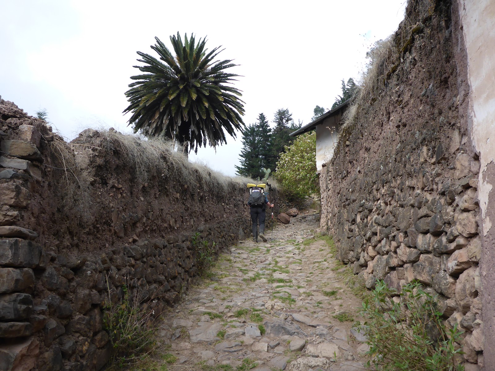
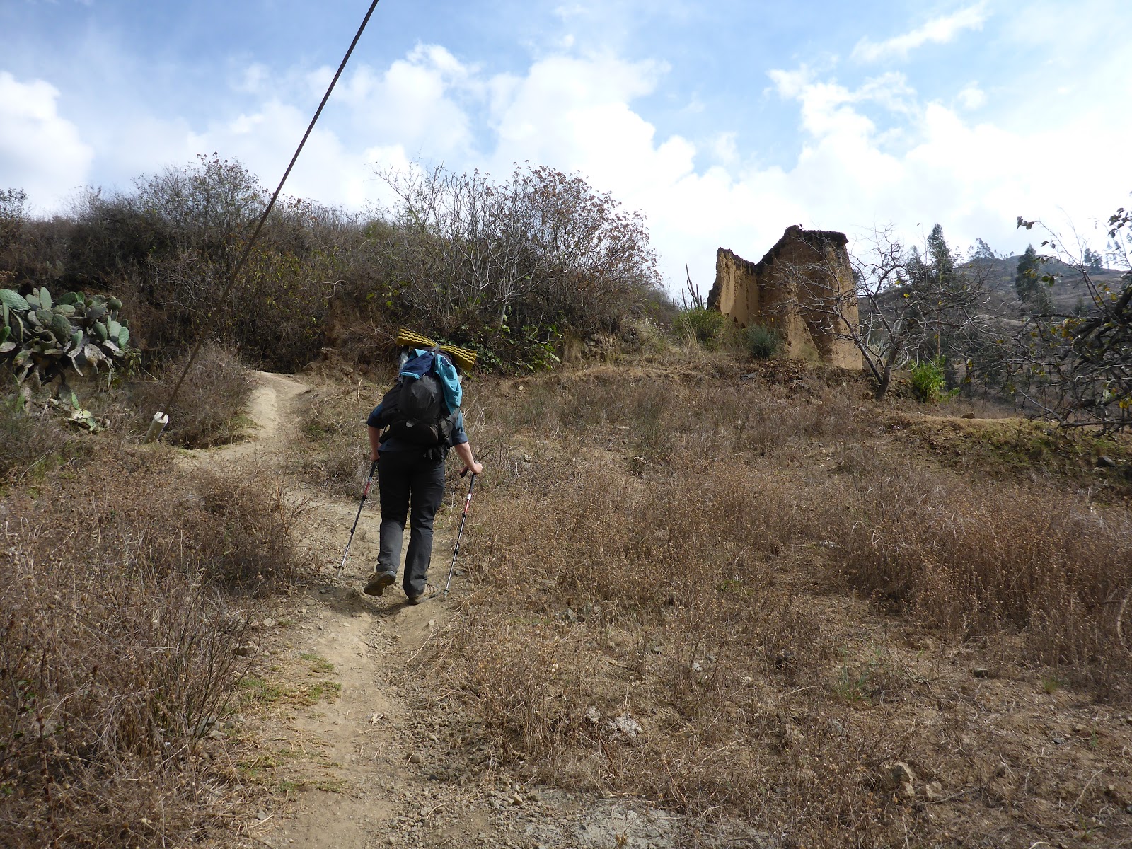
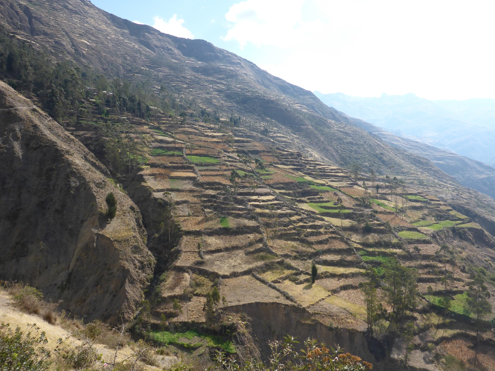
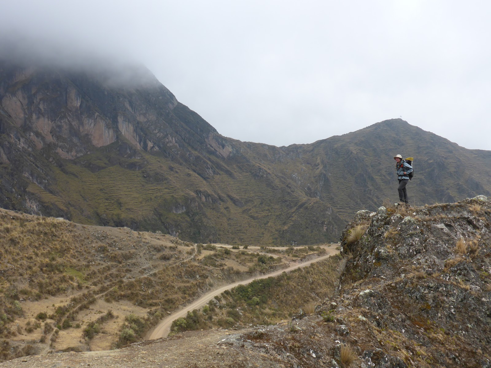
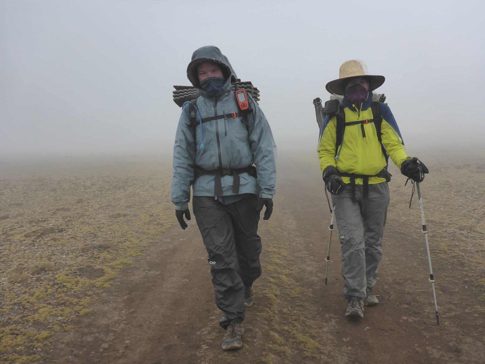
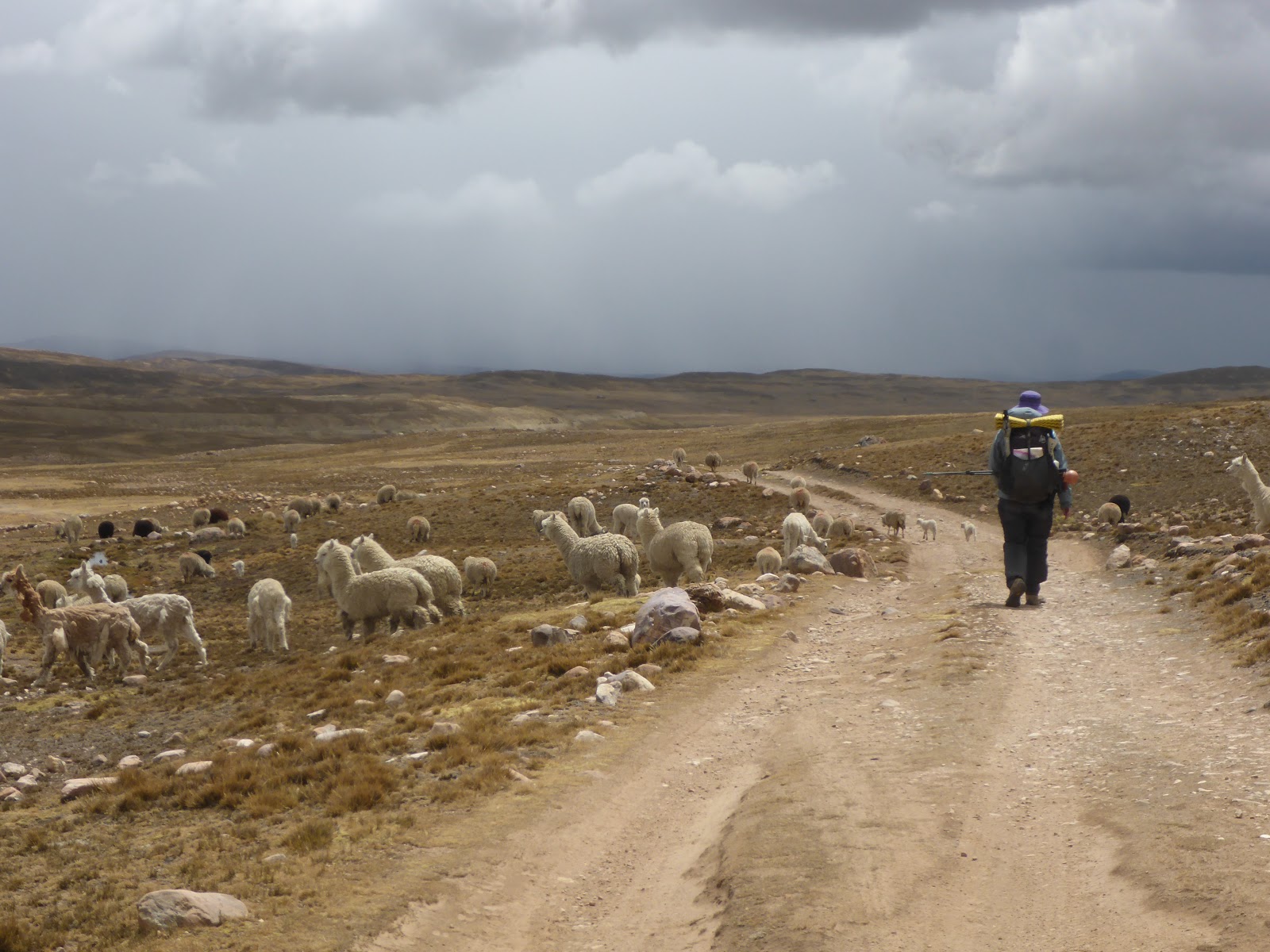
The next day, we continued our trek upwards and found our way along a lovely valley. The route we were following was obviously an old road, but had been washed out in a few places and was no longer accessible by vehicle. The many small towns along this ‘road’ seemed unaffected by its state of disrepair, and were going along their days as usual. Many people stopped and talked to us in many of the pueblos we passed through.
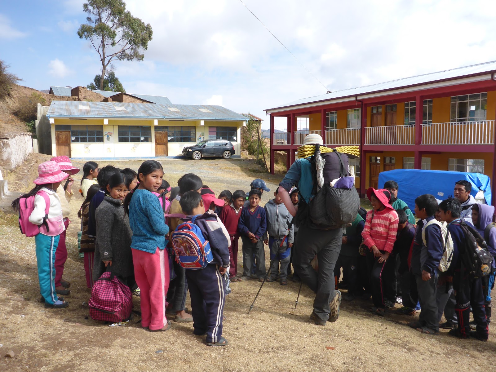
Compared to the Cordillera Real that we had just come out of, the route was less arduous, so we were able to (inadvertently) pick up speed. We were also traveling through at least a town per day which helped keep our food bags light. As we made our way from town to town, we also noticed that even though these remote towns were neighbors, each one had its own personality. Some were outgoing, with the animals and people coming up to us immediately, others were more stand off-ish, with us having to make the first move to communicate. The government of Bolivia also seemed to be trying to reach these towns, as we saw attempts at tourist infrastructure and town health centers.
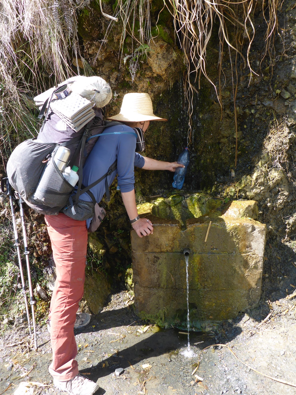
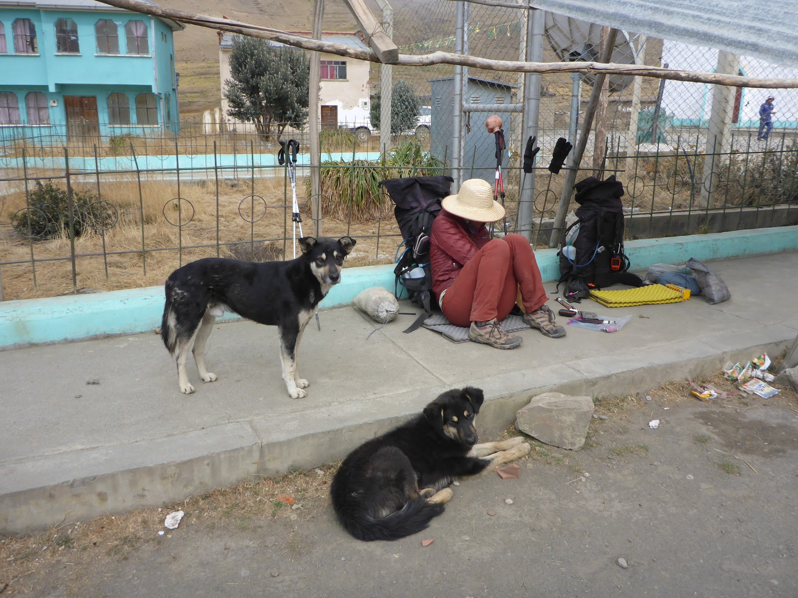
As we made our way towards the Bolivia/Peru border, the weather also decided to shift – we were coming into the rainy season. Because of this, and the not very flat land, we were staying in towns more often. Not many of these towns had what most people would consider accommodations, but we were able to ask around and sleep indoors. Indoors could be a spare room in a house, a small space in a school, or a multitude of other options I had never considered before.
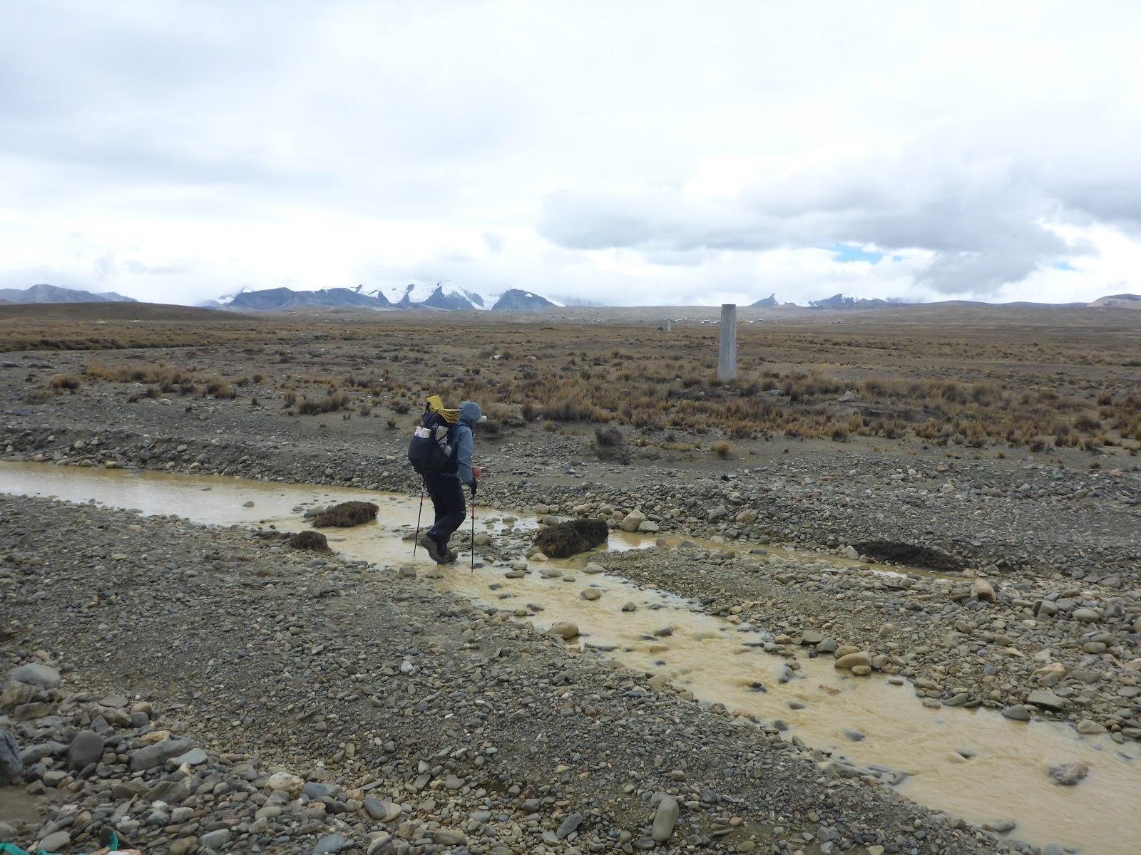
We dropped down from the town of Caja Cachi to get our passports stamped out of Bolivia and into Peru. Because of the remoteness of the area we were crossing, there was no occupied border post along our route. Thankfully, we had been warned and were able to get stamped through smoothly after a short explanation. We came back and continued along our route for a day before the weather really moved in.
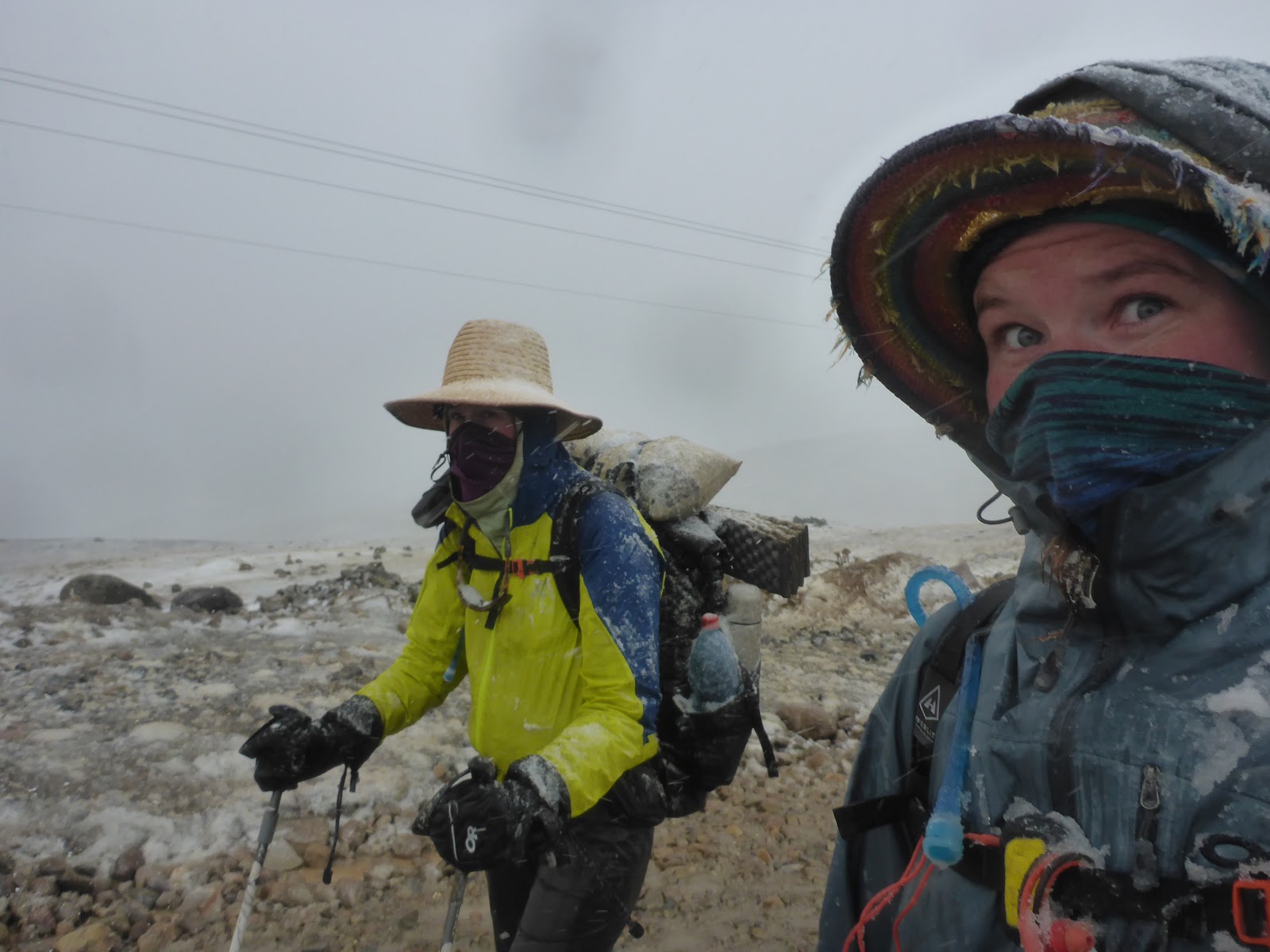
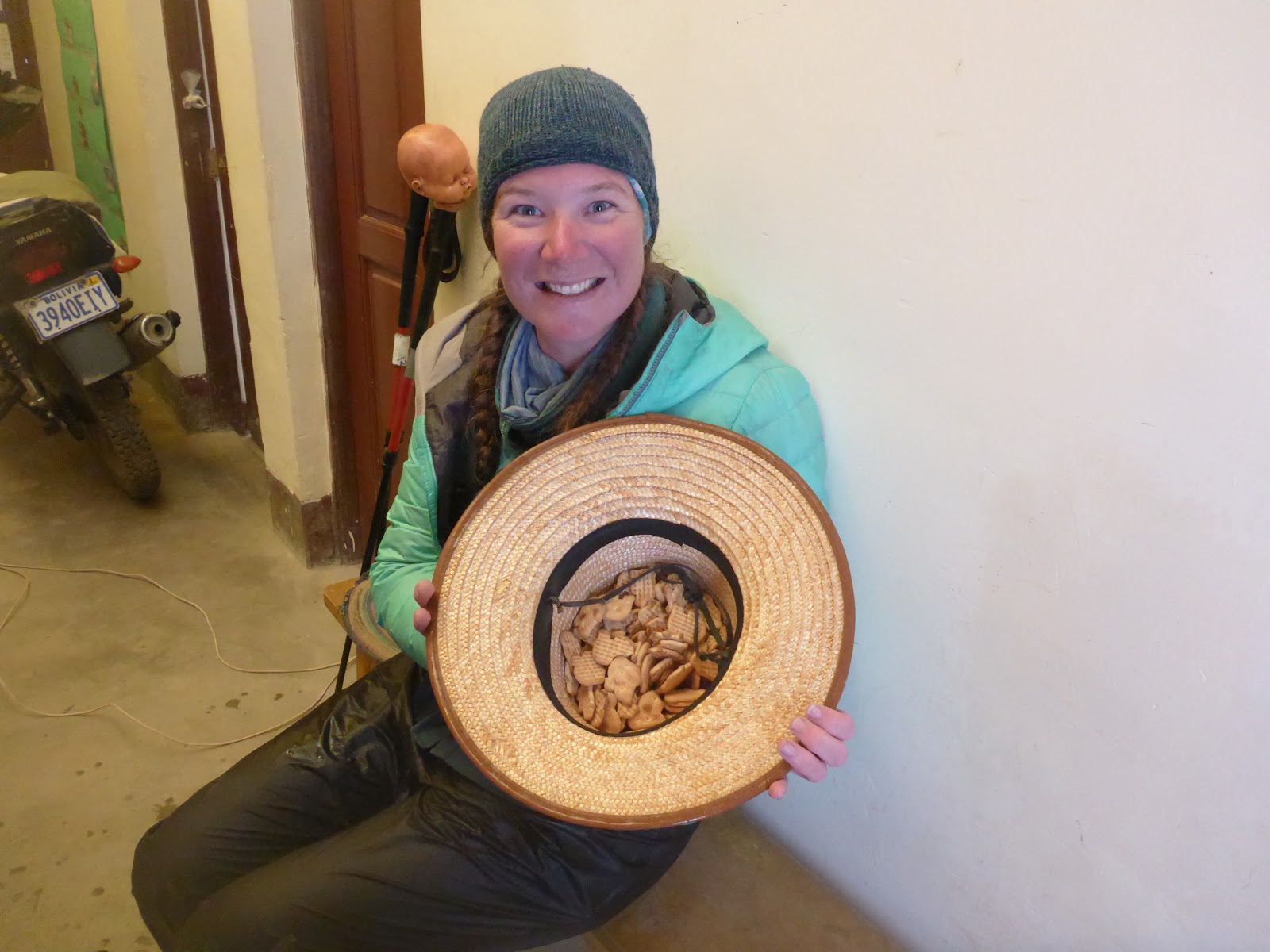
Our second day back on trail, we woke up to rain falling on our tent (we did still camp sometimes). We packed up and wore all of our rain gear – pants and jacket. By mid-morning, my feet were soaked, and the rain was coming down harder. We came upon a town around lunchtime and were able to eat at a small restaurant to be out of the rain, and it had slowed by the end of our meal. We walked out into the cloud and continued into the evening before finding a dry place to stay. After a night’s rest and attempts at drying out, we walked back out into the rain and over the day; everything got soaked again. This time, Mother Nature had a special treat for us – in the last hour of walking, the rain turned to a wet snow and plopped down on us. I was already soaked by this point, so the snow just perpetuated my descent into the realm of hypothermia. We made it into a Posta, or medical center, and the gentleman there gave us his space heater, and a hat full of animal crackers – we enjoyed both thoroughly and fell into an exhausted slumber that night.
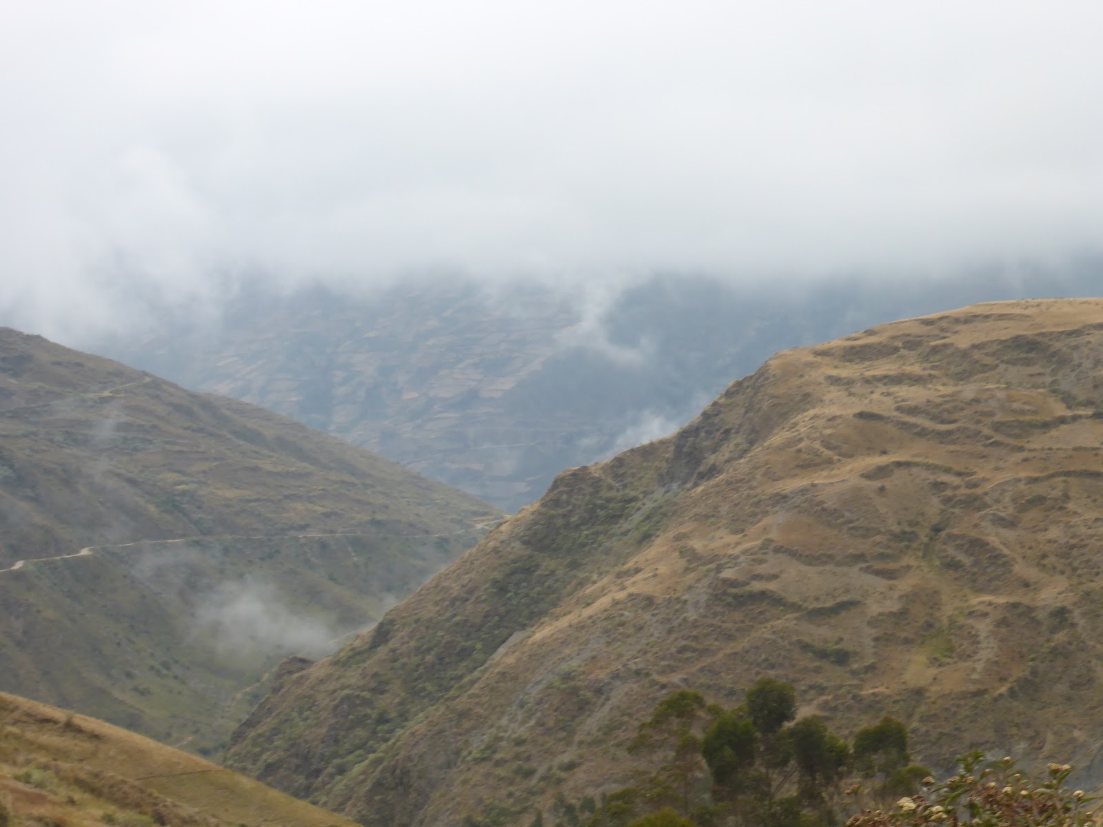
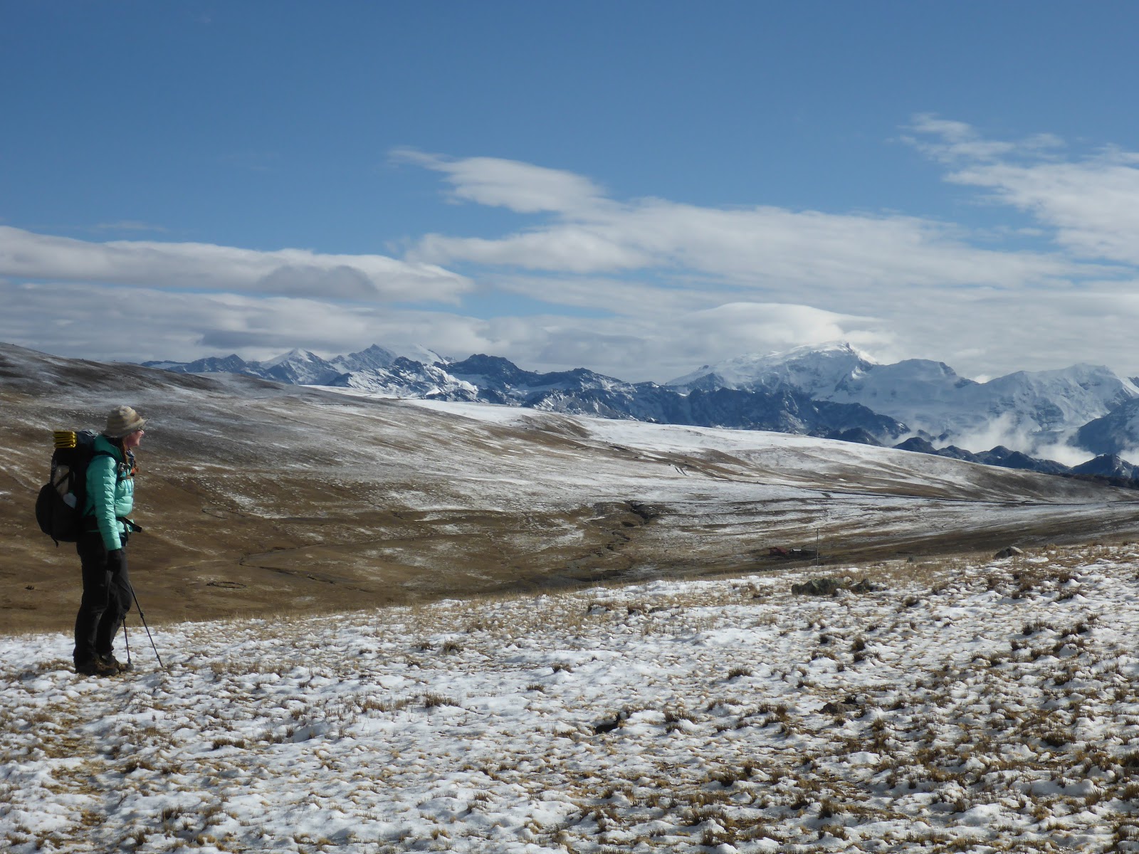
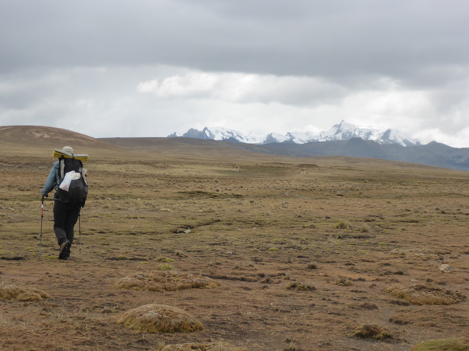
In the morning, the skies were clearer, though the temperatures were lower, and we got our first view of the Apolobamba Range. What mountains! They were coated in snow in the distance and steaming as the sun shone down. That morning, we also came upon a rio, the official border between Bolivia and Peru. As the river flowed sinuously down the valley, we made our way up along the Bolivian side, not yet ready to cross into Peru.
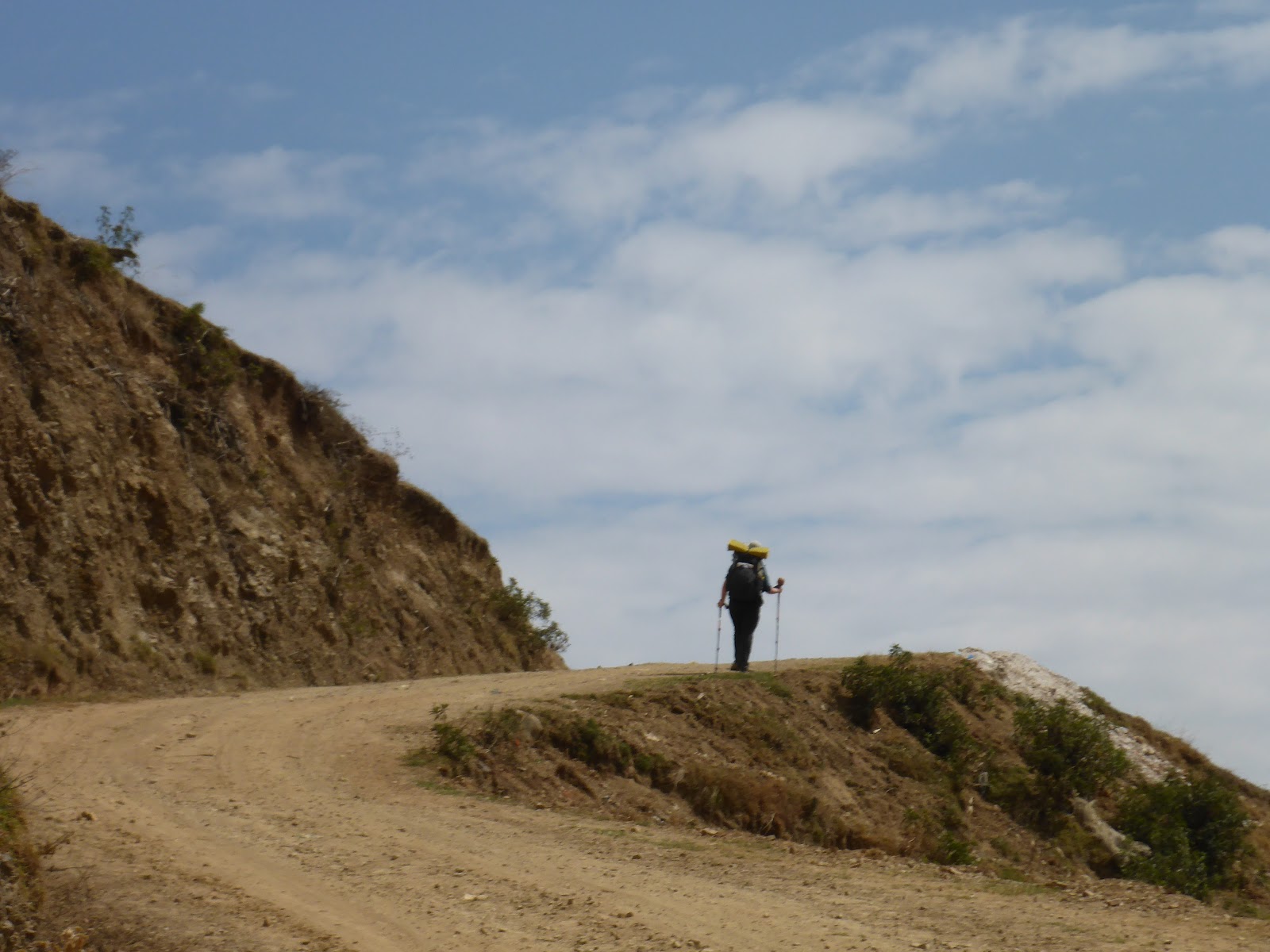
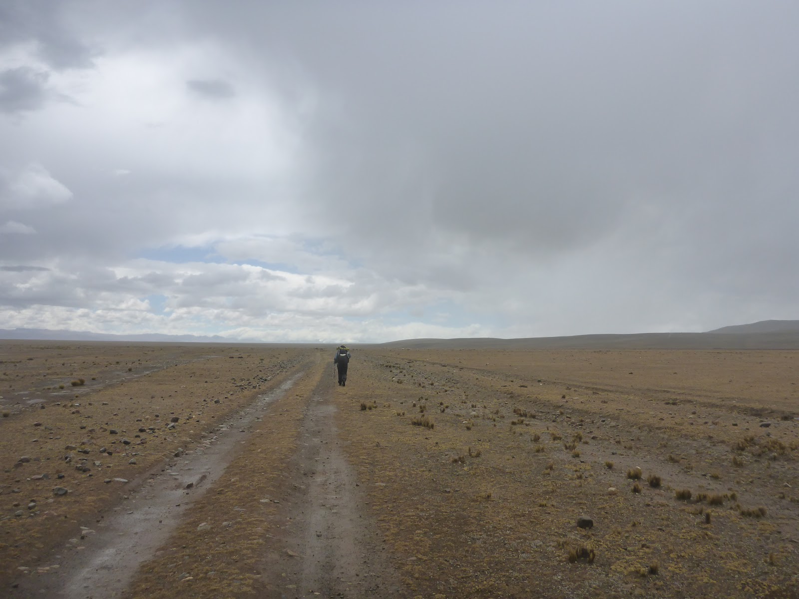
Crossing the altiplano at around 4,000 meters has its advantages and disadvantages. There are no trees, nor really anything not human-made, above hip height. We learned that we could see towns from very far away; we knew what was coming from nearly any direction, and also it is terrifying when it storms. We were watching clouds blow in and partly over us along the border valley. I ran into the small town of Huacachani when the lightning began striking around us. Fidgit was not far behind, and we found a small shop after our five kilometer speed walk/run in. As we were talking with the woman running the store, it came up that her brother had recently been killed while tending the family’s animals – he had been struck by lightning. The Bolivian/Peruvian altiplano life is not for the faint of heart. Despite her recent loss, the woman was in good spirits and introduced us to the rest of her family, one of whom housed us that night as they were preparing to go to an inter-country market at the border the next day.
We said our farewells the next morning, and continued along as the wind picked up and the clouds moved in once more. We officially crossed the border right at the pop-up international market, as they were packing up from two days of socializing and vending. The rains came in, though not as hard this time, and the wind nearly blew me off route a couple of times as we made our way into Peru towards the border/mining town of Ananea. We stayed in another small pueblo along the way, and a couple locals told us about a back way to go, so we followed their directions. We made it across another pass and dropped down into Ananea right as the predicted afternoon storm began sprinkling rain on us.
Wind -burnt and tired, we were ready for a rest. There weren’t very many options in the town of Ananea, so we took a mobilidad into a larger town to find a hot shower, contact our families, and exchange money (Bolivianos into Soles). After a few days of eating and a solid resupply of energy and fat, we made our way back to Ananea to continue along our route.
Click here to visit Neon’s blog page
Sorata a Ananea: Cruzando la Cordillera Apolobamba y hacia Perú a lo largo de la Ruta de los Tres Cordilleras
Escrito por Neon
Traduccion por Henry Tovar
Nos demoramos dejando Sorata, porque no estábamos emocionadas por la escalada de cientos de metros frente a nosotros. Entonces, en lugar de irnos, decidimos desayunar y almorzar en el mismo restaurante y luego salir a caminar con los estómagos llenos. Subiendo. En la mitad del día. ¿Puedes ver a dónde va esto? No me fue bien, y terminé perdiendo la mitad de lo que había comido en un desafortunado incidente de vómitos. Terminamos caminando hasta la noche para llegar a un lugar lo suficientemente plano como para instalar nuestra tienda y desmayarnos.
Al día siguiente, continuamos nuestra caminata hacia arriba y encontramos nuestro camino a lo largo de un hermoso valle. La ruta que seguíamos era obviamente una carretera vieja, pero había sido arrasada en algunos lugares y ya no era accesible en vehículo. Los muchos pueblos pequeños a lo largo de este “camino” no parecían afectados por su estado de deterioro, y estaban yendo a lo largo de sus días como de costumbre. Mucha gente se detuvo y habló con nosotros en muchos de los pueblos que pasamos.
En comparación con la Cordillera Real de la que acabamos de salir, la ruta fue menos ardua, por lo que pudimos (inadvertidamente) aumentar la velocidad. También estábamos viajando por al menos una ciudad por día, lo que ayudó a mantener nuestras bolsas de comida livianas. A medida que avanzabamos de pueblo en pueblo, también notamos que aunque estos pueblos remotos eran vecinos, cada uno tenía su propia personalidad. Algunos fueron extrovertidos, con los animales y las personas acercándose a nosotros de inmediato, otros se mantuvieron más distantes, y tuvimos que hacer el primer movimiento para comunicarnos. El gobierno de Bolivia también parecía estar tratando de llegar a estas ciudades, ya que vimos intentos de infraestructura turística y centros de salud de la ciudad.
A medida que avanzábamos hacia la frontera entre Bolivia y Perú, el clima también decidió cambiar: estábamos entrando en la temporada de lluvias. Debido a esto, y la tierra no muy plana, nos quedamos en las ciudades con más frecuencia. No muchas de estas ciudades tenían lo que la mayoría de la gente consideraría como alojamiento, pero pudimos preguntar y dormir en el interior. En el interior podría ser una habitación libre en una casa, un espacio pequeño en una escuela, o una multitud de otras opciones que nunca antes había considerado.
Nos bajamos de la ciudad de Caja Cachi para obtener nuestros pasaportes sellados fuera de Bolivia y hacia Perú. Debido a la lejanía del área que estábamos cruzando, no había ningún puesto fronterizo ocupado a lo largo de nuestra ruta. Afortunadamente, nos habían avisado y hemos podido aprobar sin problemas después de una breve explicación. Regresamos y continuamos por nuestra ruta durante un día antes de que el clima realmente se moviera.
Nuestro segundo día de regreso en el camino, nos despertamos con la lluvia cayendo sobre nuestra carpa (todavía acampamos a veces). Recogimos y usamos todo nuestro equipo de lluvia: pantalones y chaqueta. A media mañana, mis pies estaban empapados y la lluvia caía con más fuerza. Llegamos a un pueblo a la hora del almuerzo y pudimos comer en un pequeño restaurante para estar fuera de la lluvia, y se había ralentizado al final de nuestra comida. Salimos a la nube y continuamos por la tarde antes de encontrar un lugar seco para quedarnos. Después de una noche de descanso e intentos de secarse, volvimos a la lluvia y durante el día; todo se empapó de nuevo. Esta vez, la madre naturaleza tuvo un regalo especial para nosotros: en la última hora de caminata, la lluvia se convirtió en nieve húmeda y se dejó caer sobre nosotros. Ya estaba empapado por este punto, por lo que la nieve simplemente perpetúa mi descenso al reino de la hipotermia. Lo hicimos en una Posta, o centro médico, y el caballero nos dio su calentador de espacio y un sombrero lleno de galletas de animales: disfrutamos ambos a fondo y caímos en un sueño agotado esa noche.
En la mañana, los cielos fueron más claros, aunque las temperaturas eran más bajas, y obtuvimos nuestra primera vista de la Cordillera Apolobamba. Que montañas! Estaban cubiertos de nieve en la distancia y humeantes mientras el sol brillaba. Esa mañana, también encontramos un rio, la frontera oficial entre Bolivia y Perú. Mientras el río fluía sinuosamente por el valle, subimos por el lado boliviano, todavía no listos para cruzar al Perú.
Cruzar el altiplano a unos 4.000 metros tiene sus ventajas y desventajas. No hay árboles, ni nada que no sea hecho por el hombre, por encima de la altura de la cadera. Aprendimos que podíamos ver pueblos desde muy lejos; sabíamos lo que venía de casi cualquier dirección, y también es aterrador cuando hay tormentas. Estábamos viendo cómo las nubes volaban y sobre nosotros a lo largo del valle fronterizo. Corrí hacia la pequeña ciudad de Huacachani cuando el rayo comenzó a golpear a nuestro alrededor. Fidgit no se quedó atrás, y encontramos una pequeña tienda después de nuestra caminata / carrera de cinco kilómetros de velocidad. Mientras hablábamos con la mujer que administraba la tienda, se supo que su hermano había sido asesinado recientemente mientras atendía a los animales de la familia. había sido alcanzado por un rayo. La vida del altiplano boliviano / peruano no es para los débiles de corazón. A pesar de su pérdida reciente, la mujer estaba de buen humor y nos presentó al resto de su familia, uno de los cuales nos alojó esa noche mientras se preparaban para ir a un mercado internacional en la frontera al día siguiente.
Nos despedimos a la mañana siguiente y seguimos adelante mientras el viento soplaba y las nubes se movían una vez más. Cruzamos oficialmente la frontera en el mercado internacional emergente, ya que estaban empacando desde dos días de socialización y venta. Llegaron las lluvias, aunque no tanto esta vez, y el viento casi me dejó sin rumbo un par de veces mientras nos dirigíamos al Perú hacia la ciudad fronteriza / minera de Ananea. Nos quedamos en otro pequeño pueblo a lo largo del camino, y una pareja local nos contó sobre un camino a seguir, así que seguimos sus instrucciones. Atravesamos otro paso y bajamos a Ananea justo cuando la tormenta de la tarde anunciada comenzaba a llover sobre nosotros.
No hubo muchos opciones en la ciudad de Ananea, así que tomamos una mobilidad en una ciudad más grande para encontrar una ducha caliente, contactar a nuestras familias e intercambiar dinero (bolivianos en soles). Después de unos días de comer y un sólido reabastecimiento de energía y grasa, volvimos a Ananea para continuar nuestra ruta.

Comments (3)
you’re both getting a deep education on the way of the world, a phd on how americans live. you are blessed to be on this walk, but also brave to conceive and commit to such an incredible journey. thank you for sharing your trip with us. it continues to inspire me.
I continue to be stunned by your journey. Thank you for every detail, photograph, sentiment. We are pushing through each mile with you.
Thank you for sharing your dedication of such a long journey. Your commentary helps me to realize how blessed and comfortable we are in the USA. The hospitality and strength of the local people you engage with is inspiring. They know how to enjoy life without our many conveniences! Be careful and get rest when possible.